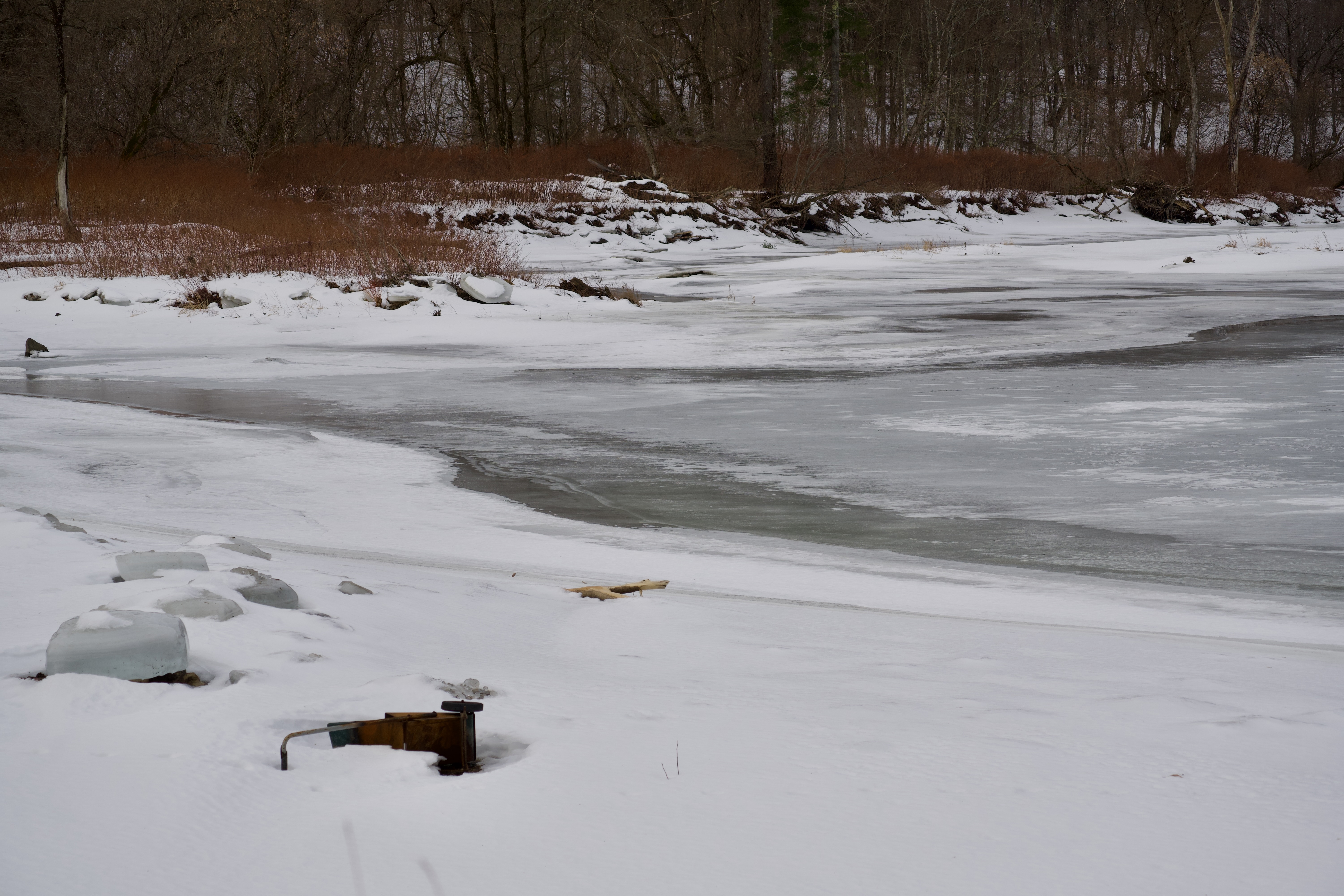
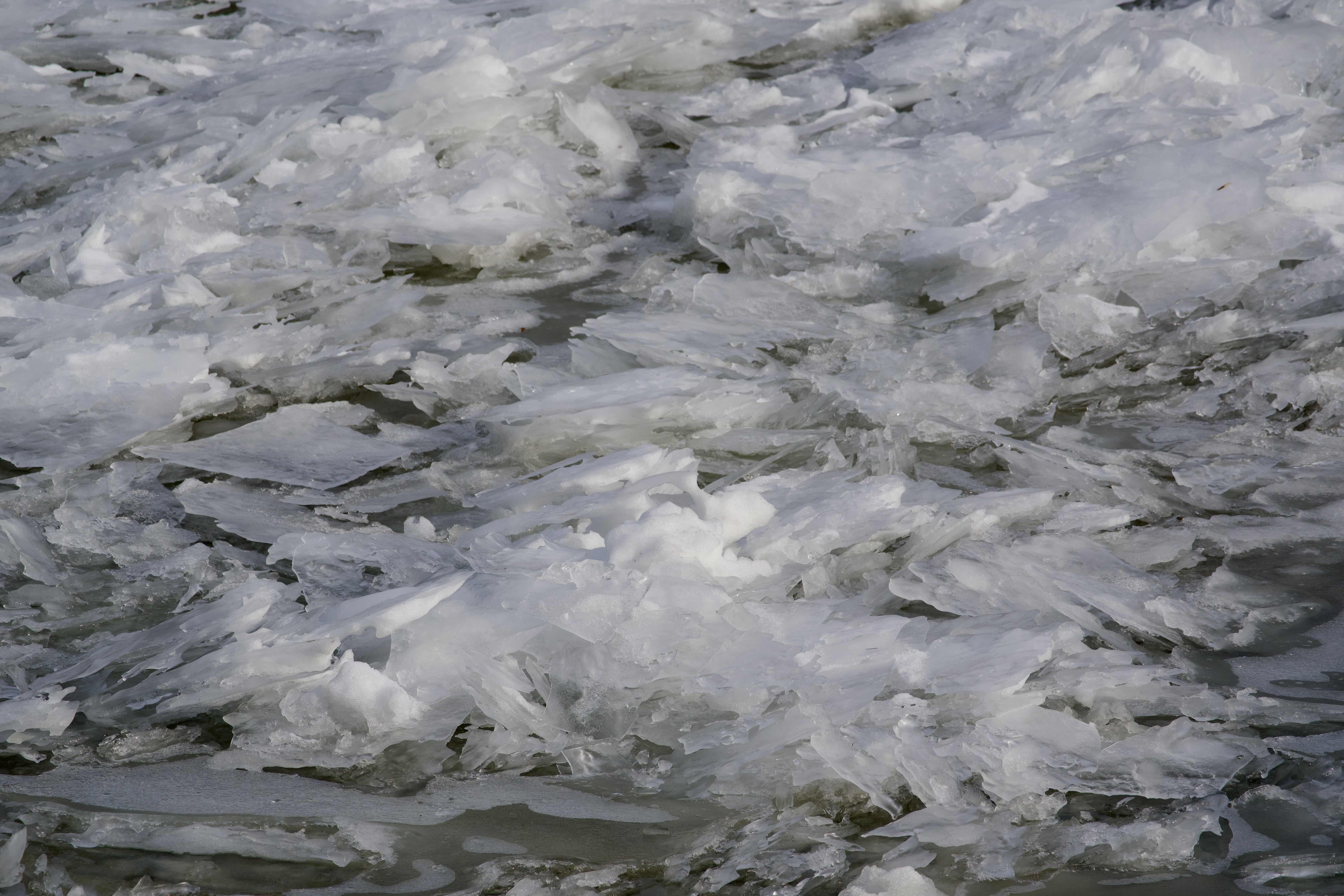
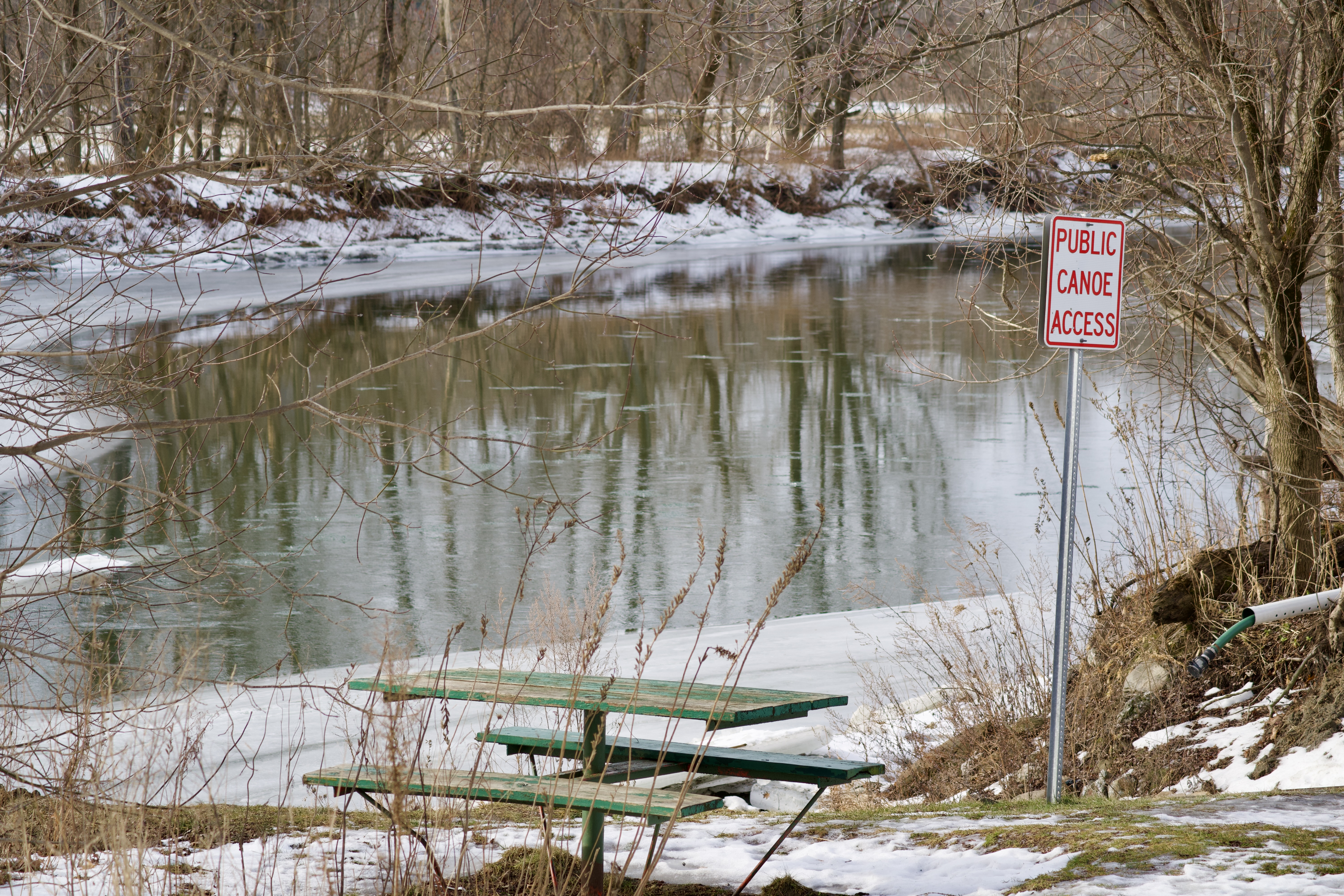
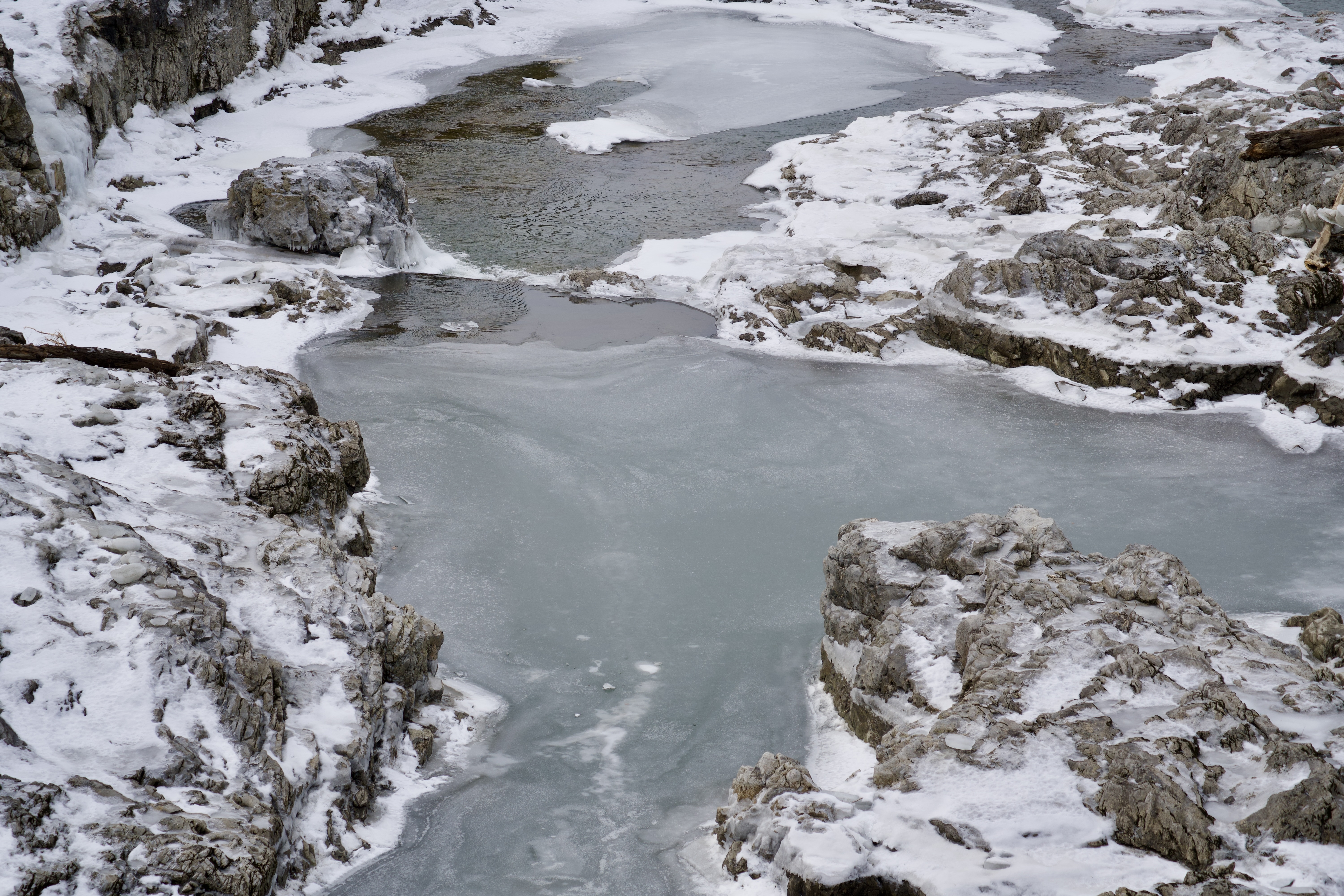
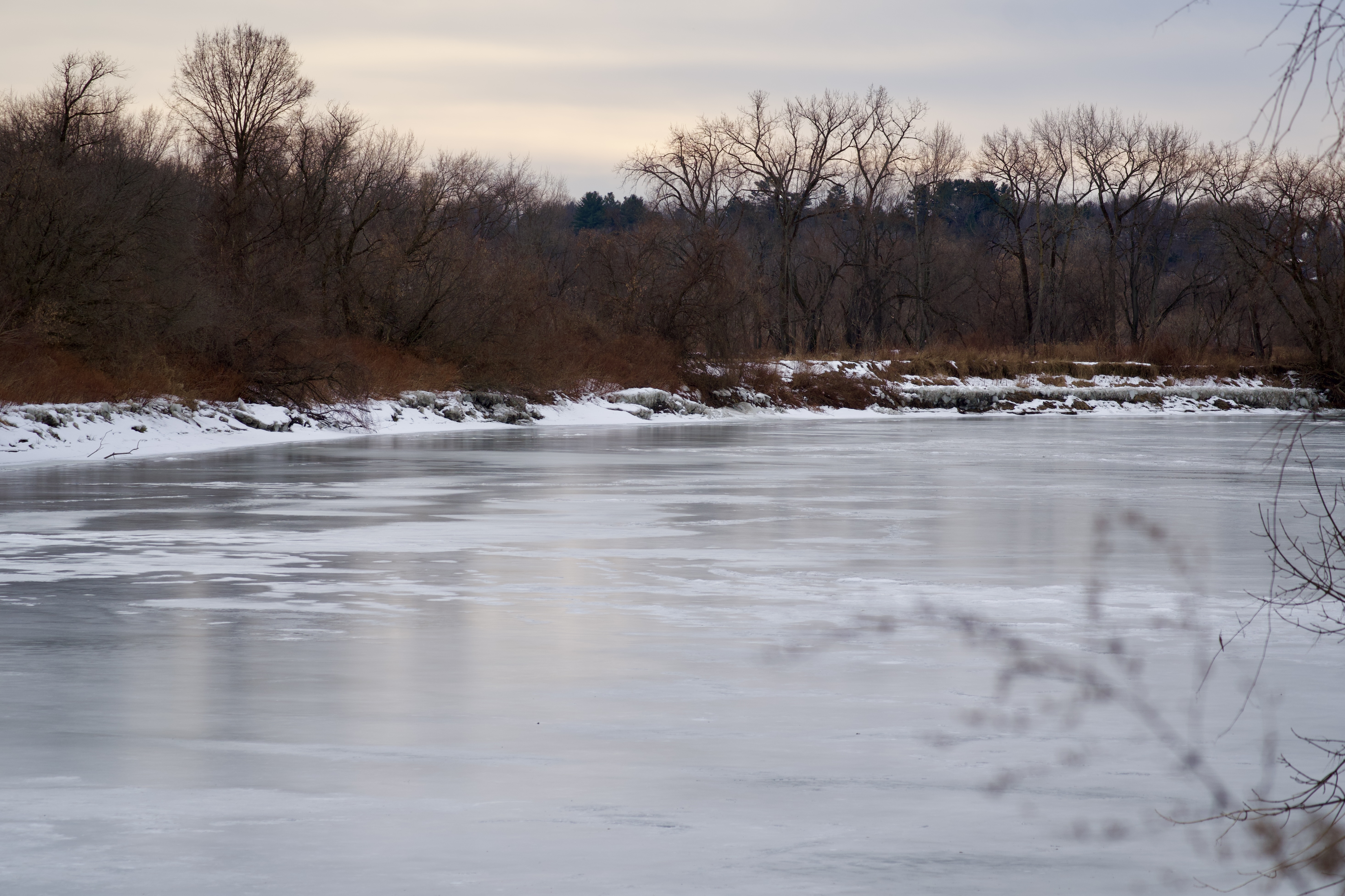
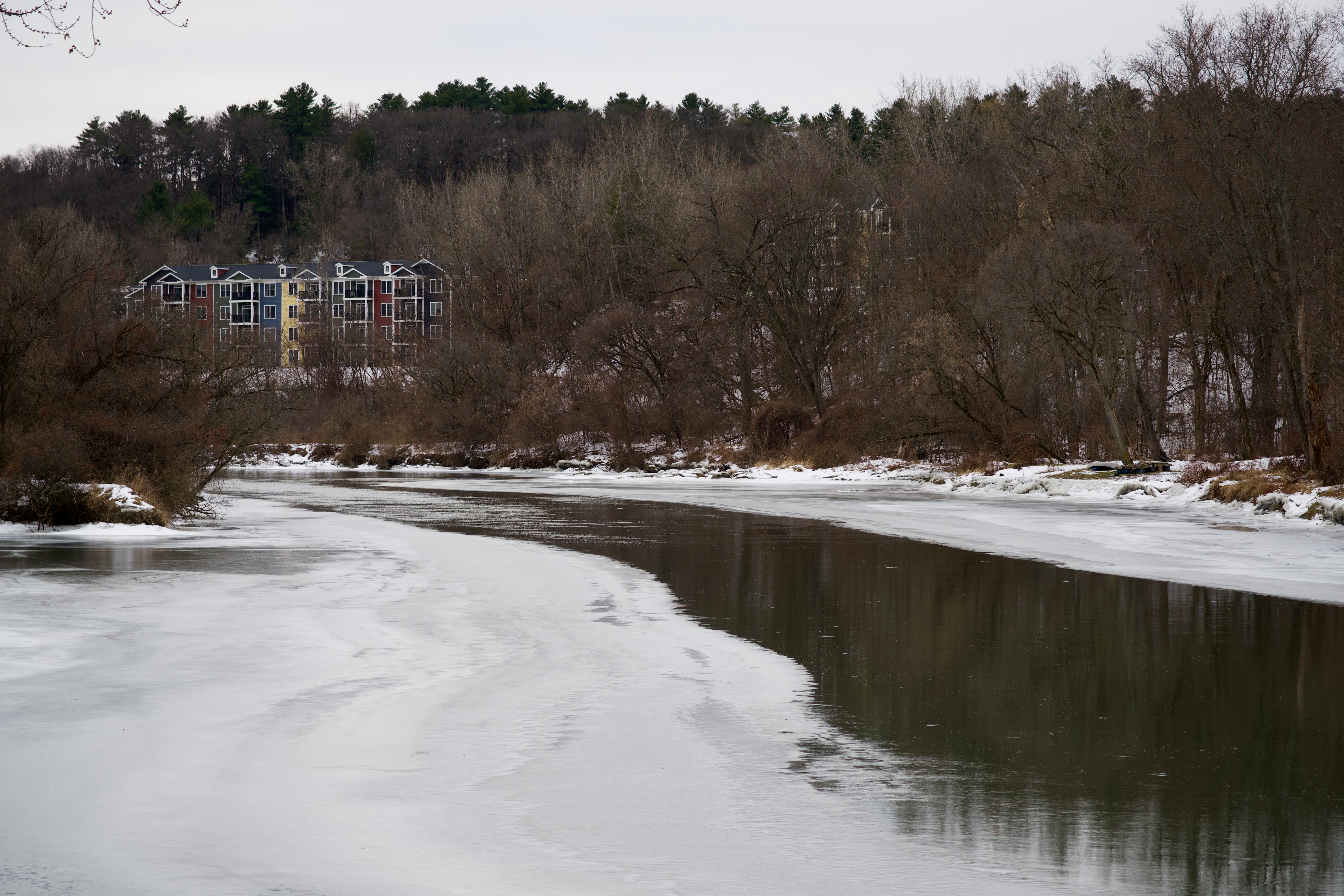
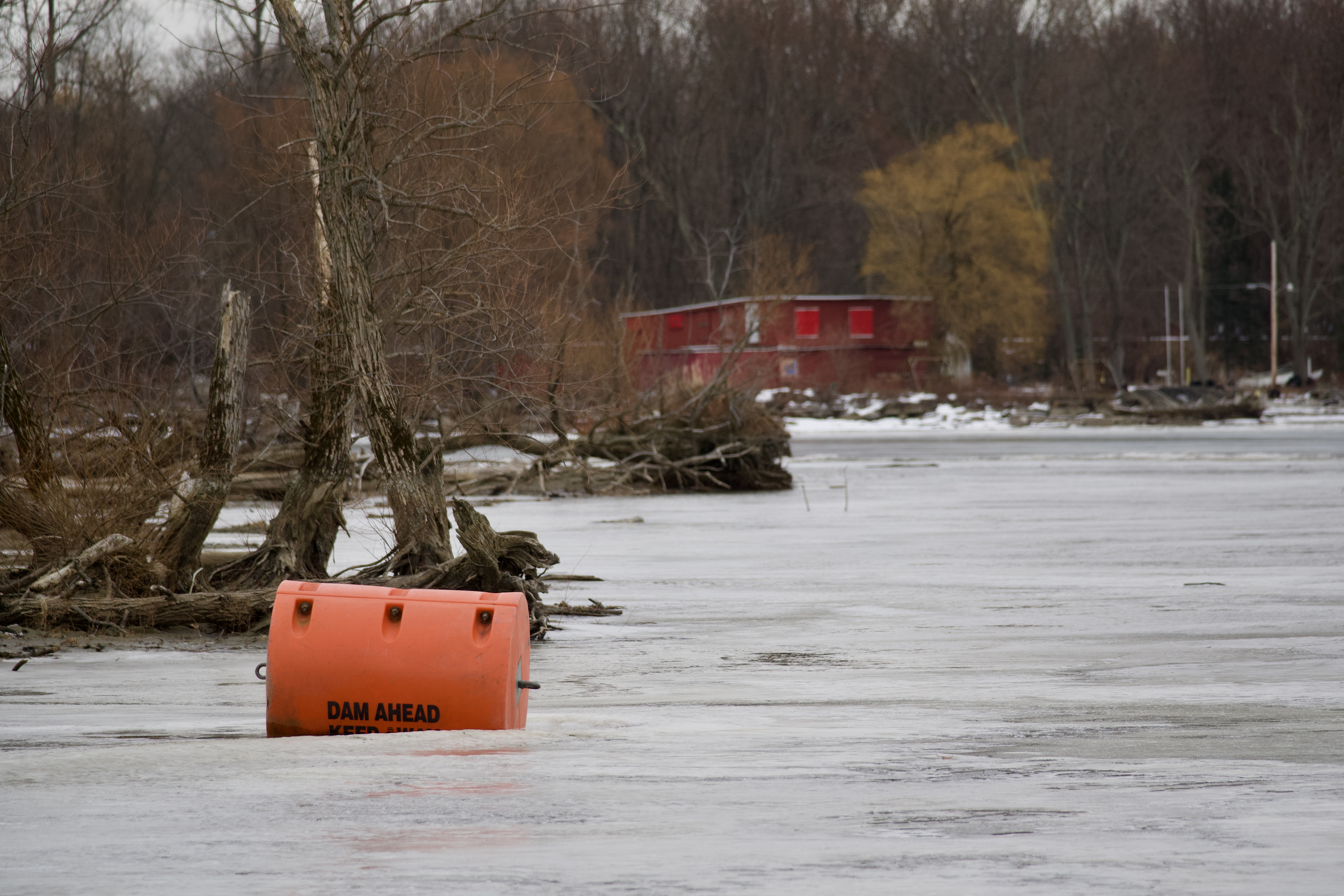
I participated in the annual Winter Bald Eagle Survey yesterday, hosted by Audubon Vermont. The purpose of the survey is to monitor wintering eagle populations across the United States. For several years I have monitored the same route in early January–the Winooski River from Waterbury to Lake Champlain. Each year, while looking for eagles, I take one photo at each spot I stop. Depending on access and weather I usually stop at 12-14 locations. My goal this year was to take one photo only, to press the shutter button just once, and to share those photos here.
The weather was warm, above freezing at least. I did see one Bald Eagle, immature, right at the lake. It perched on a submerged log before spreading its wide wings and slowing flying out of site up the river. Here is my January 2026 portrait of this stretch of the Winooski River.