

Late day light after counting spruce and fir cones
Sunday morning I got up early, again, to listen for high elevation birds. I had just done this the week before on the Worcester Range, across the valley, so this was take two in a new place. Stowe Mountain Resort is generous enough to let employees and volunteers of Vermont Center for Ecostudies, who manages the survey, use the ski patrol hut near the summit of Mount Mansfield. So I got to drive up the toll road and stay there for the night. That was much easier, and quicker, than hiking up and tenting, as I did a week ago.
There were a couple other volunteers, there to survey another nearby route, also staying in the ski patrol hut. We did not chat much before I was packed up and out of there, however. The resort charges for use of the toll road for most people; they let volunteers go up for free, but not until they close it to other traffic at 4:00. So I was at the hut around 5:00. I wanted to get one part of the survey, the count count, out of the way, and I wanted to get up there and do it before it got too late. So after I dropped my bag, off I went for a hike.
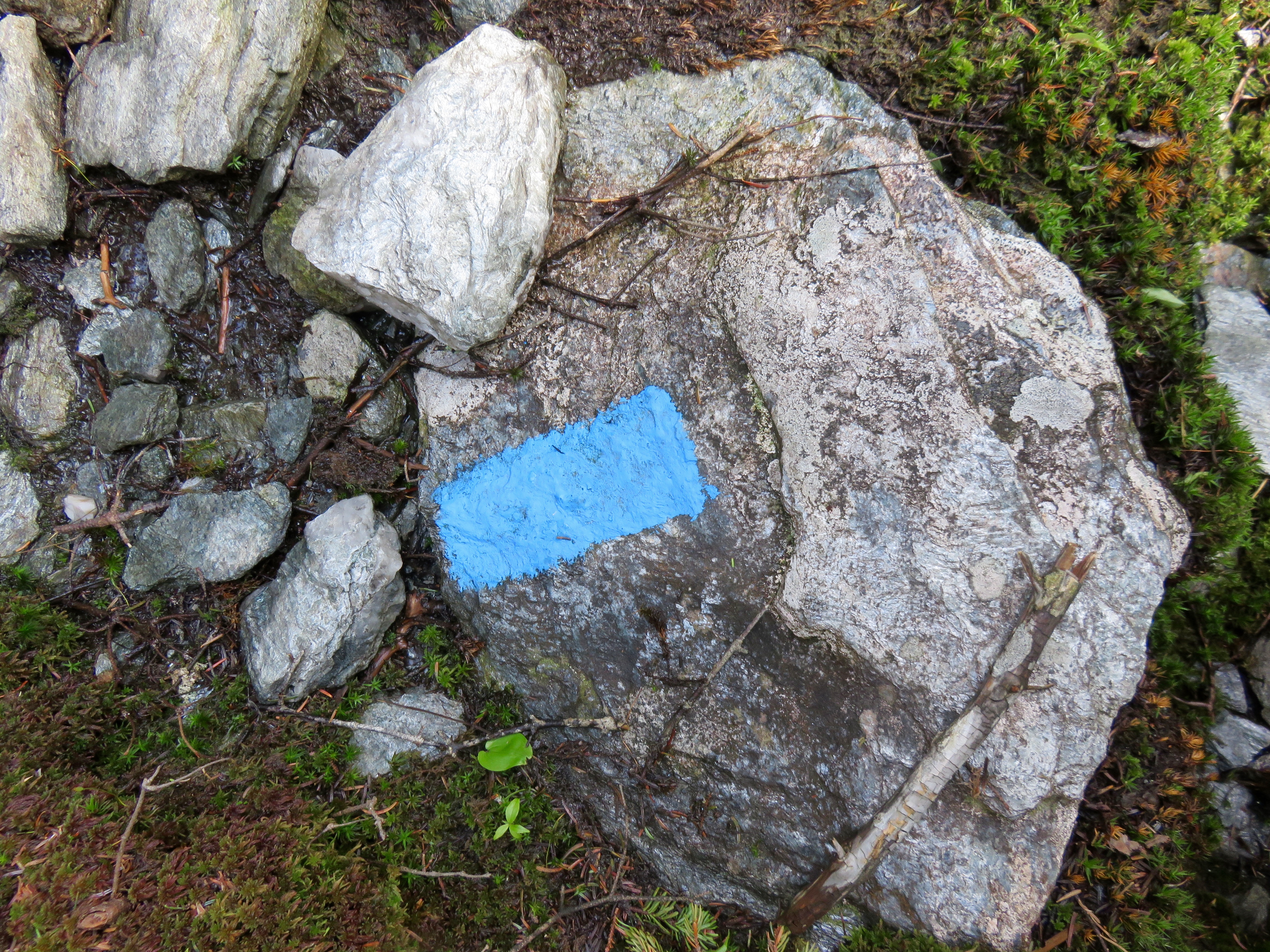
Trail marker along the route
It was a beautiful night, golden light in a partly cloudy sky. My hike was not long to get to the first survey point, maybe 30 minutes. There were a lot of cones when I could see them. In some spots the trees were too dense for me to see the tops where the cones are. In some spots, on the open ridge line, there were no trees with cones to be had. As I mentioned in my last post about this, there is a correlation between cone density and squirrel populations. When the squirrel population booms after a good cone year, they predate bird eggs when the cones don’t aren’t there to eat. Hence the cone counting, to see how much it affects birds populations.
I got back to the ski patrol hut before 8:00, ready to eat the sandwich (plus the beer) I had brought up with me. The other folks were still out on their cone survey so we did not get to chat yet again as I was ready to hit the sack early. After a night of tossing and turning I was ready to get up when my alarm went off at 3:30. And I was off for another hike.

Not all the points are easy to reach–this is the actual trail to one of them
Scouting the points made easier it to find them in the early hours. I sat at each point for 20 minutes, according to the survey protocol, listening and looking for several bird species. I heard many of them and saw a couple birds to boot. It was a successful survey. I got to spend some quiet time (except for all that avian singing) on Mount Mansfield, getting fantastic views at three of the six points. By 8:00 I was done, and the singing slowed down. I took a few minutes to admire the beautiful state in which I live–the Worcester Range to the east, Lake Champlain to the west, the Green Mountains stretching north and south. The overcast skies cleared and the sun dappled the rolling green landscape. Hard not to appreciate that.

Morning view from Mount Mansfield ridge
Back at my car I changed from synthetic clothes to cotton and headed down the hill. I hadn’t even broken a sweat for this survey; sure I hiked less than my other route, but the weather was pretty much ideal. I stopped for a bagel in Stowe on the way home, mingling my unshaven mug with those of diners just risen for the day. I had already put in a good day’s work. Coffee in hand, I headed back home, the songs of thrushes and warblers dancing around in my tired brain.

