Last weekend I completed my latest high elevation bird survey for the Vermont Center for Ecostudies‘ Mountain Birdwatch program. Every June people head to the highest points of the northeast to search for bird species that hang out up there. I have been doing it since 2000, so this is my 25th year participating.
I heard about this program because the Green Mountain Club put it in a newsletter or an email. I had already been volunteering for the GMC as a corridor monitor, scoping out this big piece of land next to the Long Trail in Bolton. I enjoyed getting out in the woods for that, so why not one other opportunity to explore the mountains and to help out at the same time? At the time the survey was hosted by the Vermont Institute of Natural Science (VINS). I got in touch and signed up.
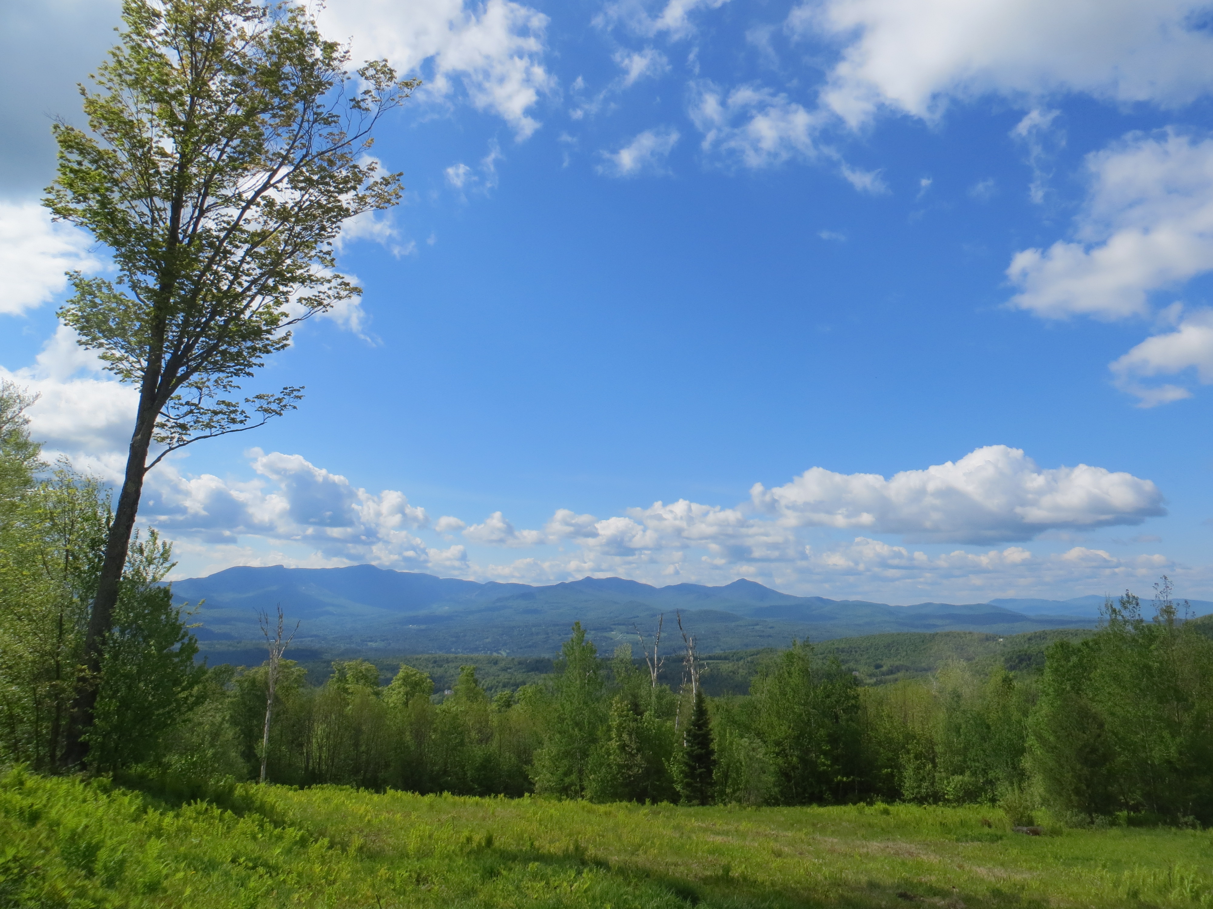
My spouse and I lived up the mountain in Bolton then and I was assigned to survey Ricker Peak, between Bolton Mountain and Camel’s Hump. It isn’t on the Long Trail, but there was an old access road that went most of the way there, used by Bolton Valley Resort and whoever maintained the cell tower up there. Because it was so close I could hike right from the house, starting on the alpine ski trails, to get to that access road. It meant getting up early, since that is when the birds are active, but that was not a problem. Have you been up in the mountains when the day wakes? It is magical.
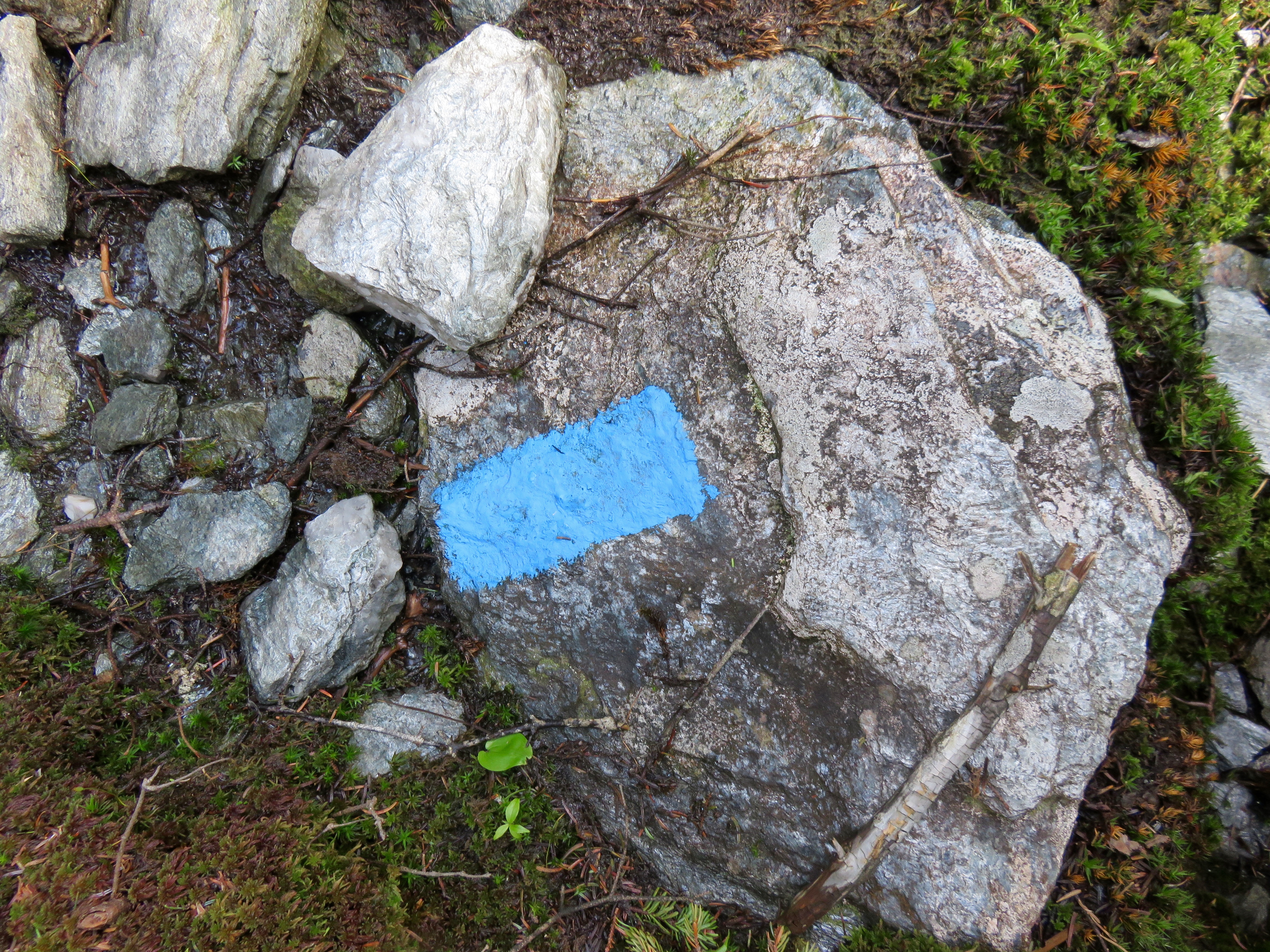
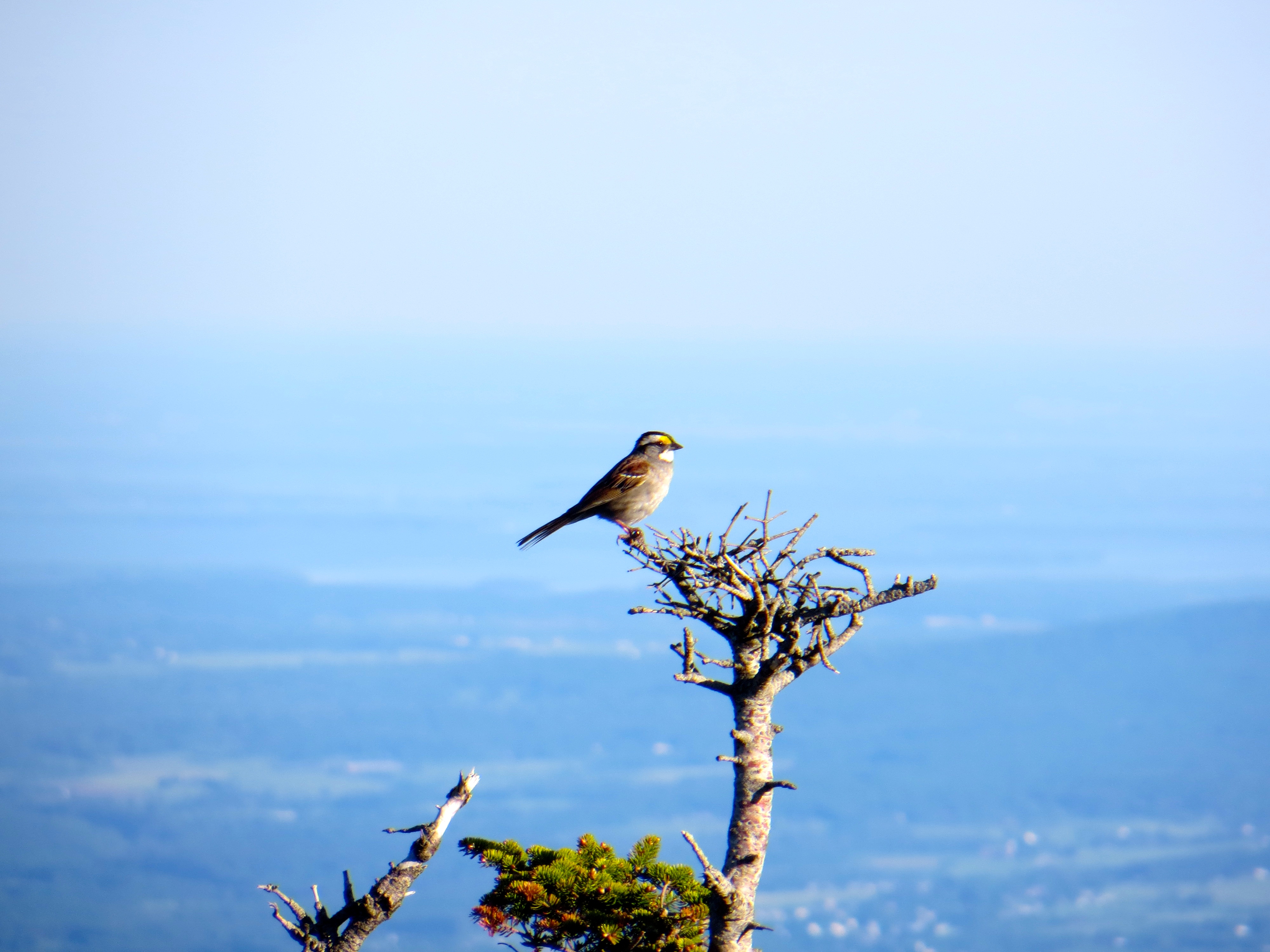
Because these birds nest up high, and because vegetation there is so dense (spruce and fir, mostly), seeing the birds was a rare thing. Mostly it required hearing them. So the training for the survey meant learning bird songs and calls. That is when I learned that birds have songs and calls, and learning both would be helpful. The training required listening to recordings to memorize them. This was 2000, before smart phones, before iPods even, so I recevied a CD in the mail. Mostly I listened in the car until I knew all those bird sounds.
When the program started there were only five focal species, the ones to pay attention to and to mark on data sheets for the study. These were Bicknell’s Thrush, Swainson’s Thrush, Blackpol Warbler, Winter Wren and White-Throated Sparrow. Plus Red Squirrel. Since squirrels will eat bird eggs, bird populations can be affected when squirrel populations jump. I knew the sound of all those critters well. Of course, they were not the only birds I heard so, using other CDs of bird songs, I eventually learned more bird songs and calls. I was too curious not to learn them.
The thing about learning all those bird songs was that it expanded my world. If I went for a hike, or a walk anywhere, I could hear birds singing, often pretty far away. Instead of just the trail in front of me and the woods beside me, I experienced what was beyond what I could see. That Black-Throated Blue Warbler was way off in those maples. It made the woods bigger. And once you start hearing it, it is hard to turn off. The world grows beyond what you can see.
I had several routes over the years, all in Vermont. At one point, however, they decided it made sense to be consistent. Rather than survey any of the peaks that might have those high elevation species, especially Bicknell’s Thrush, the long-term reliability of the data depended on surveying the same places repeatedly. Now there are fewer routes but, if possible, all the peaks in the study get surveyed each year. Ricker Peak didn’t make the cut, so I ended up with a route in the Worcester Range, incredibly beautiful if a tough hike. Now, I have two routes, one on Mount Mansfield and one on Bolton Mountain.
Another change was the timing. At first it was acceptable to do the survey at dusk, since birds are active then as well. The preference was morning, and that was when I did it, but at least dusk was an option. And the morning survey had to be completed between 6:00 and 10:00. That shifted to a 4:00 am start time and eventually each route had a specific start time. When I surveyed the route on Ricker Peak, I would wake up, grab my stuff, and hike up in time to be at the first survey point at 6:00 am. Now when I survey the Bolton Mountain route, I have to hike in the day before and get up before 4:00 am to be at the first survey point by 4:20 am. I wrap things up by 8:00.
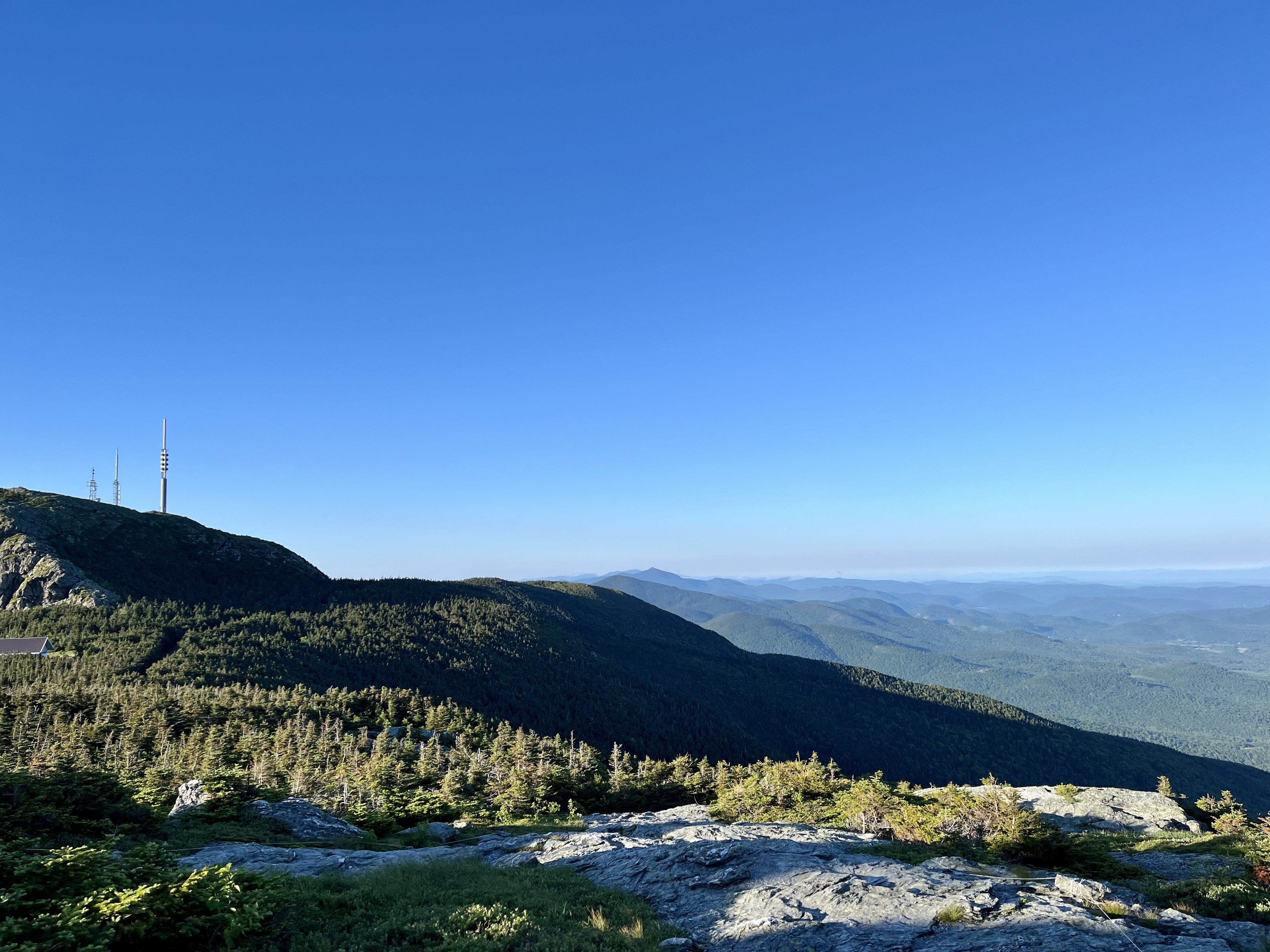
Due to some good luck I managed to get the route I just completed on Mount Mansfield. The first point is not far from the visitor center at the top of the toll road. Vermont Center for Ecostudies, who manages the survey, has permission to use the toll road off-hours. They do other bird studies up there as well– with mist nets and all that jazz. I benefit from access to the road. For this route I get up in the wee hours, drive to Stowe, pass through the gate and sign in, then drive up the road. I park in the visitor center lot and hike 15 minutes to the first survey point. This year I was there by 4:00 am just as it was getting light, and started soon after that.
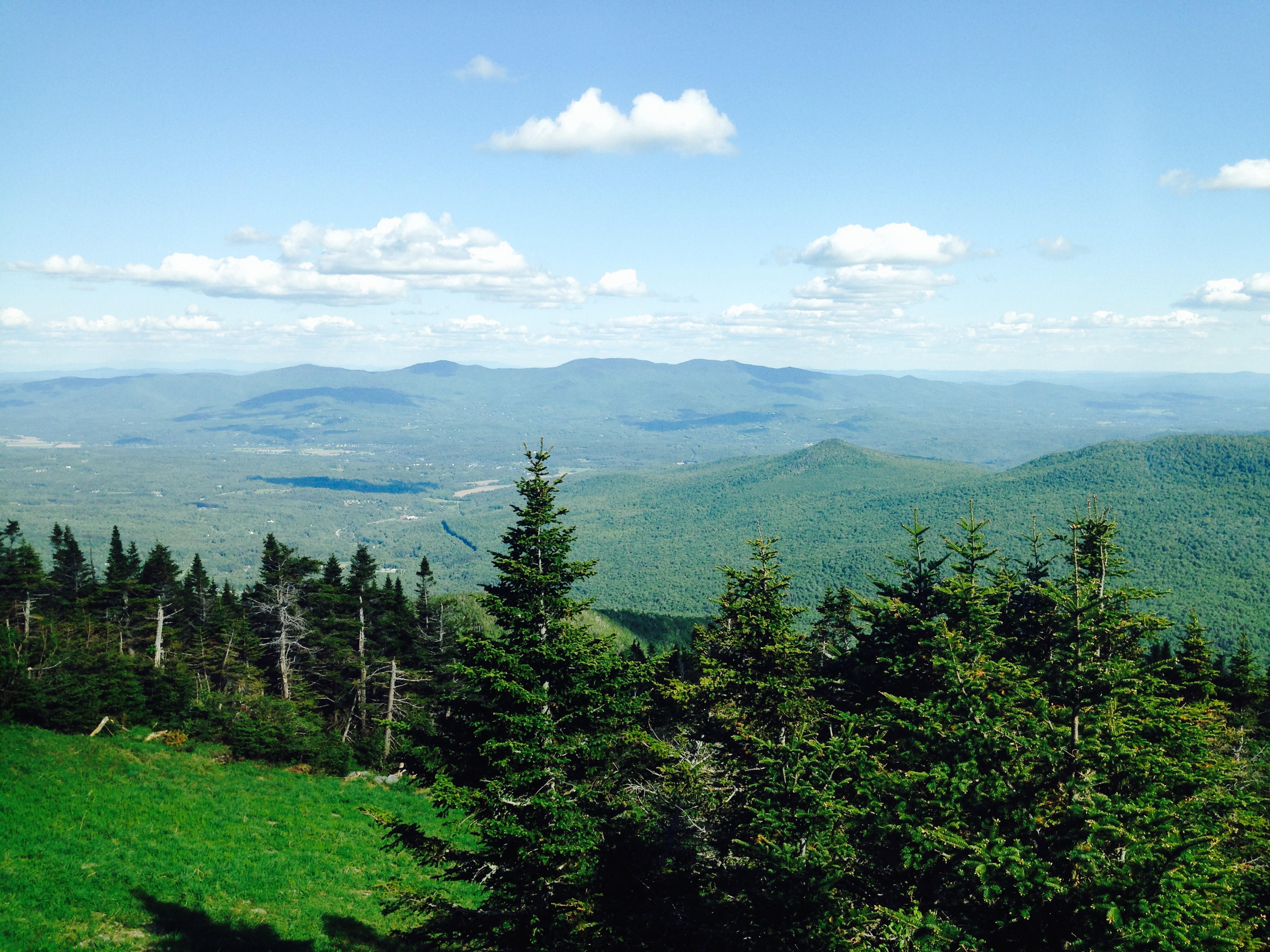
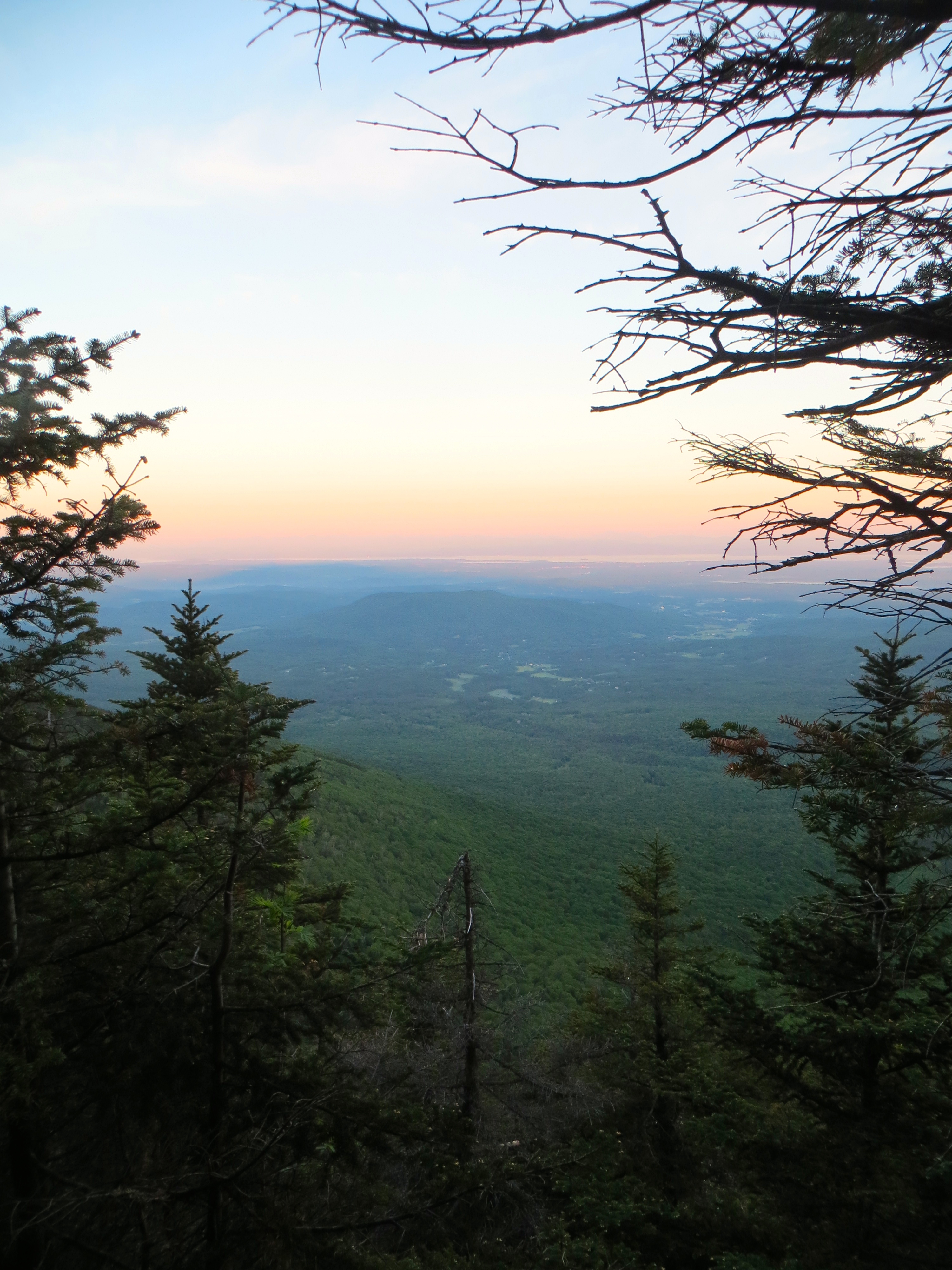
There are some challenging points on the route, but the last three are on the ridge. This time the birds at those ridge points were much quieter than usual, but there is little better than being close to the highest point in the state as the sun comes up. The fog floats in the valleys, Lake Champlain shines, ravens soar over the hills, and it easy to forget all the garbage that is happening in the world. For the first time this year I saw several people by the time I hit my end time at the last survey point–a couple of hikers and several trail runners. Apparently I am not the only one who finds morning in the high peaks enjoyable.
So one more year in the books for this survey. I do wonder how many more years I will continue to do this. I have a couple of sweet routes so one of these days I should pass them on to someone else, someone who will enjoy it, I hope, I much as I do. I feel good about getting up on so many peaks for so many years to help out with this. Hearing a Bicknell’s Thrush sing, which you can only hear way up there, is magic every time. I hope they keep coming back for a long time, whether I am there to hear them or not.