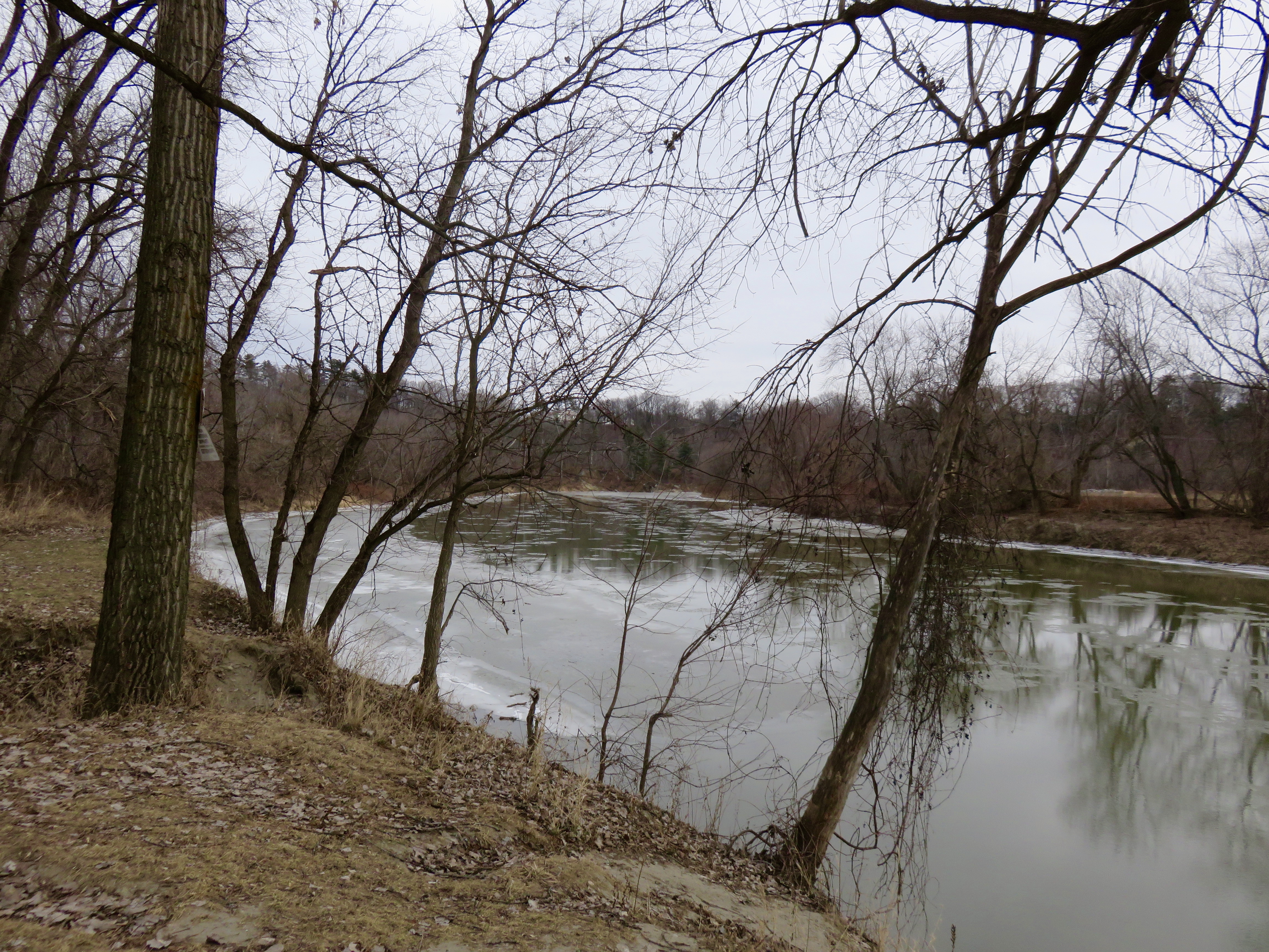
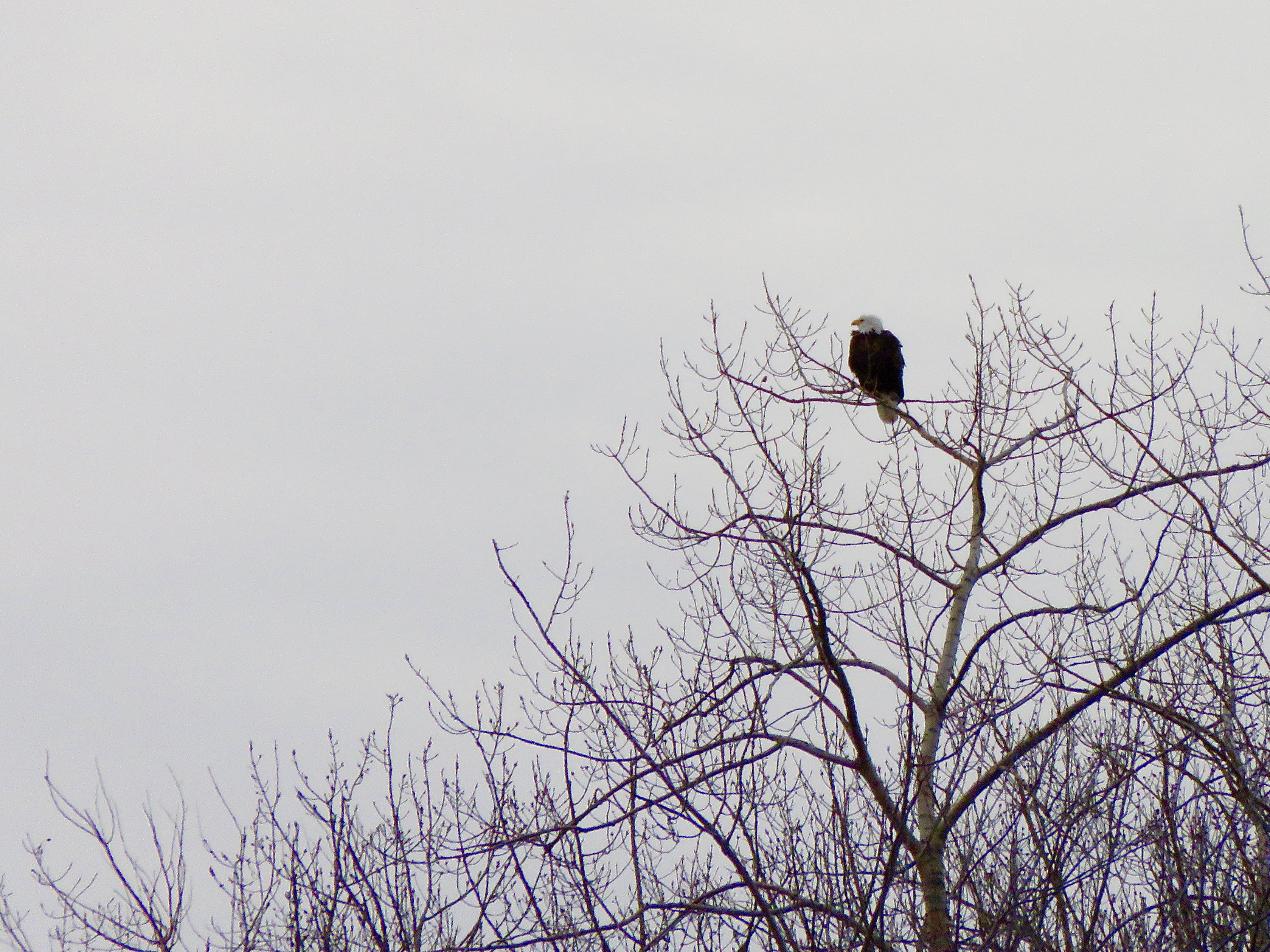
 I recently volunteered for the Midwinter Bald Eagle Survey. The target date was today so I headed out early to look for our national bird. My route was the Winooski River, from Waterbury to Lake Champlain. This is a pretty long route and it meant lots of planning to figure out which spots I could stop along to river to try to find eagles. I ended up stopping at 14 points along the river. I saw no eagles. I did, however, get to see a lot of the river.
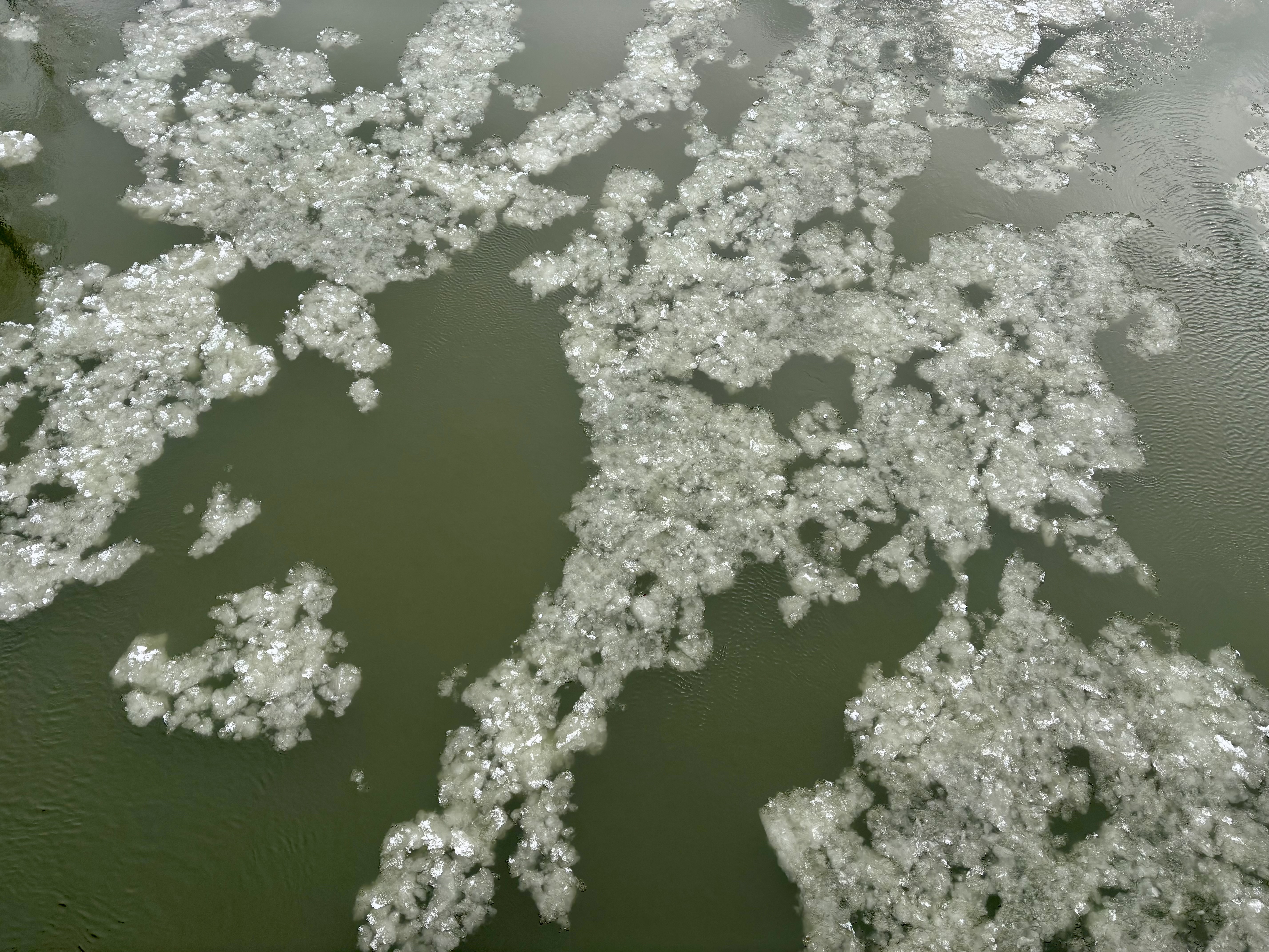
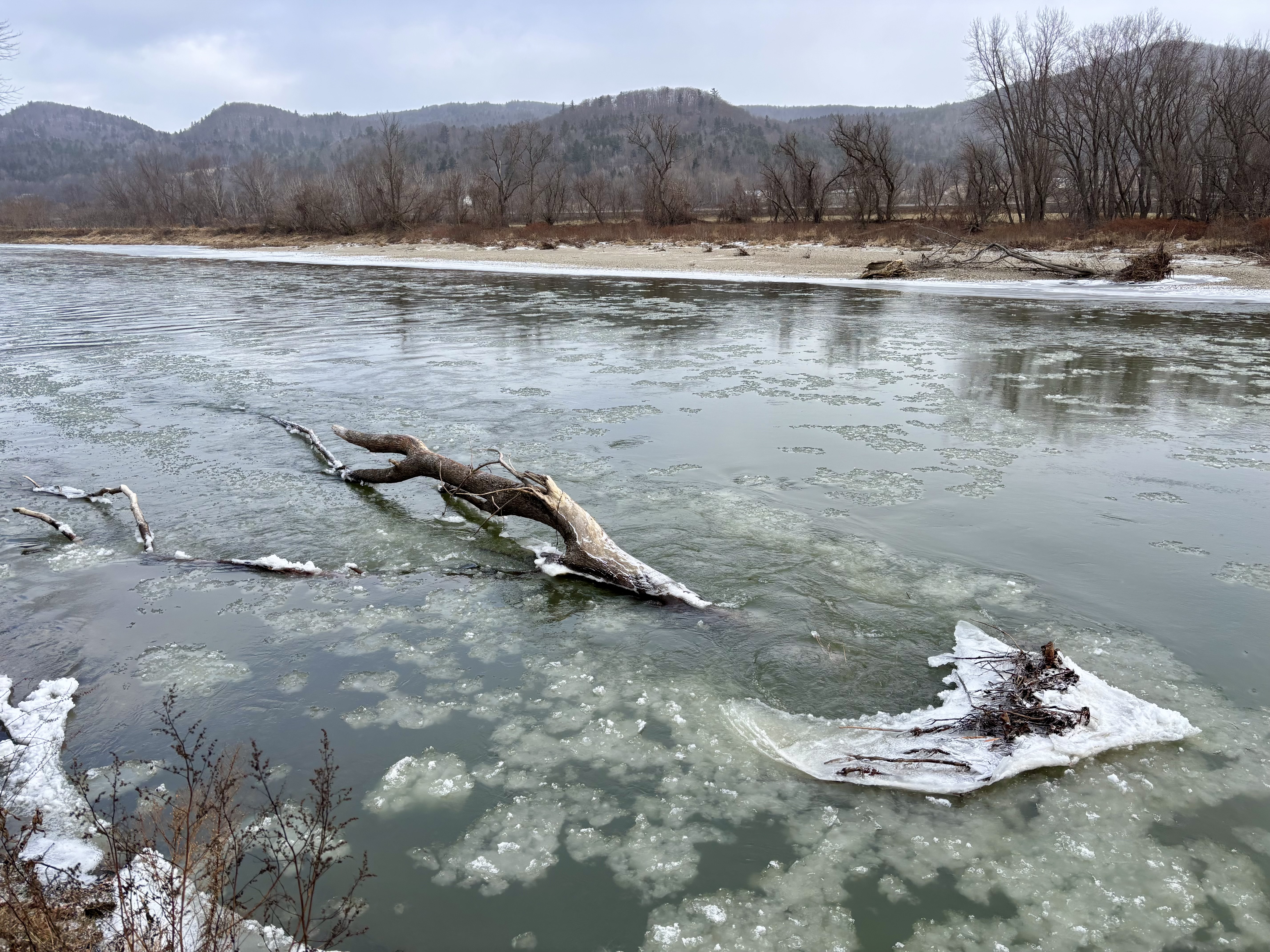
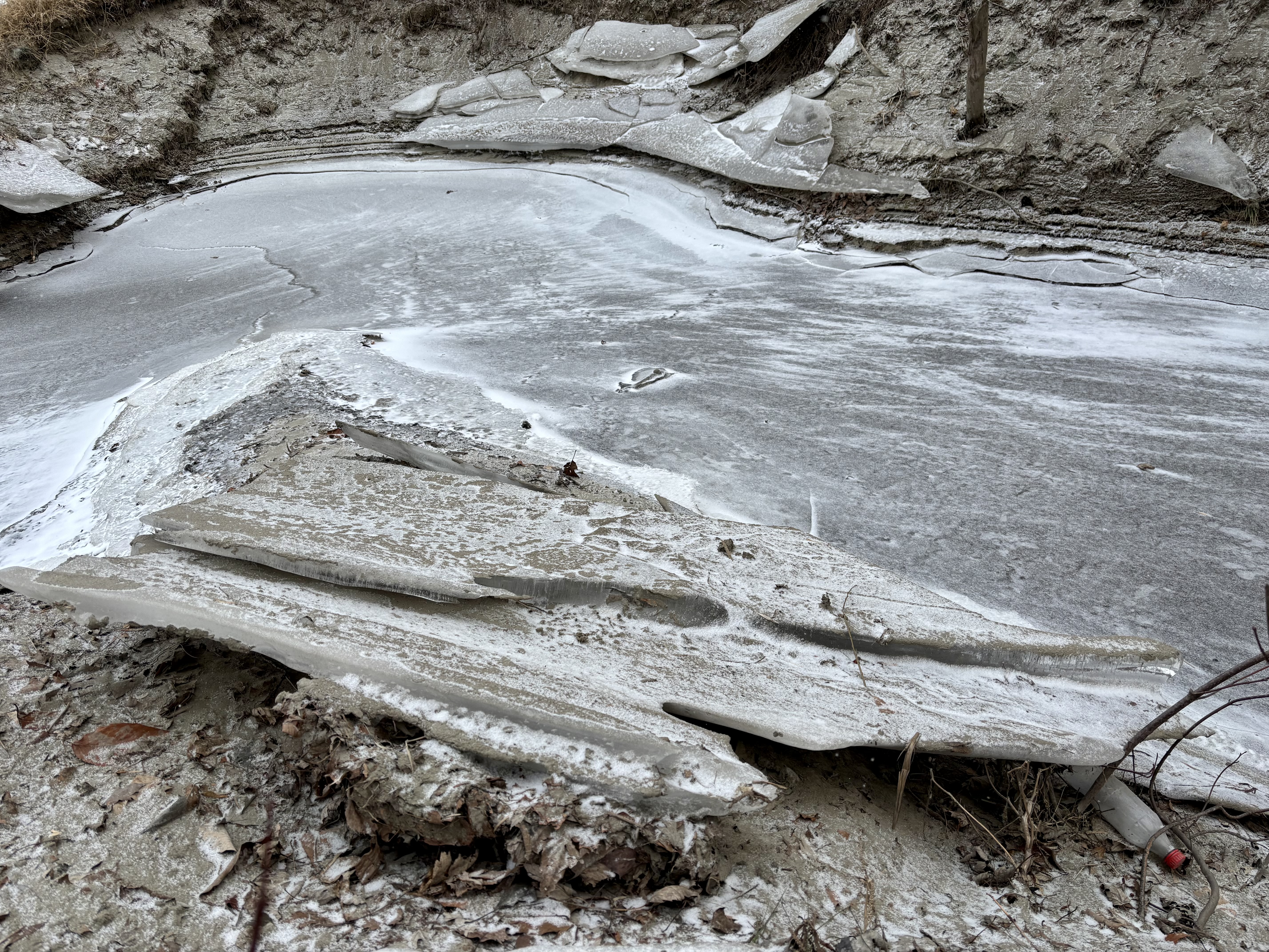
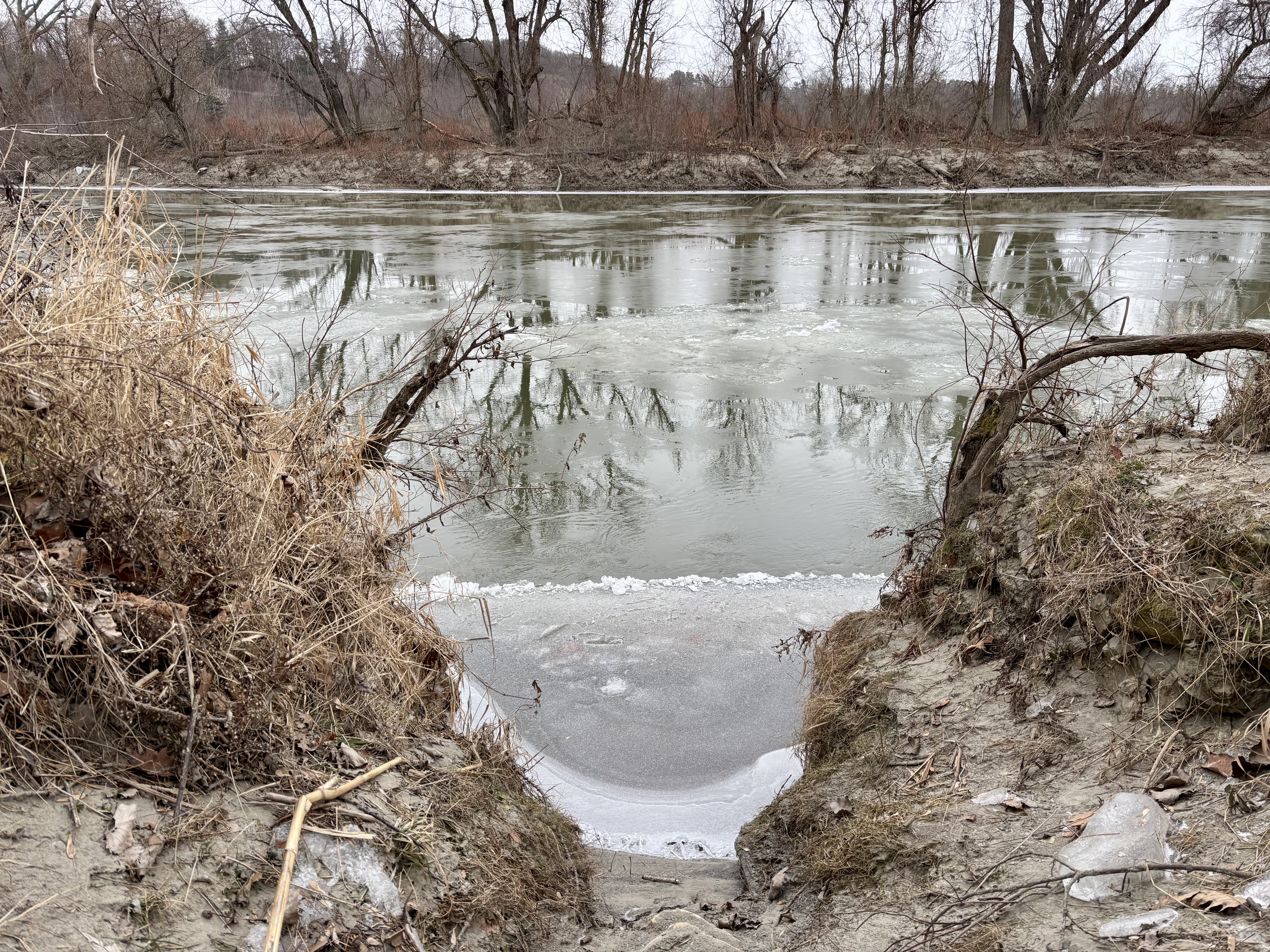
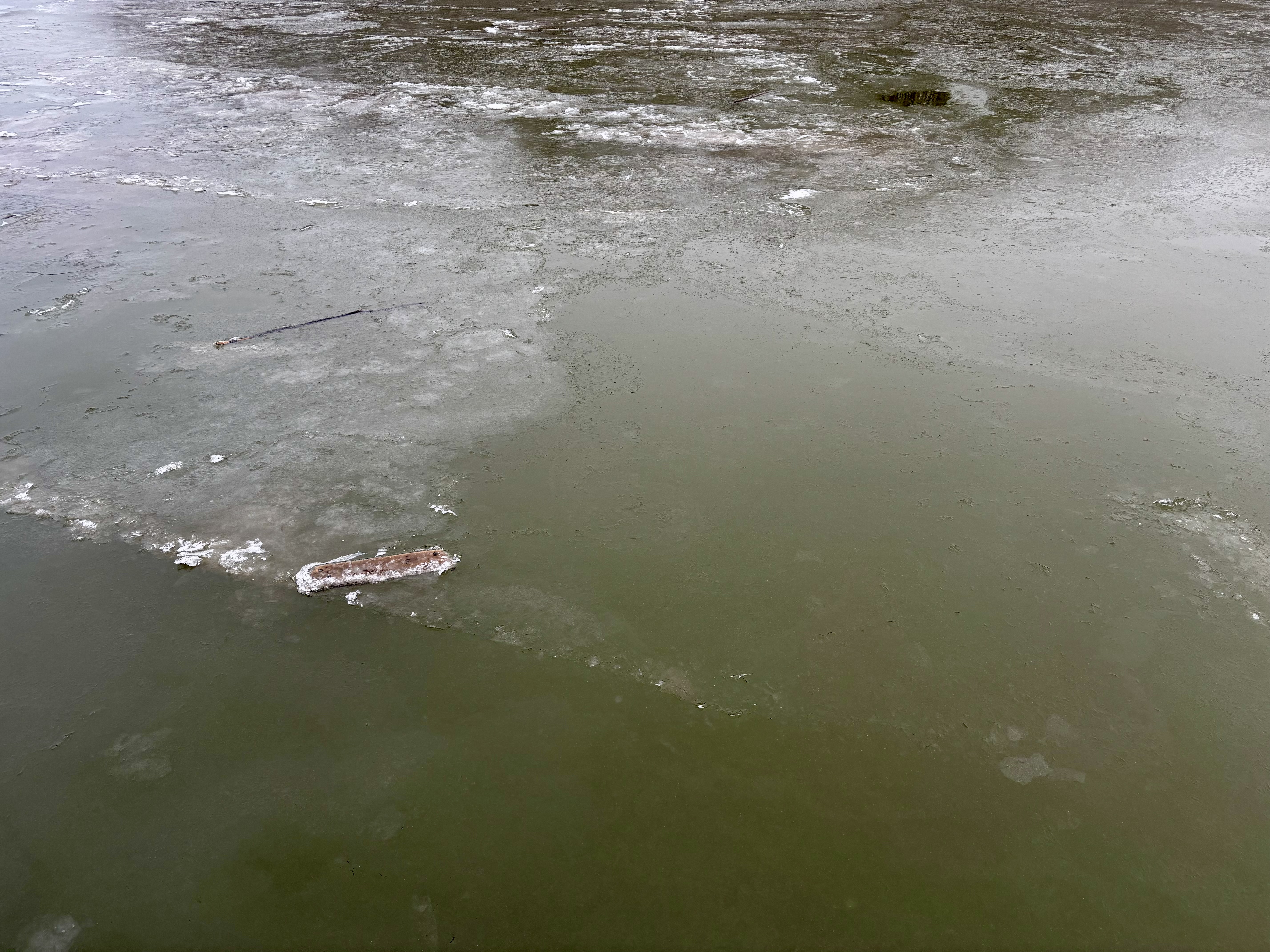
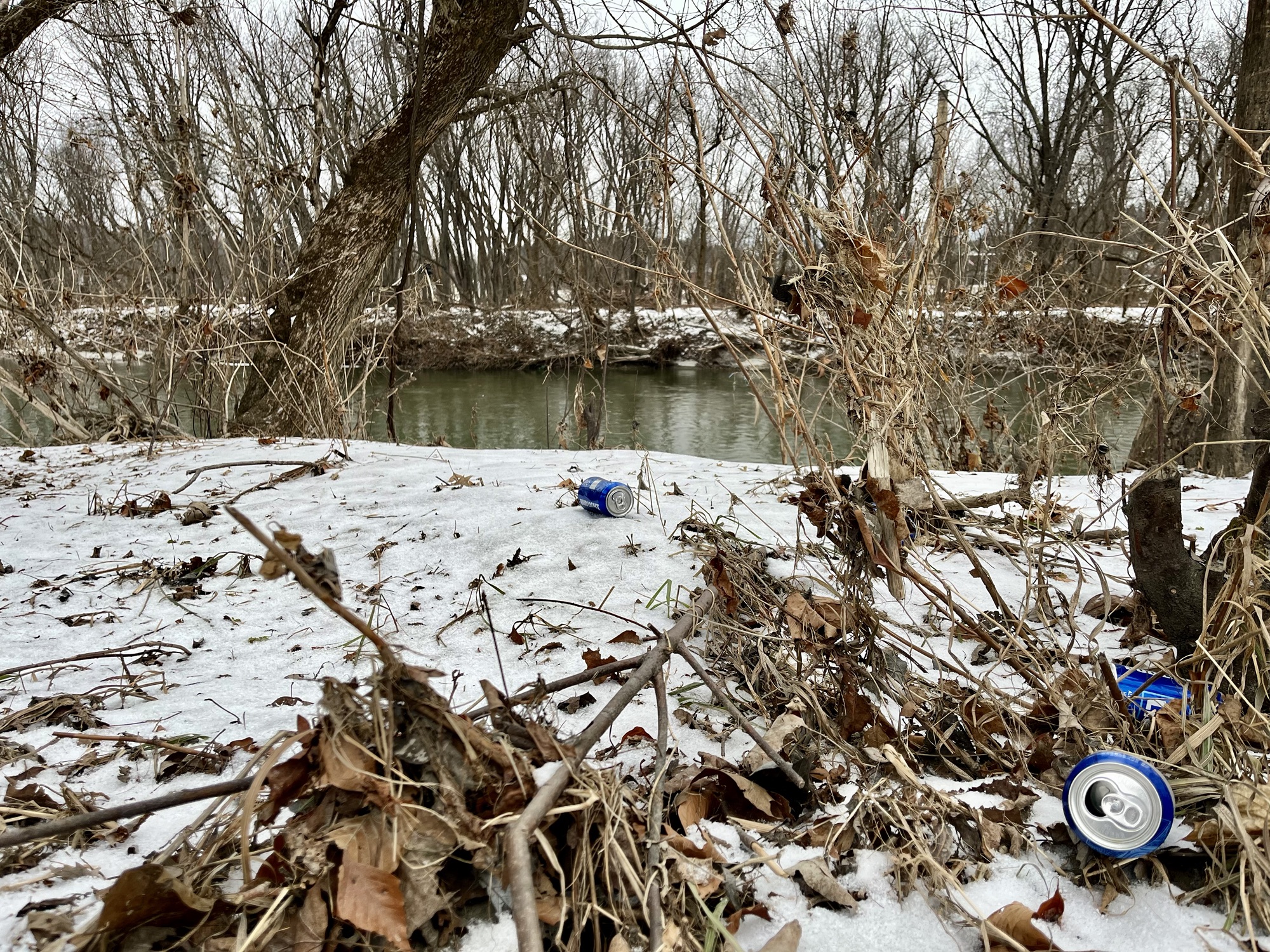
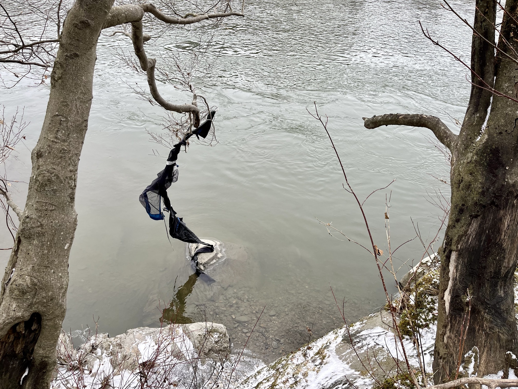
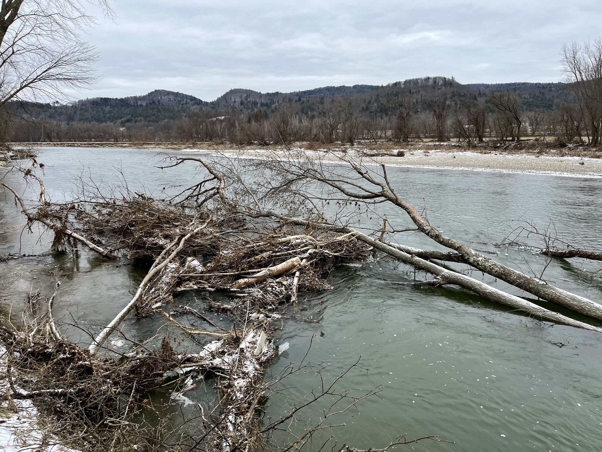
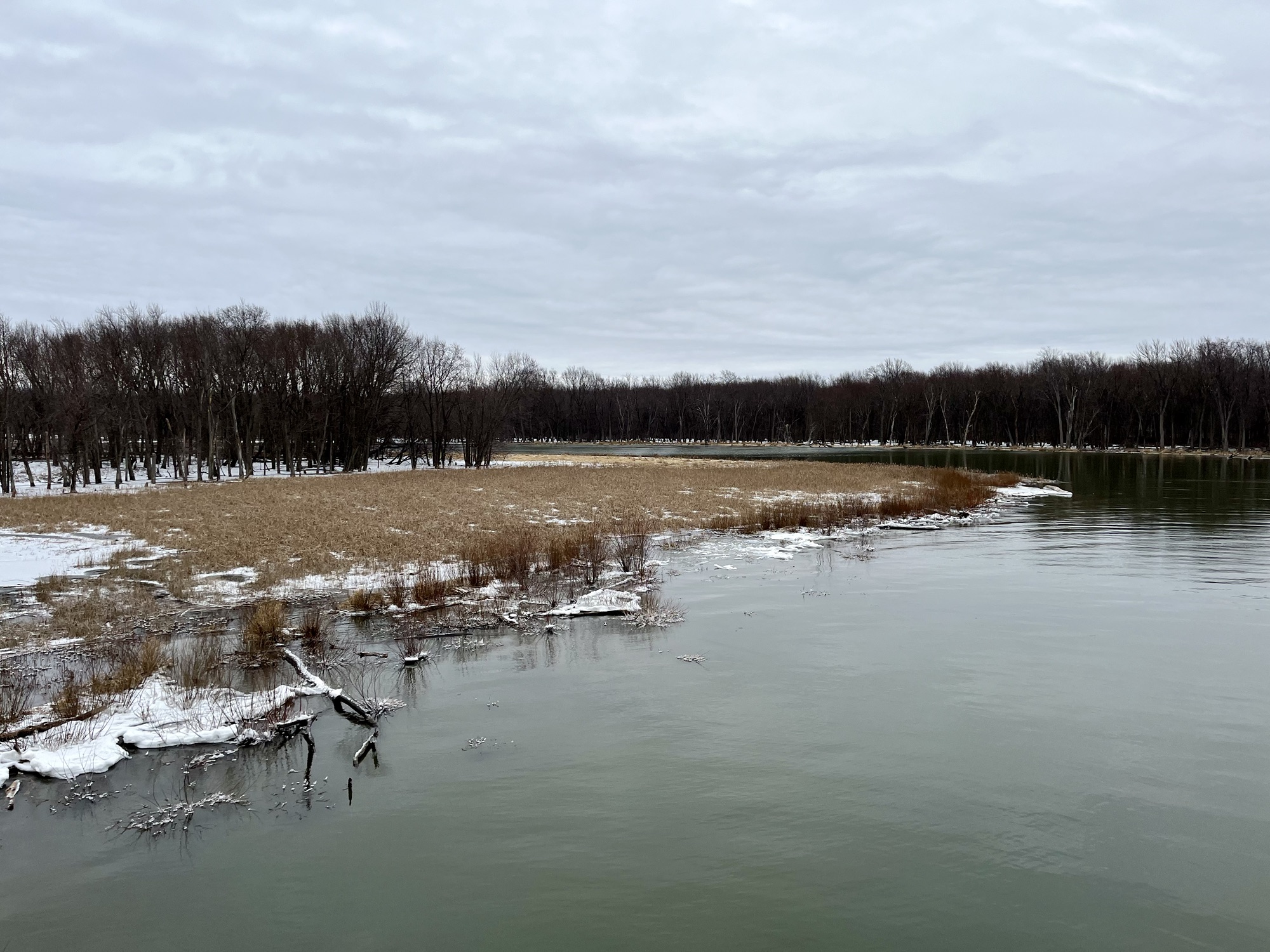
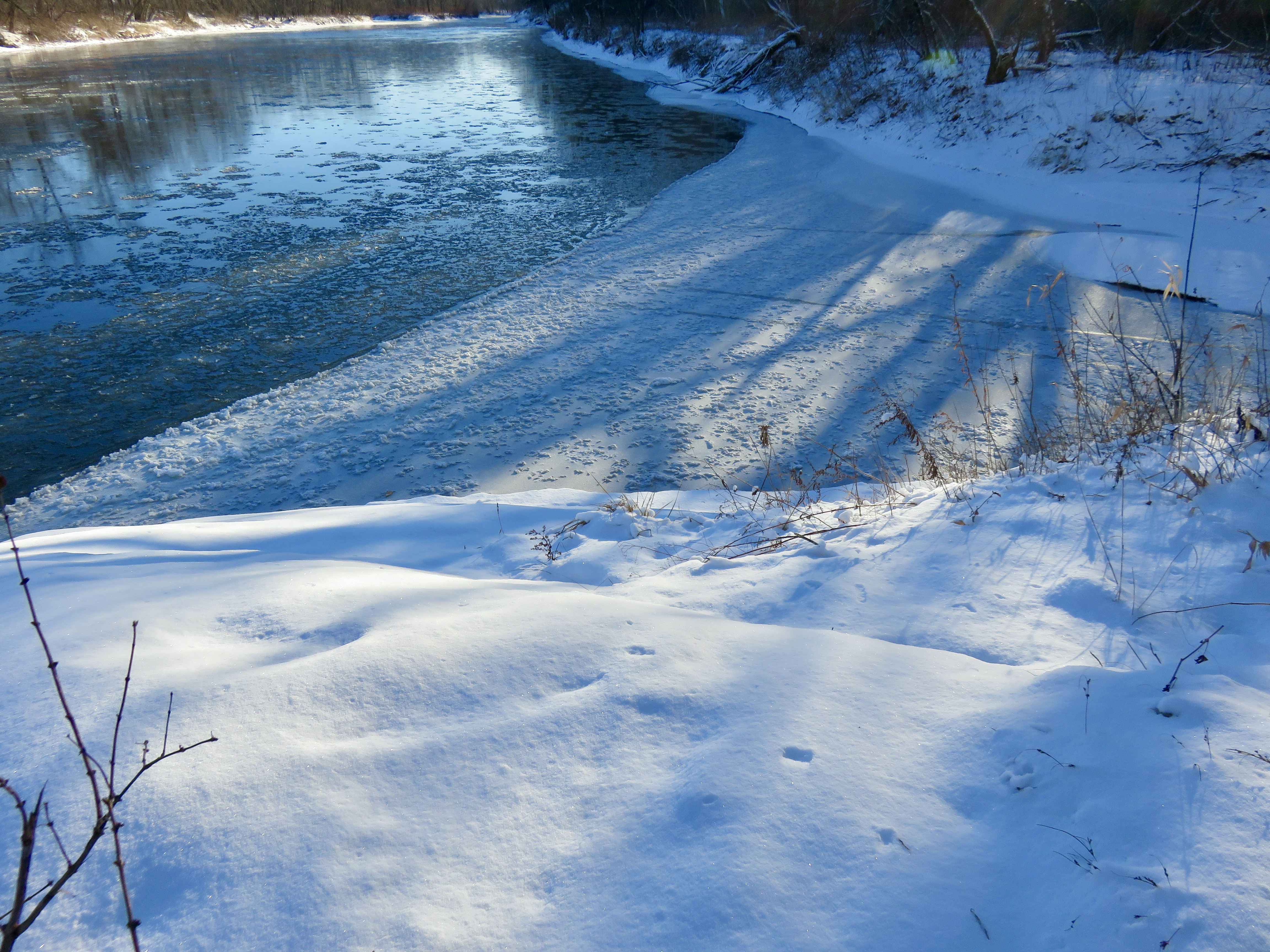
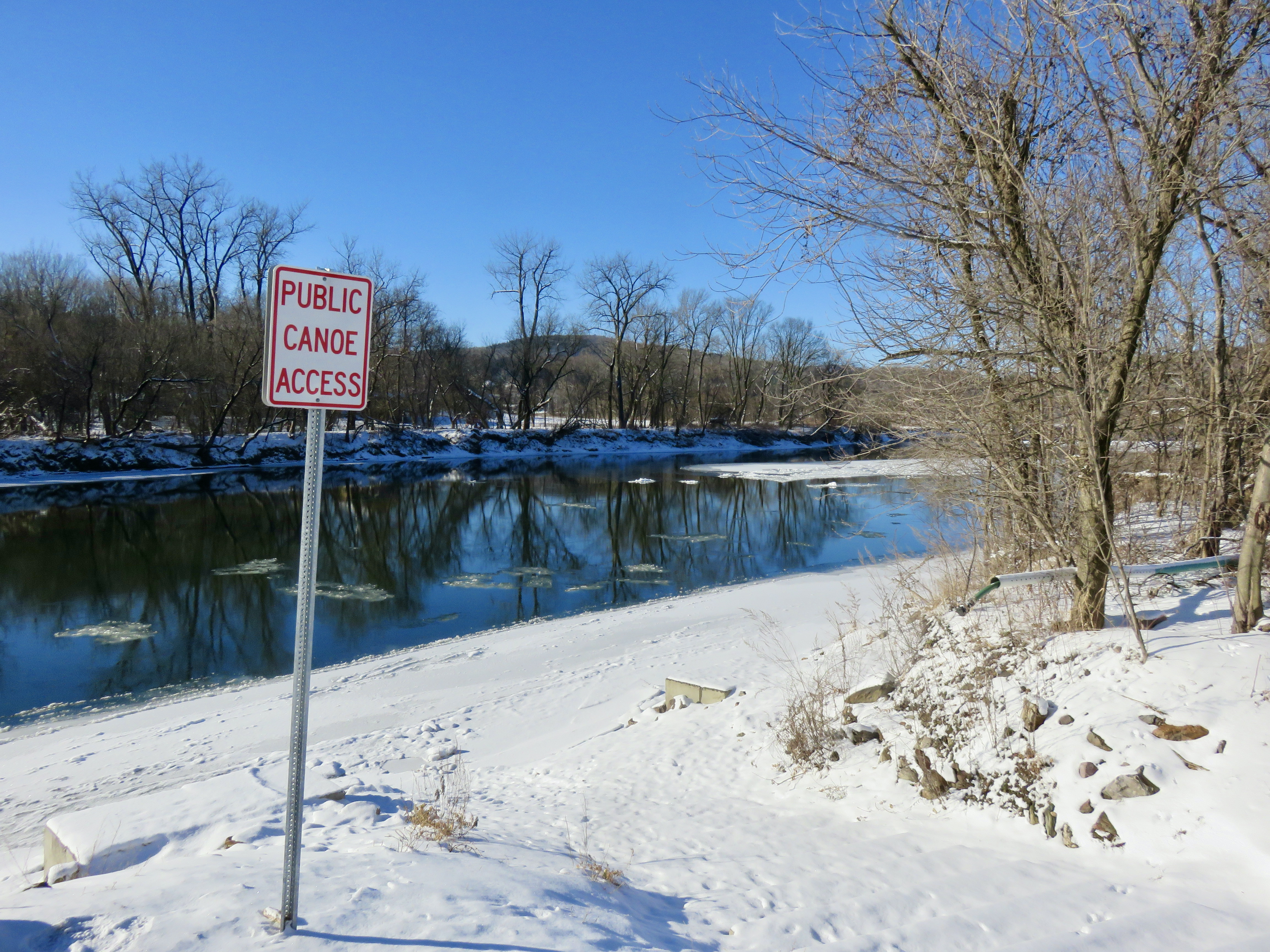
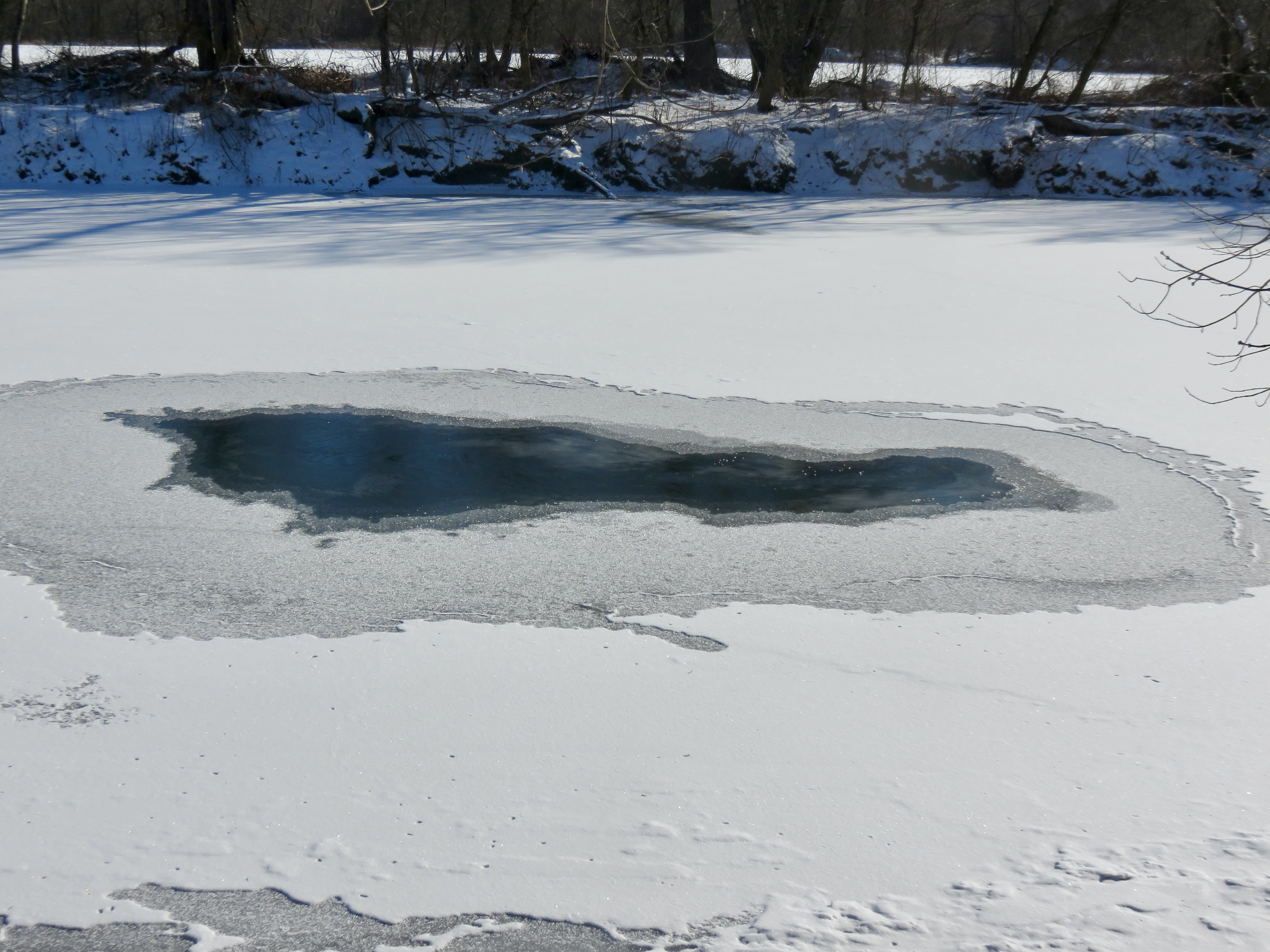
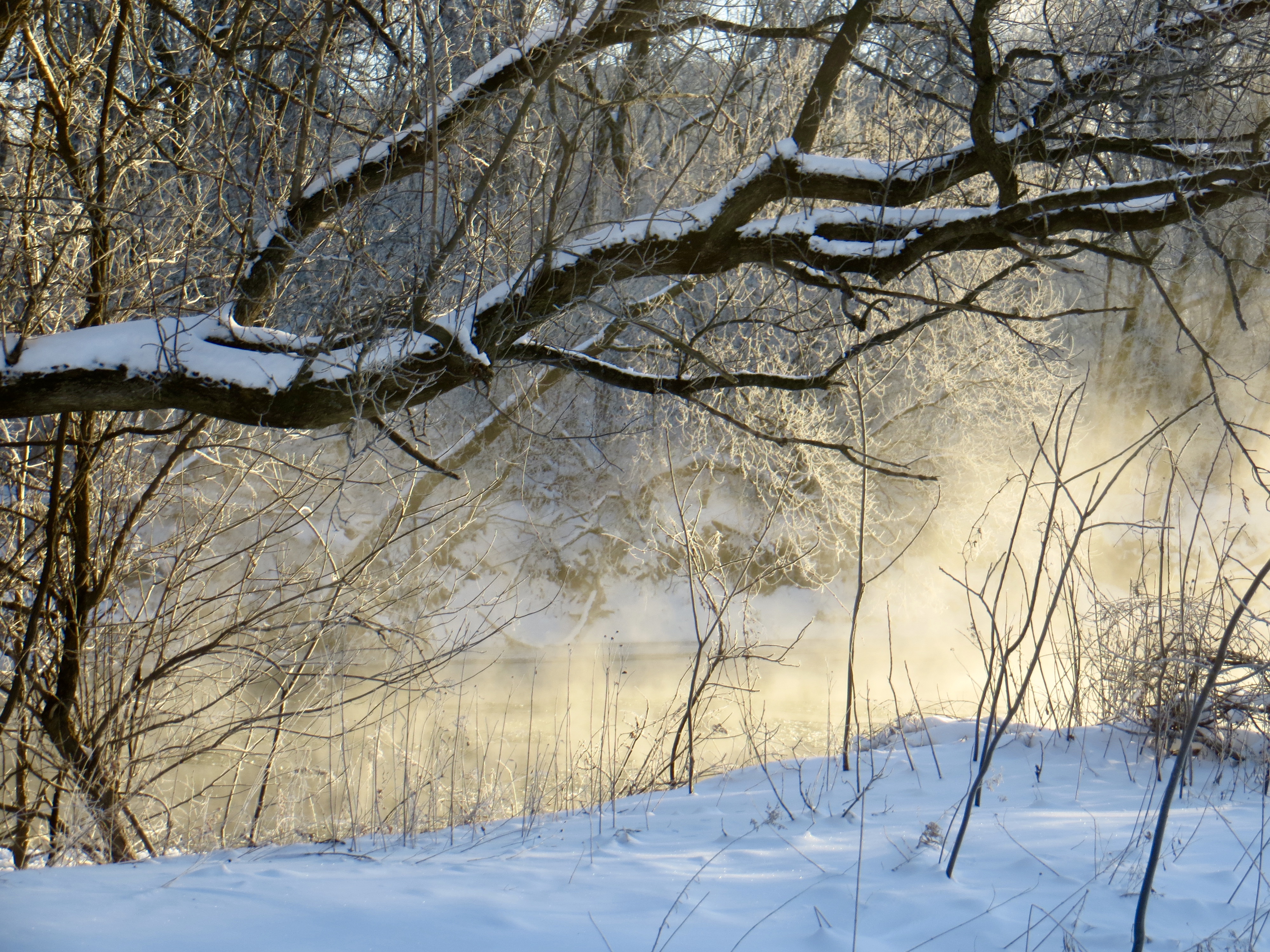
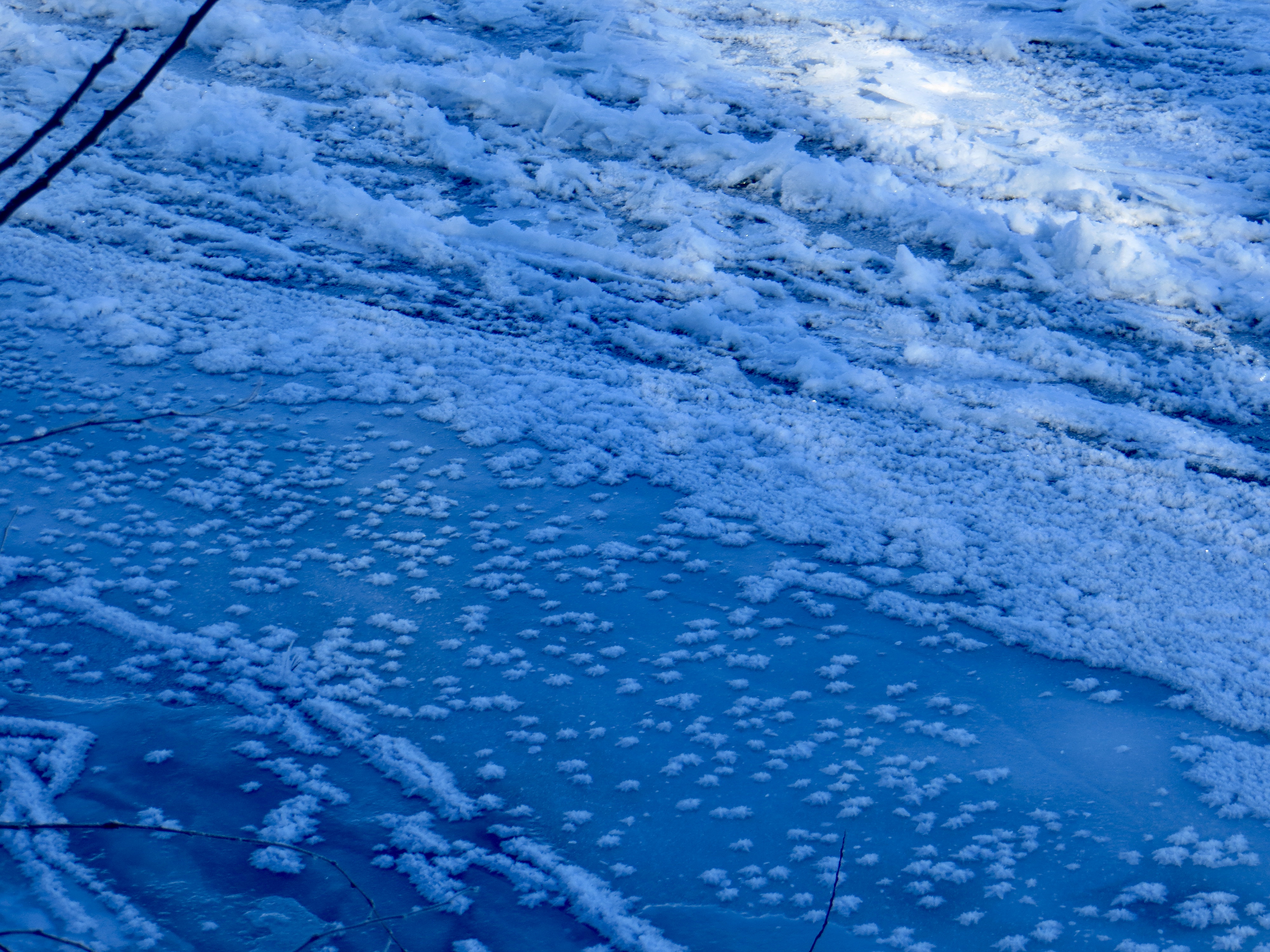
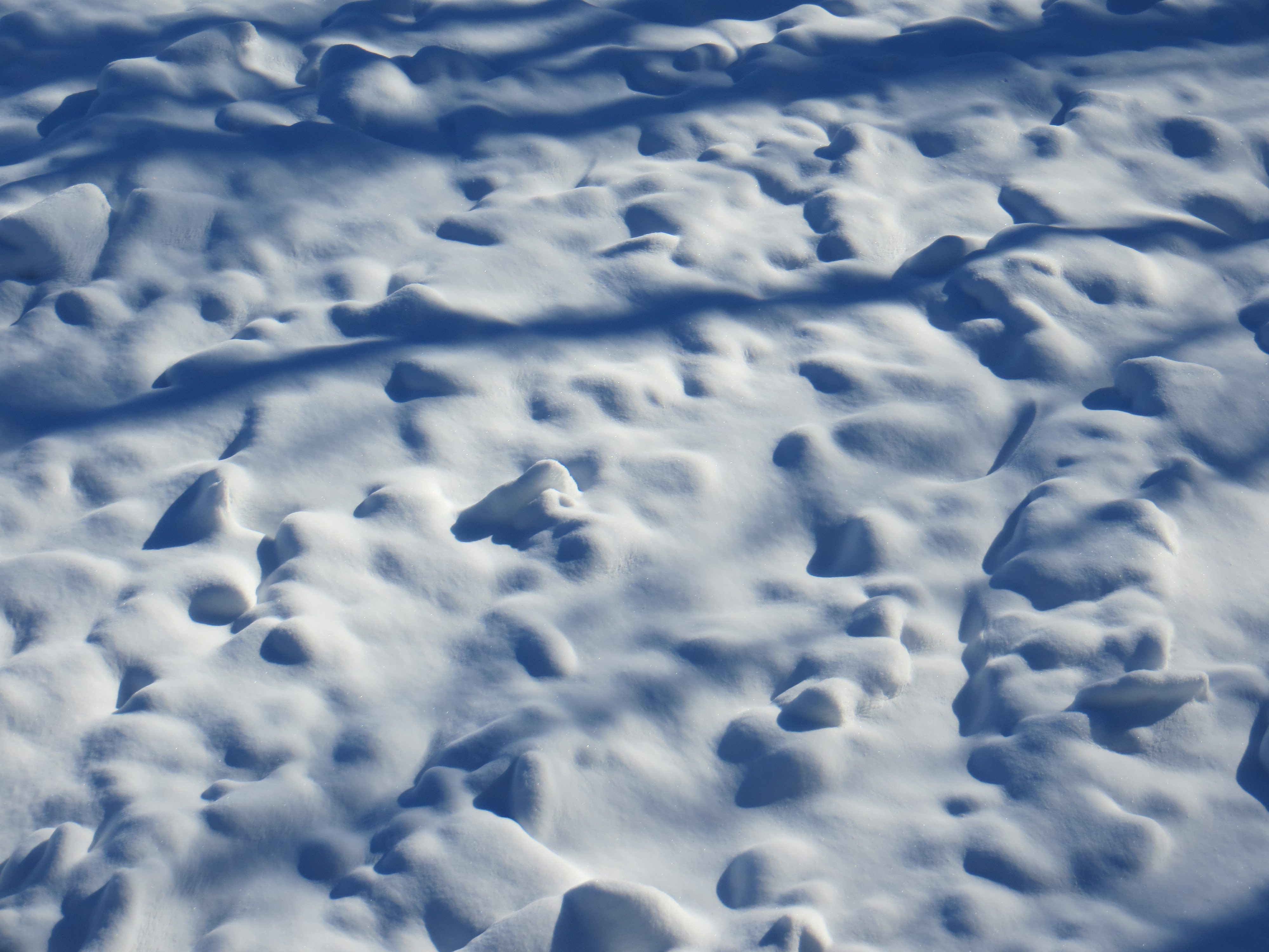
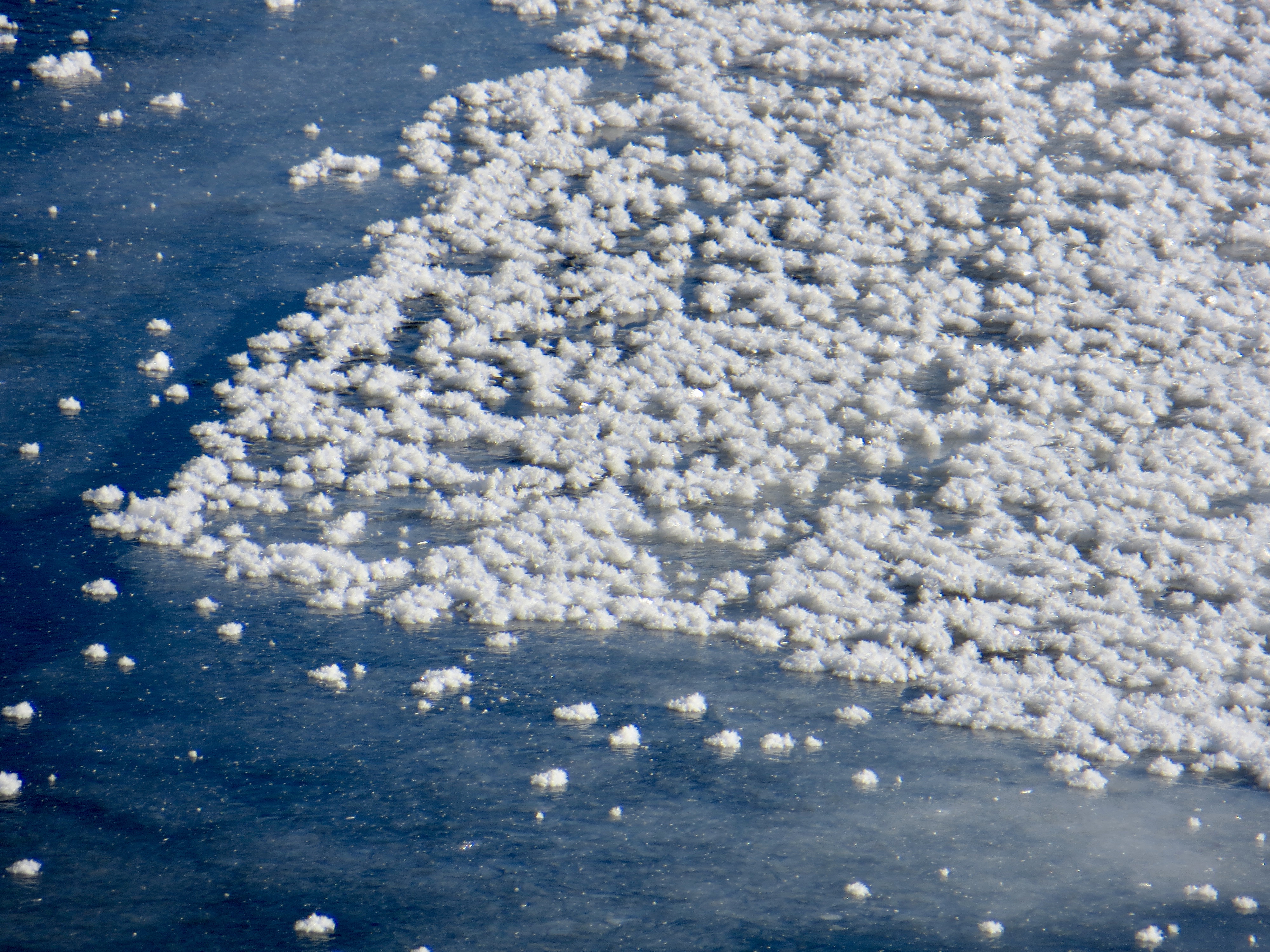
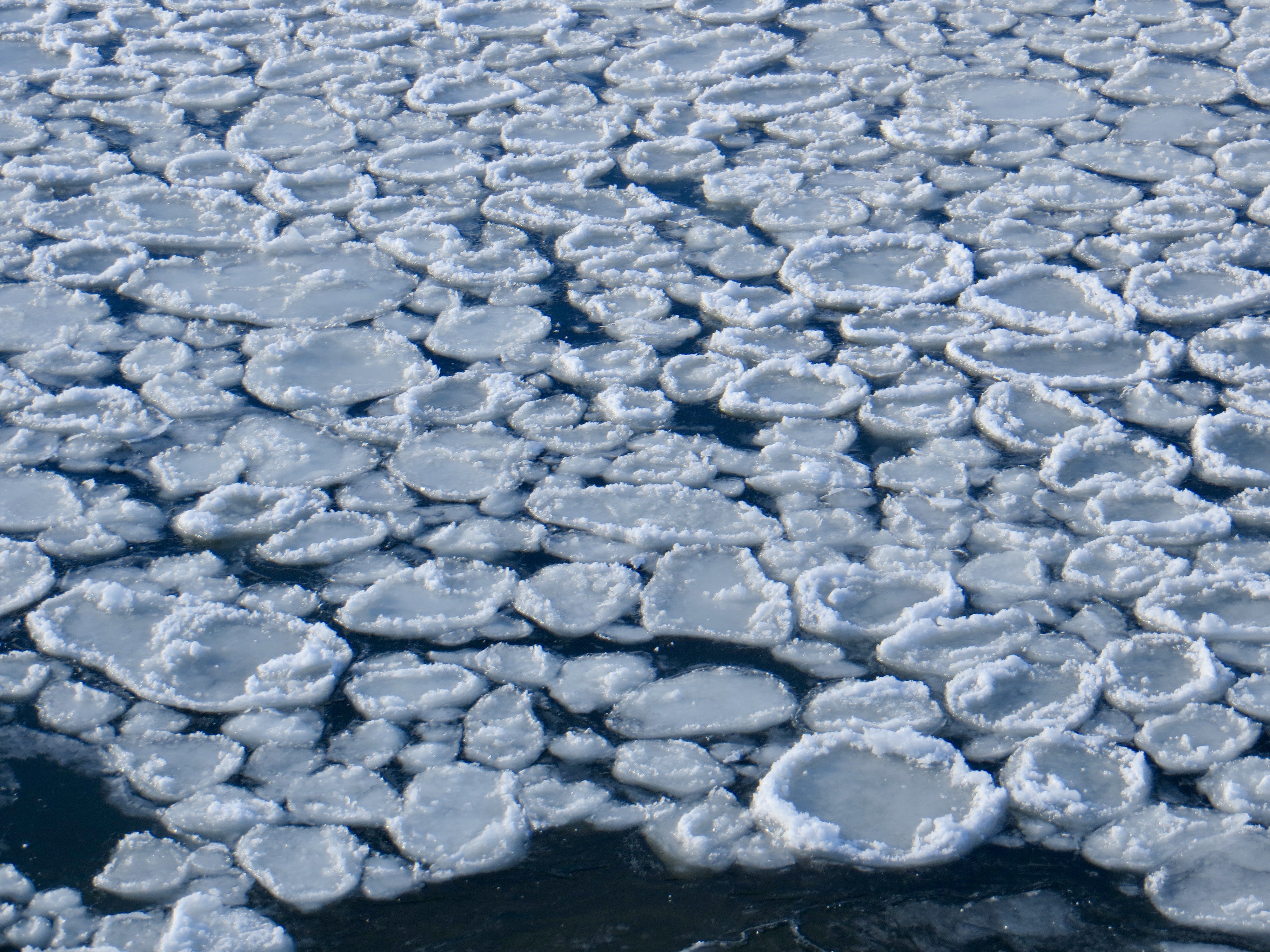
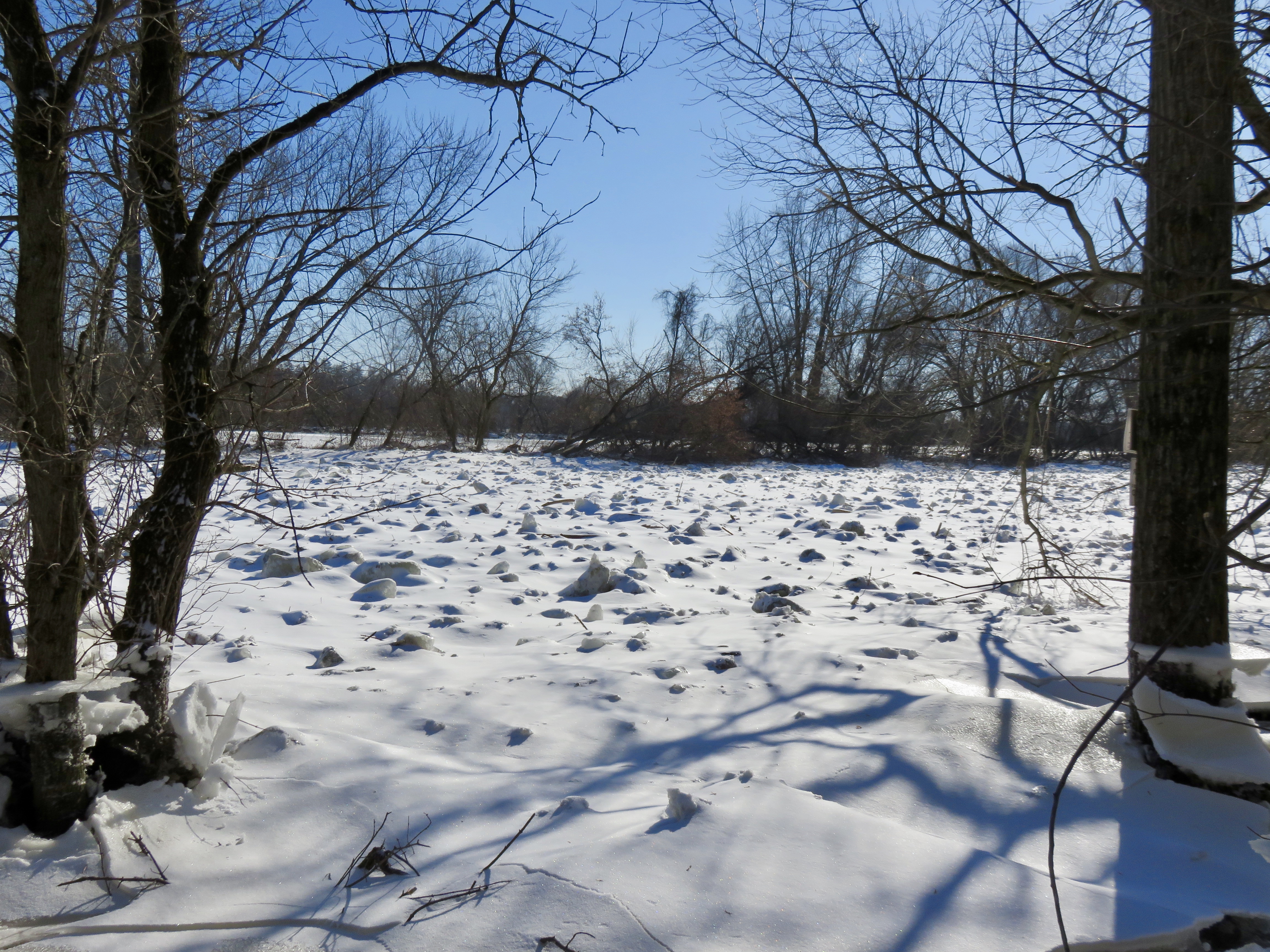
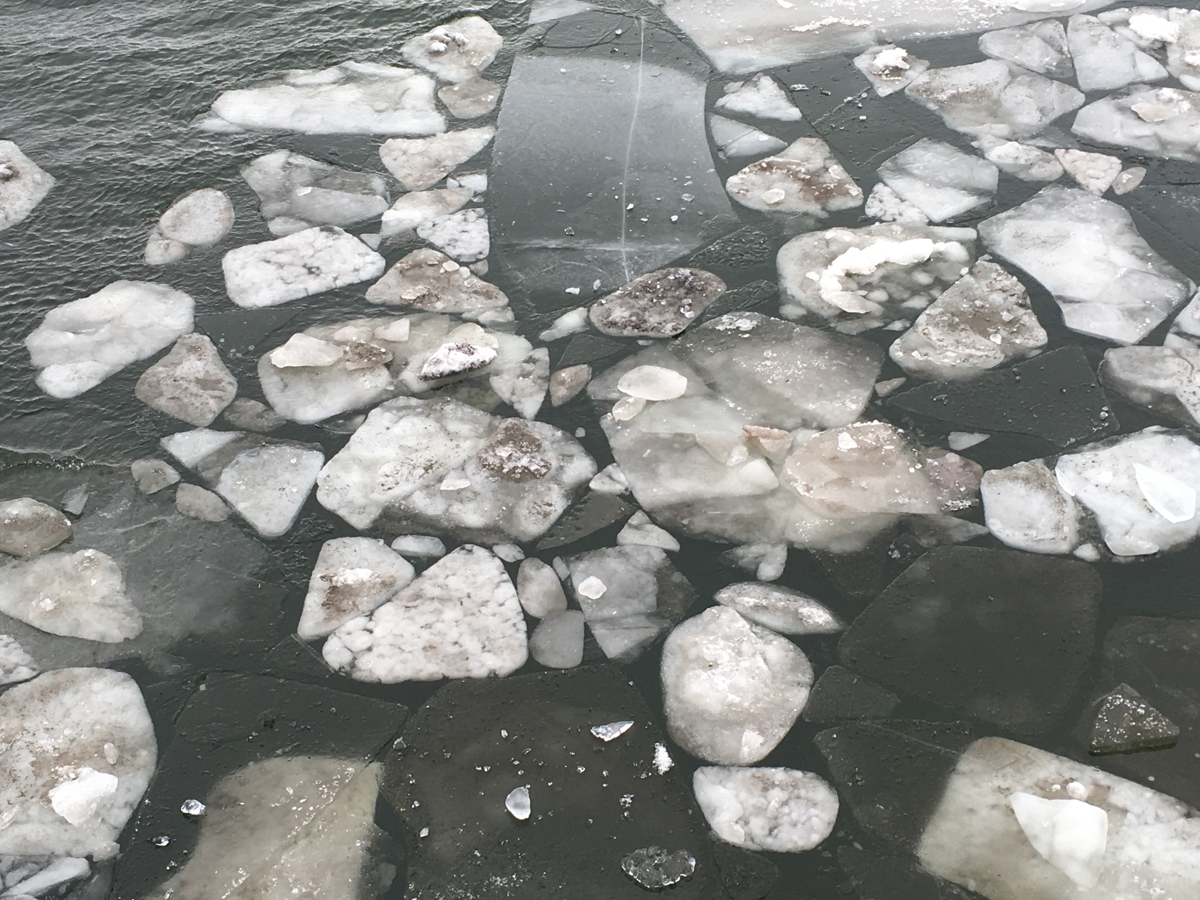
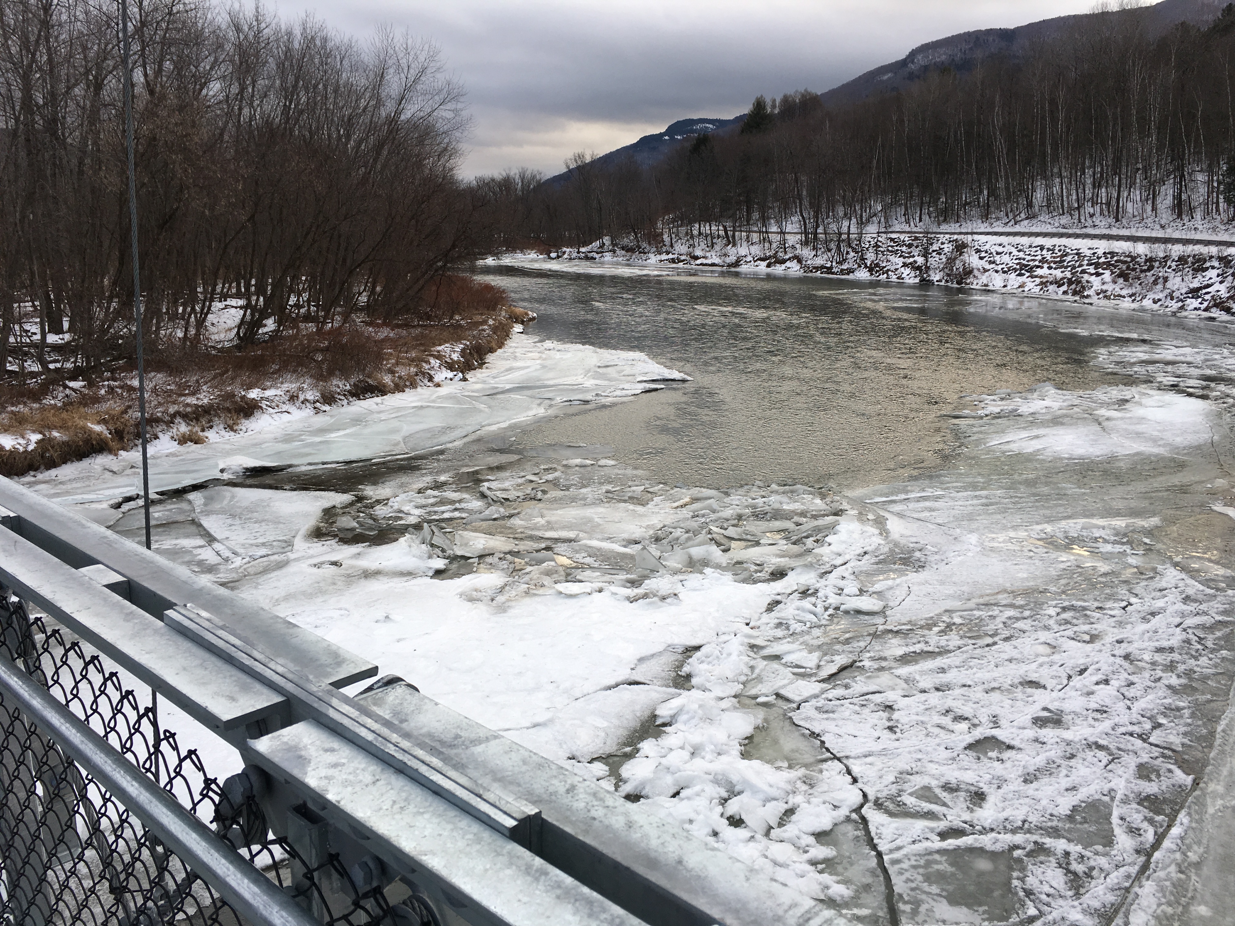
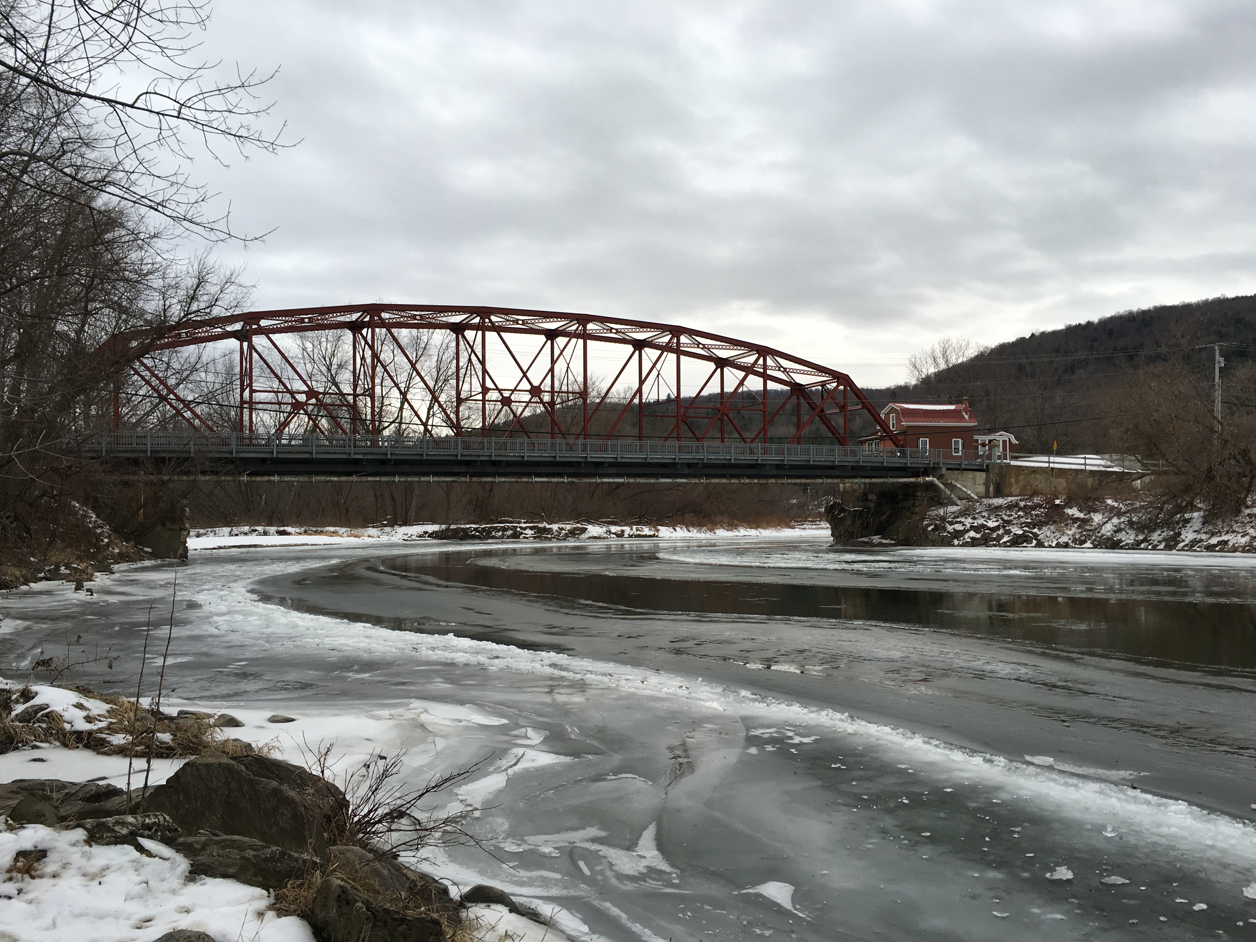
The day was cloudy, just above freezing, with snow showers and rain showers and a mix falling briefly. Following is a January portrait of the Winooski River, or, at least, part of the Winooski River. It was beautiful. I was lucky to get to see so much of it in one day.

Waterbury, from River Road

Waterbury, at Winooski Street Bridge

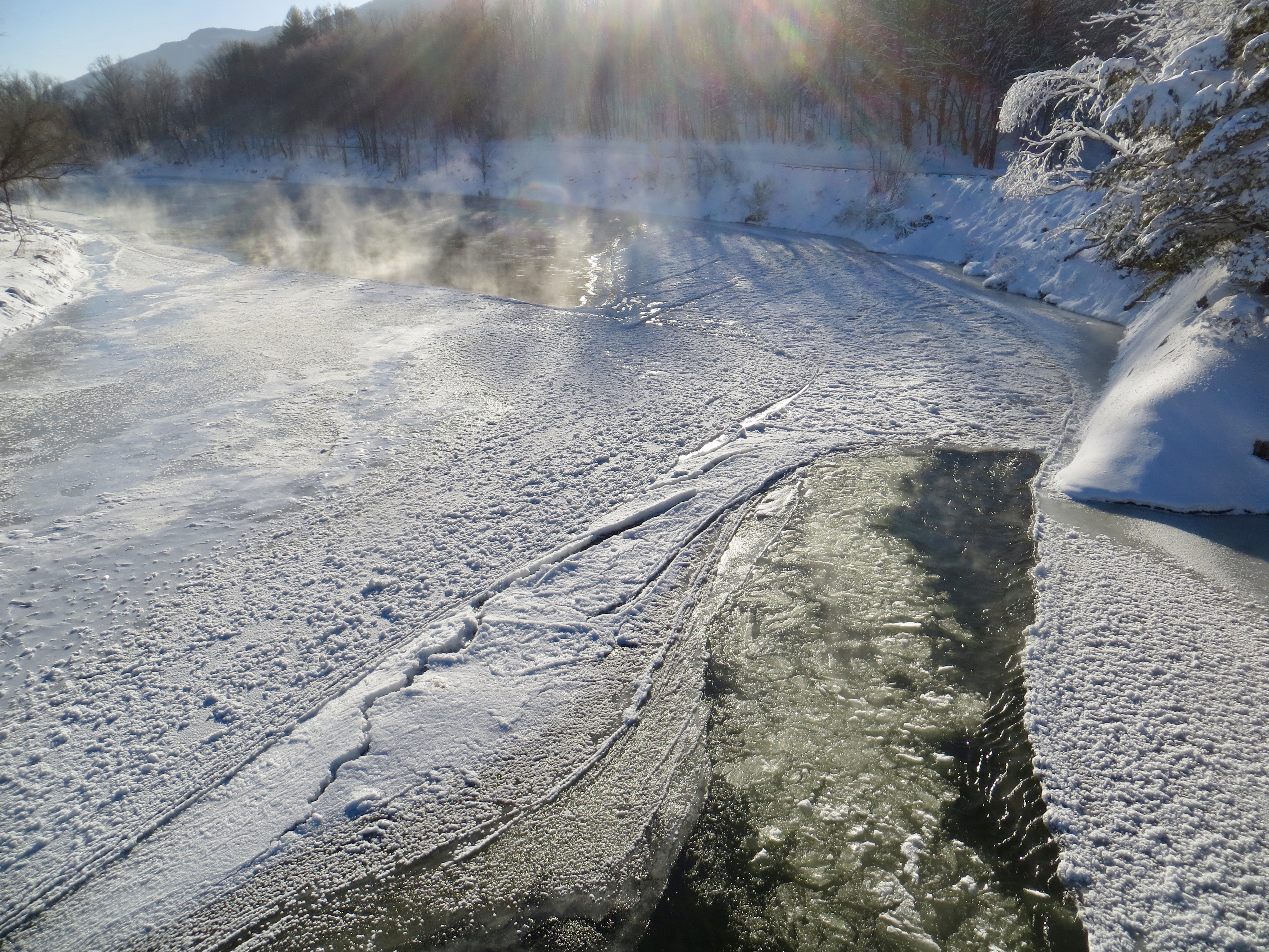
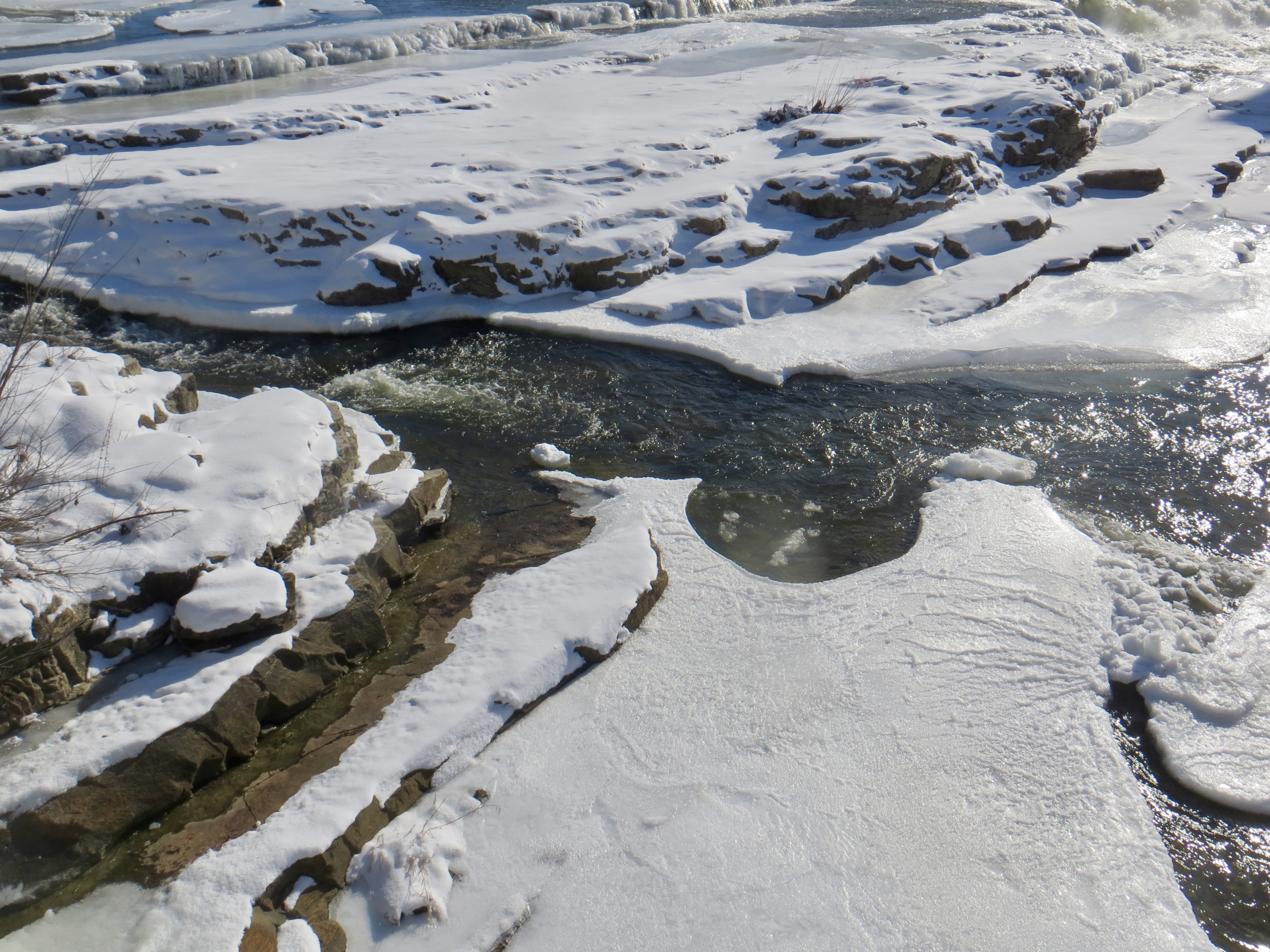
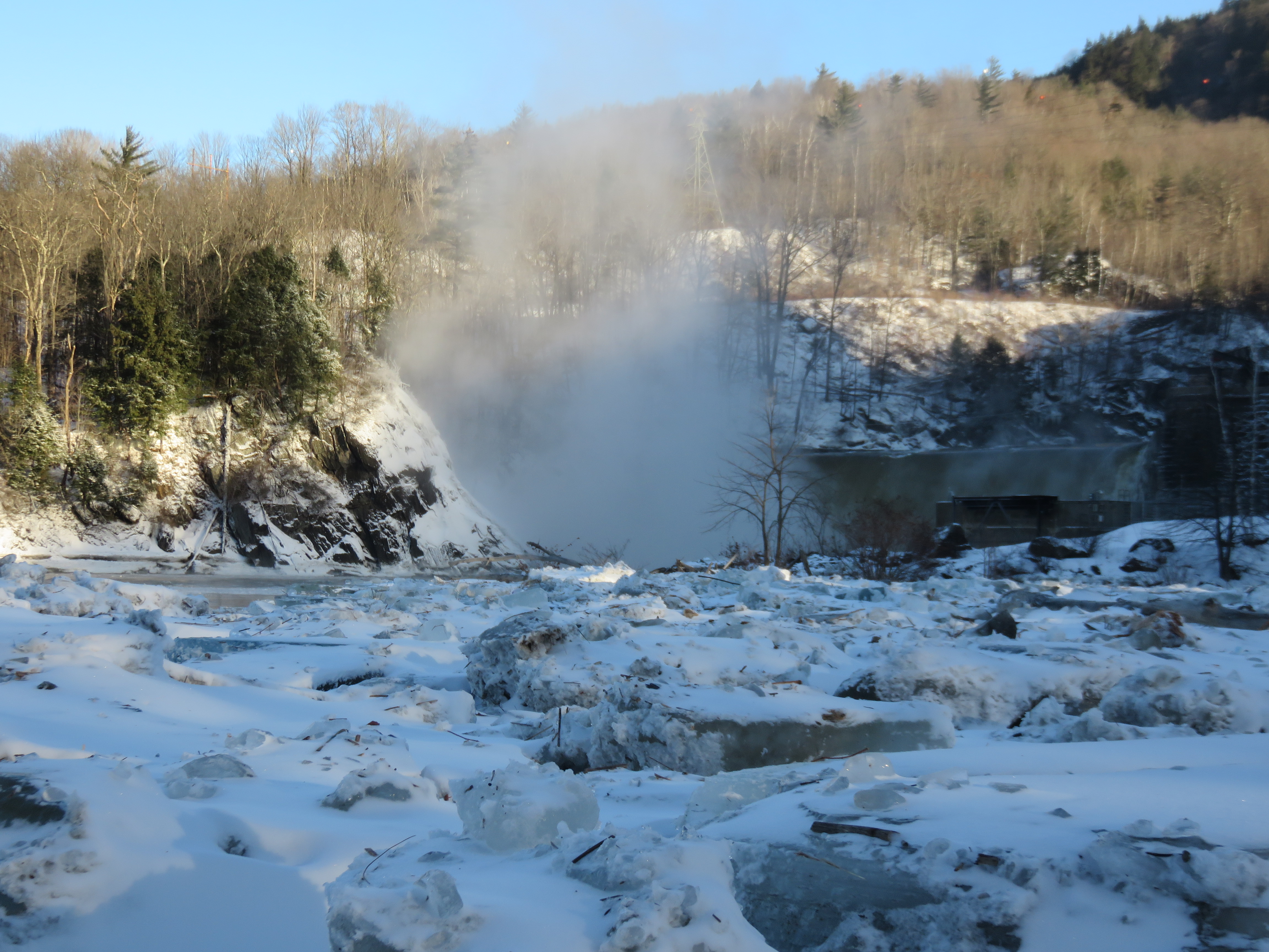
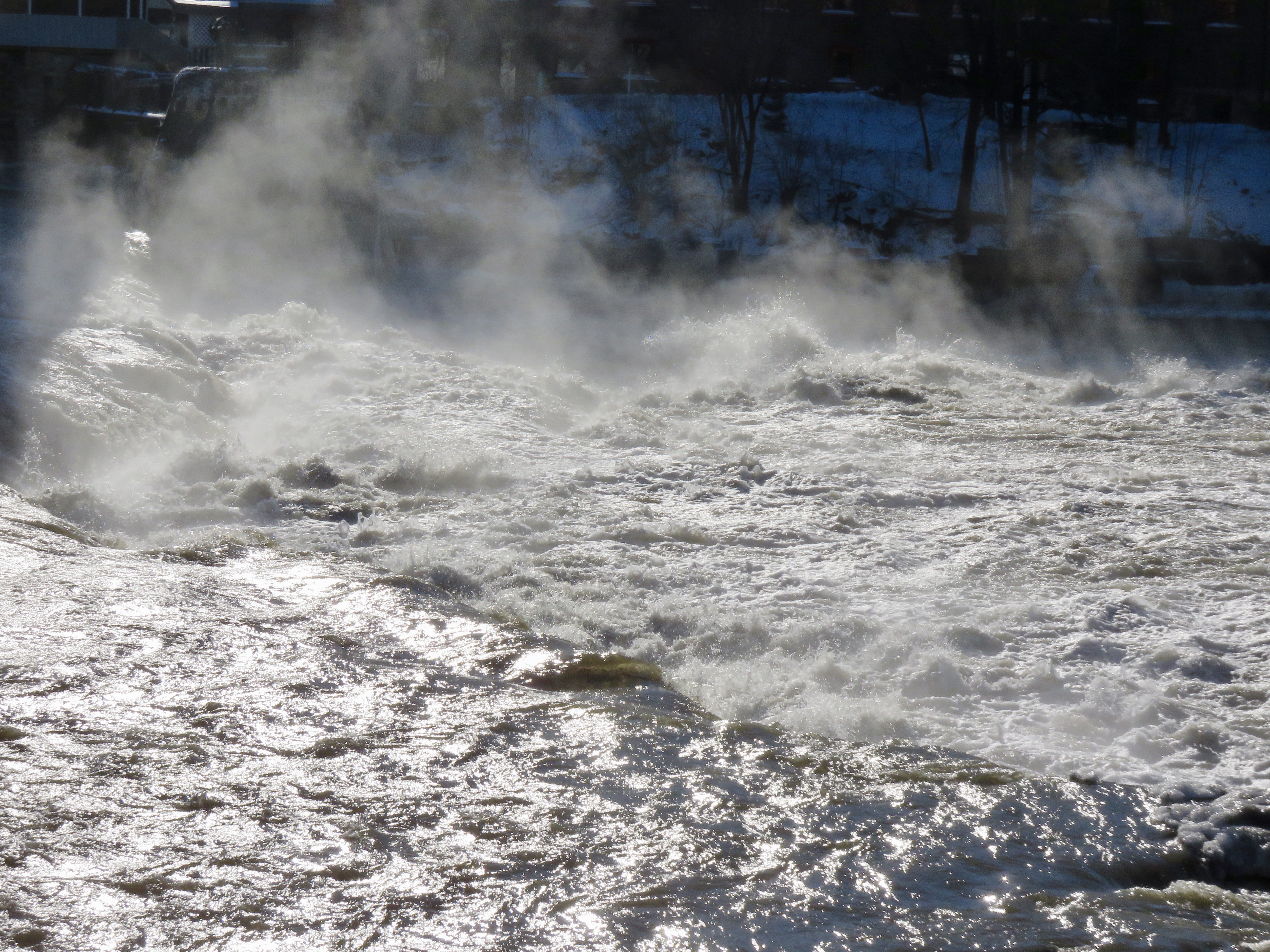
Bolton Dam
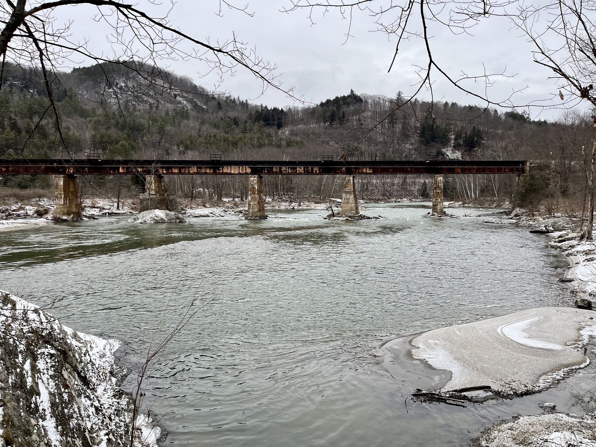
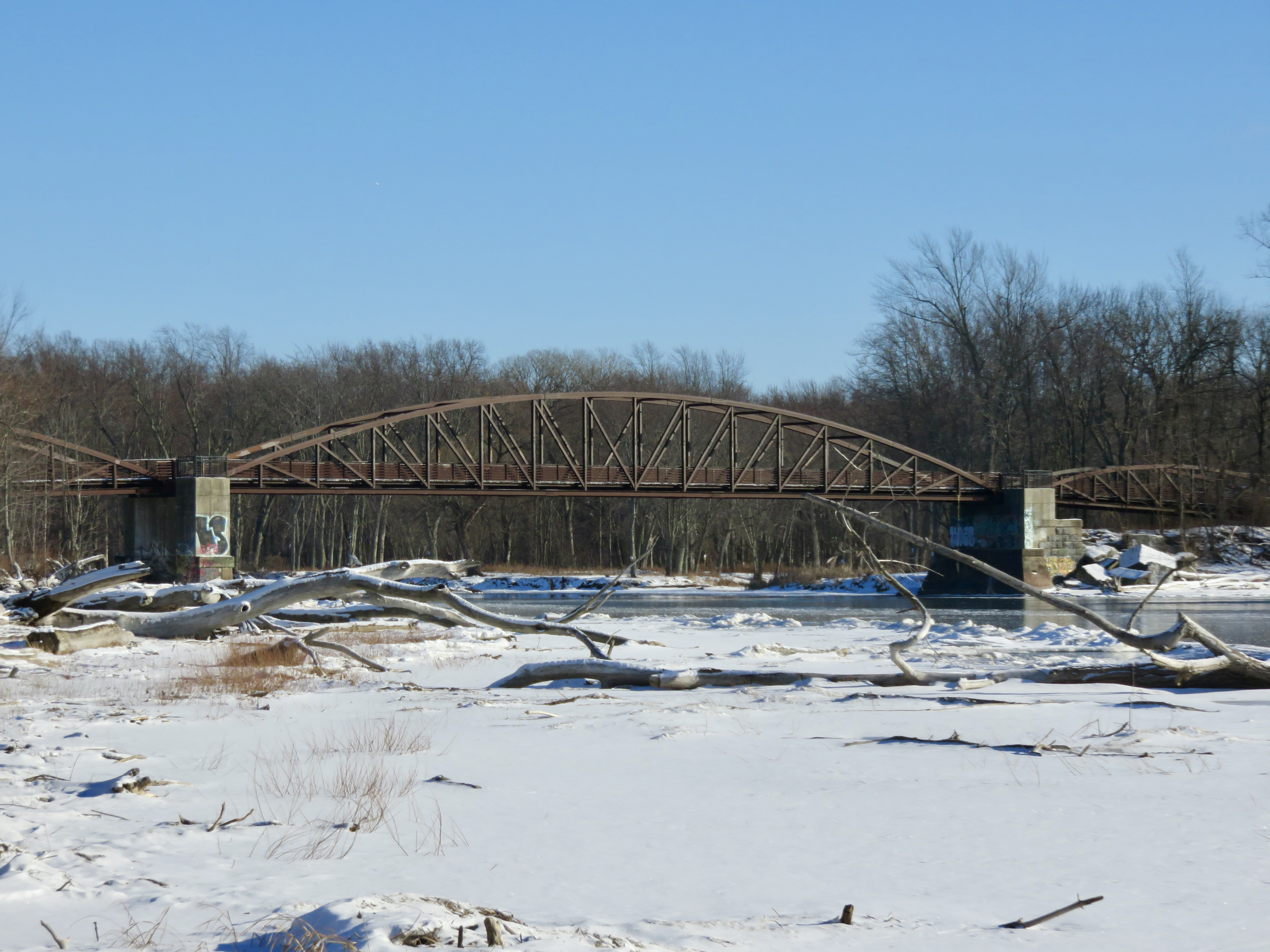
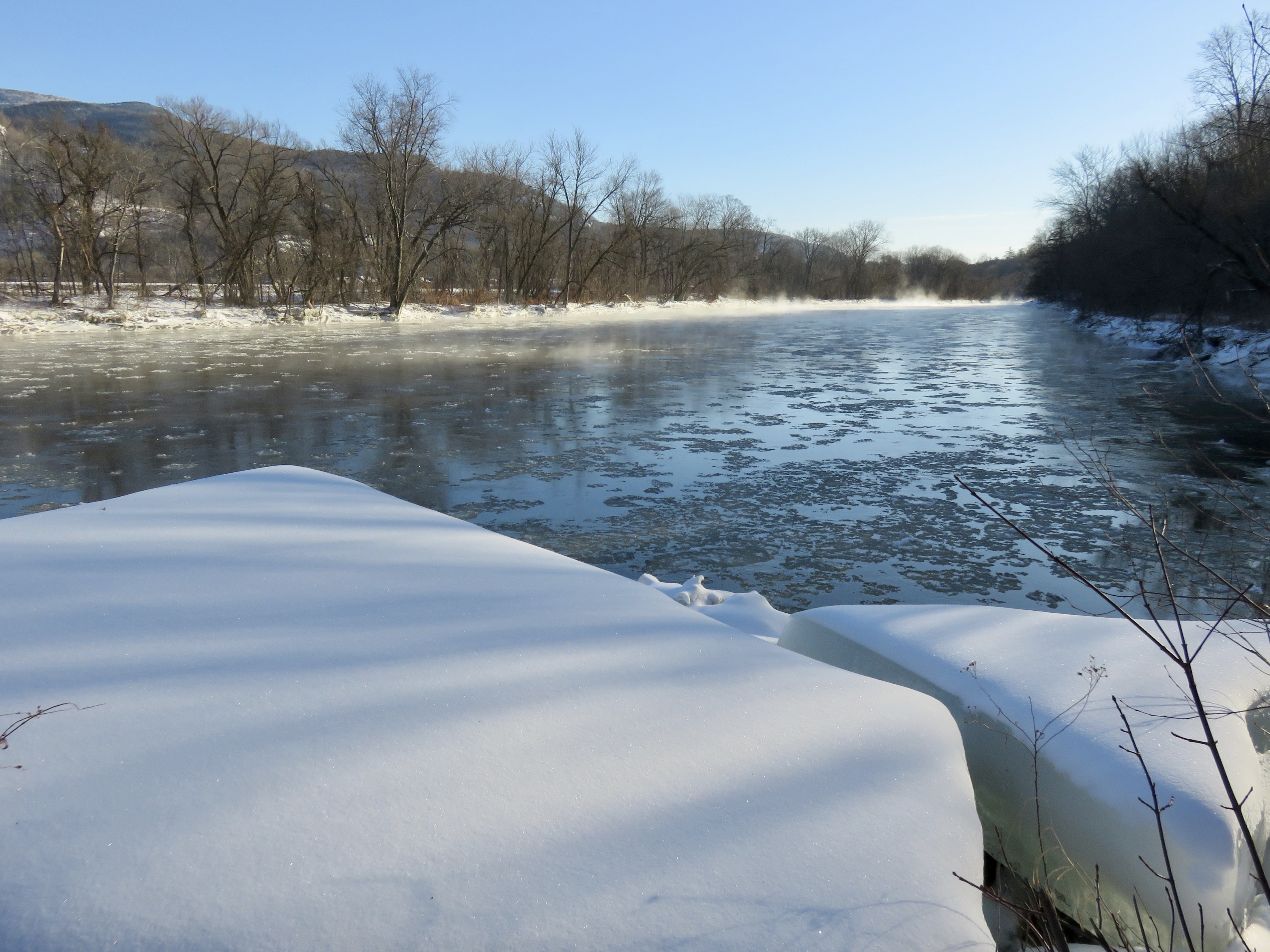
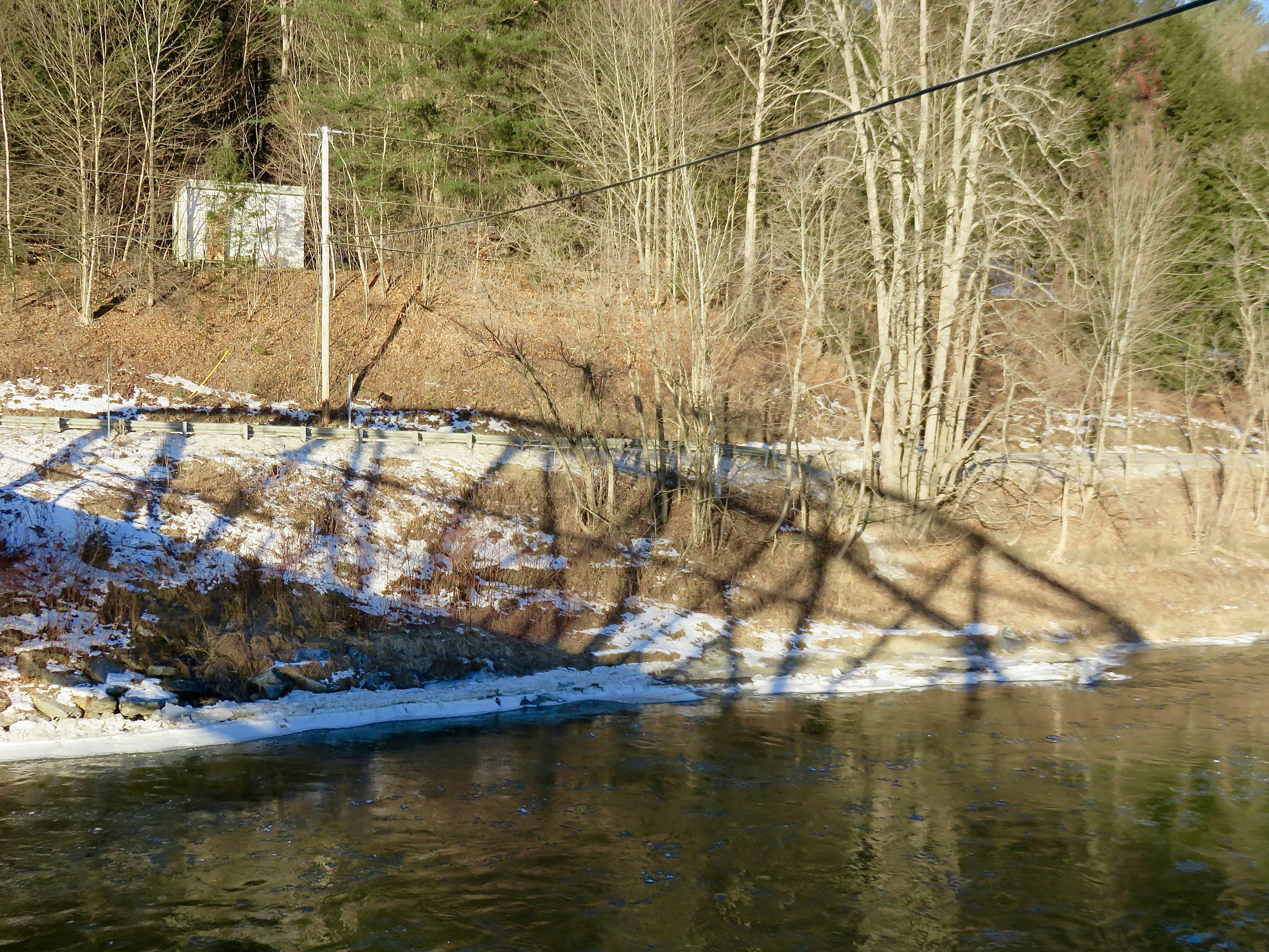
Long Trail Bridge, Duxbury to Bolton

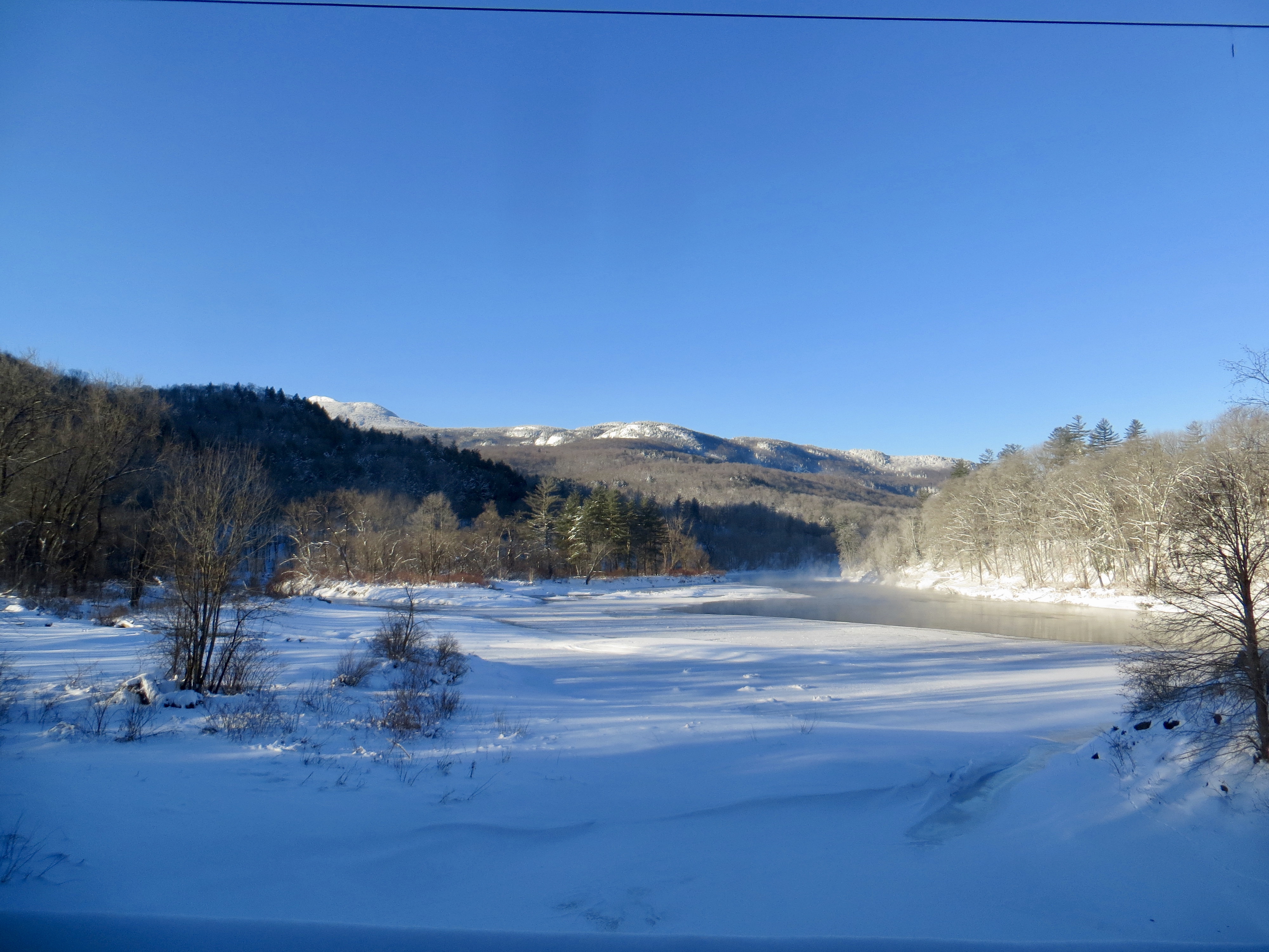
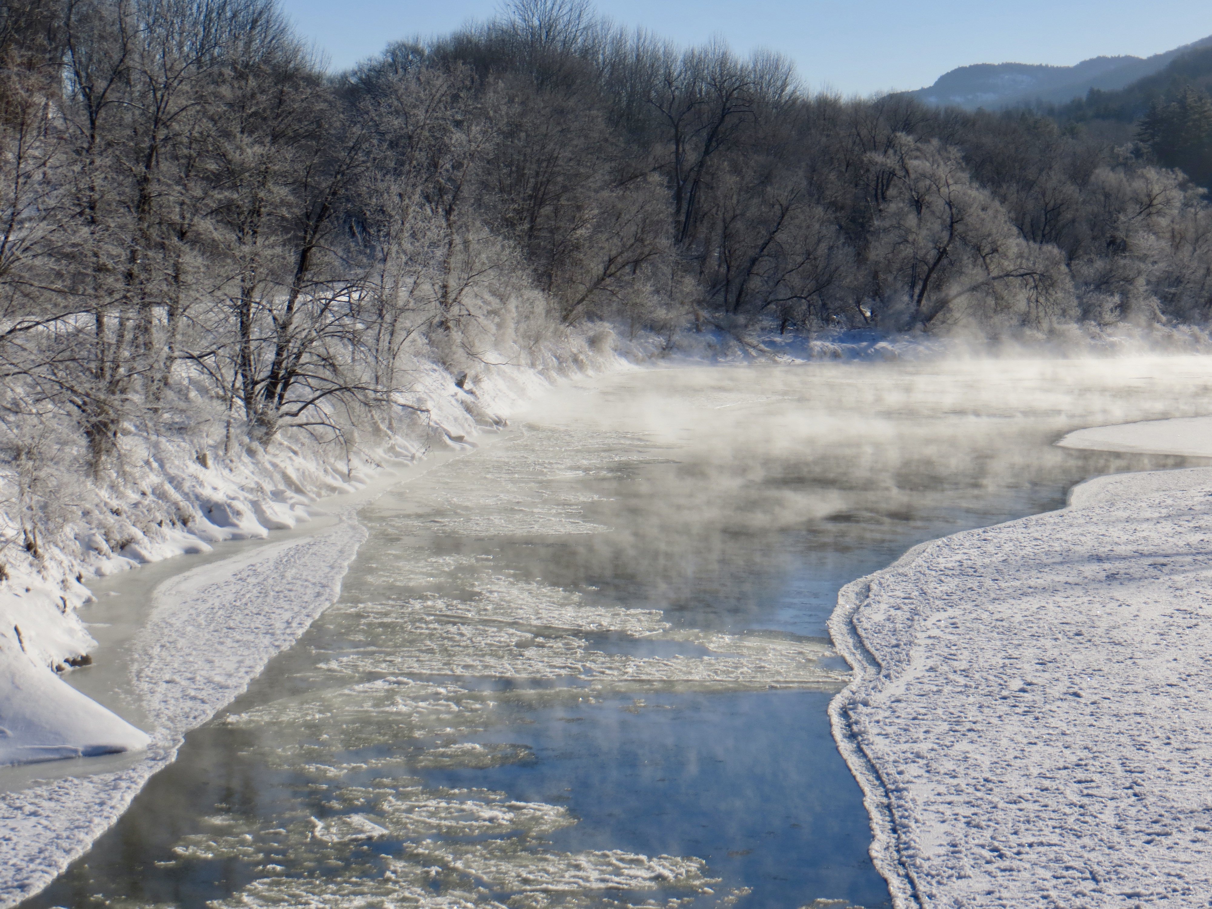
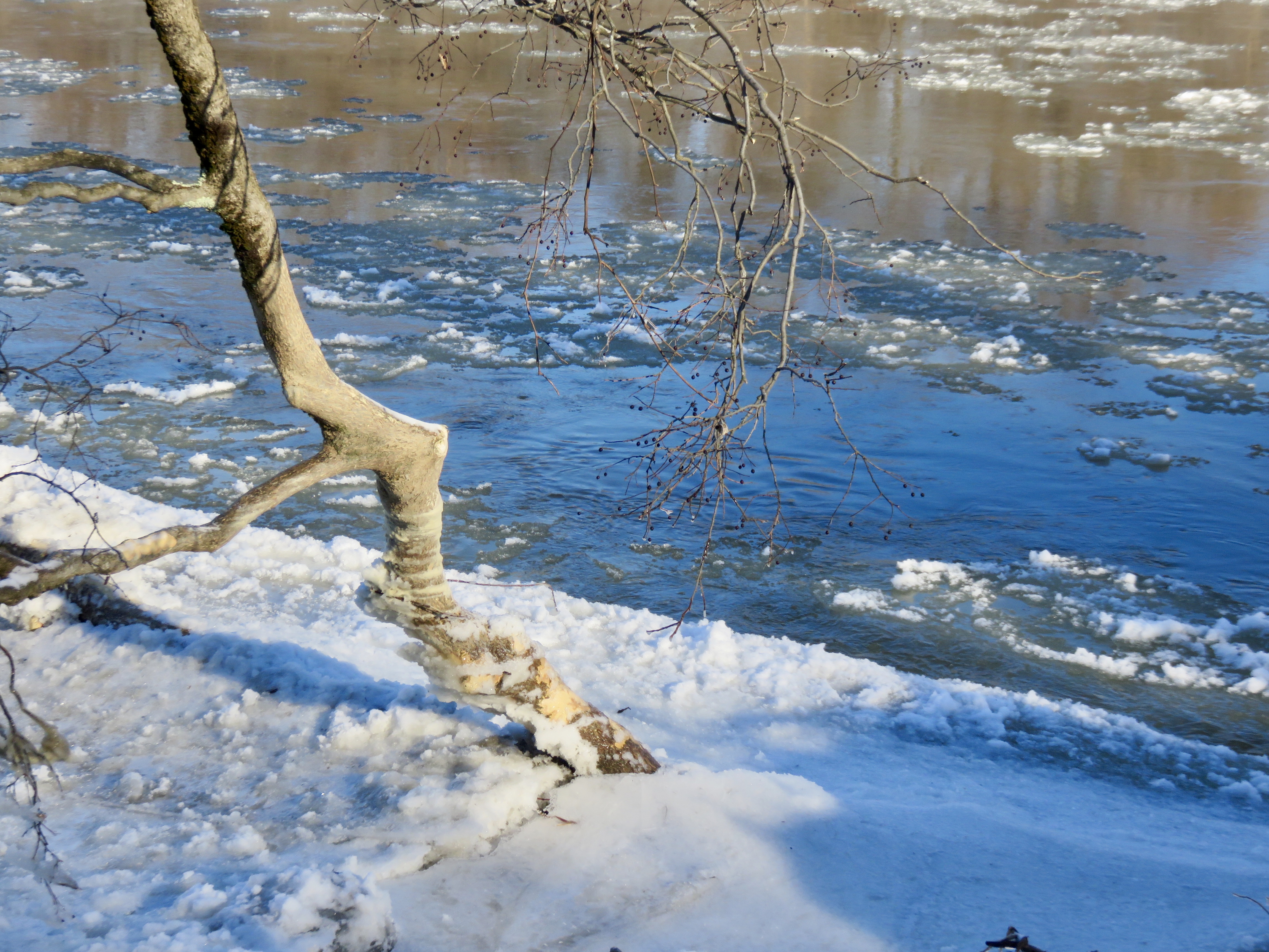
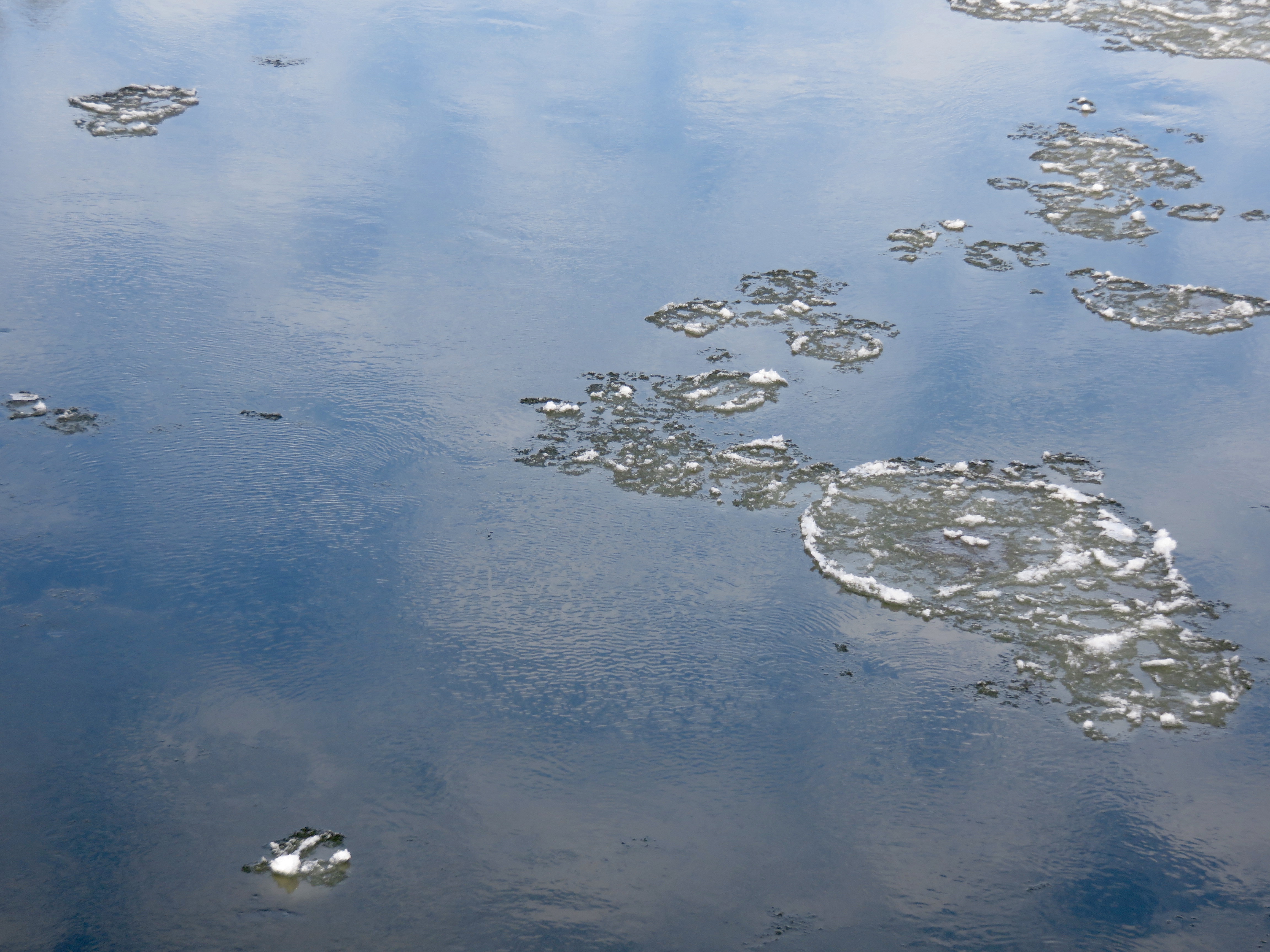
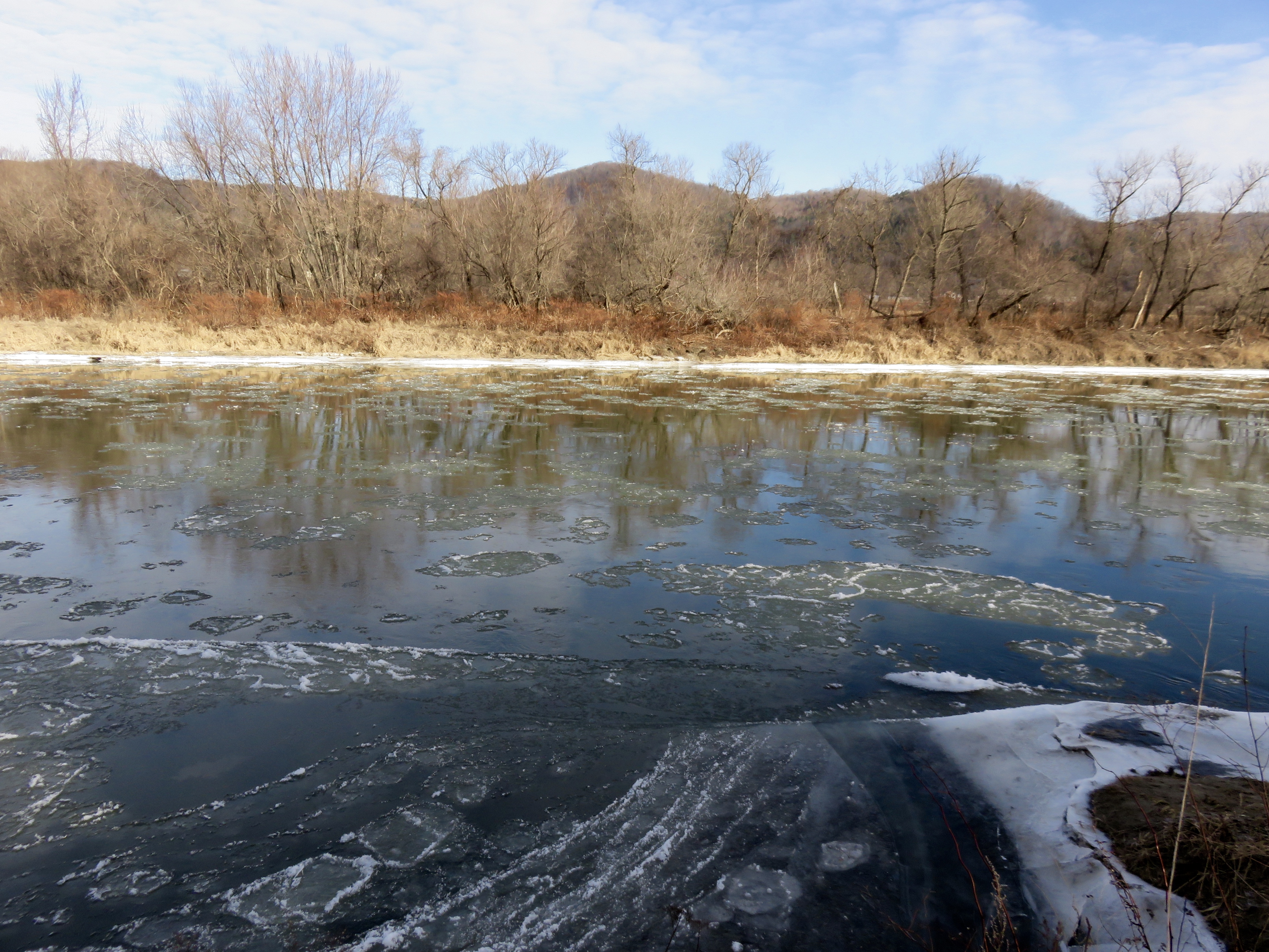
Jonesville
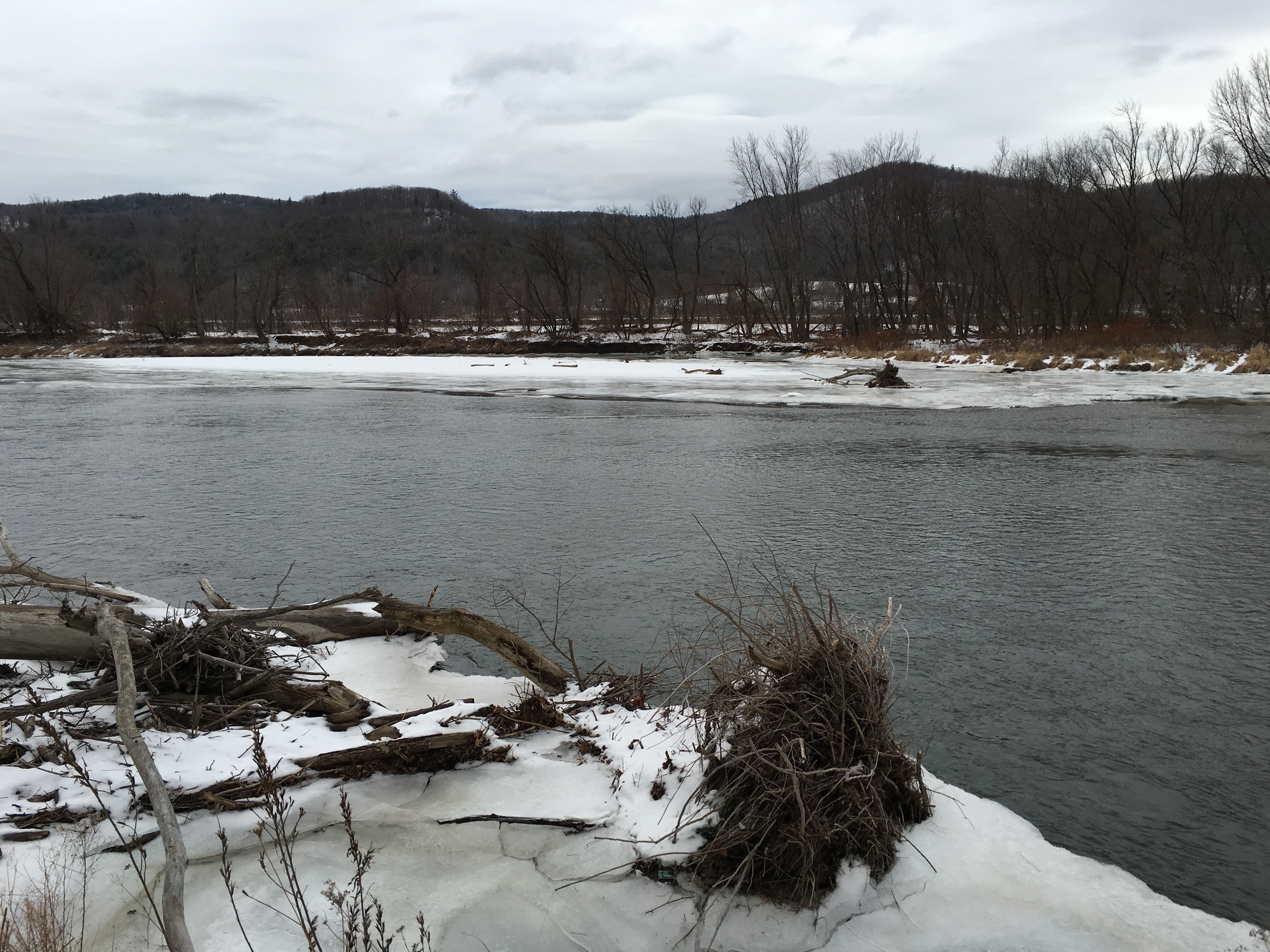
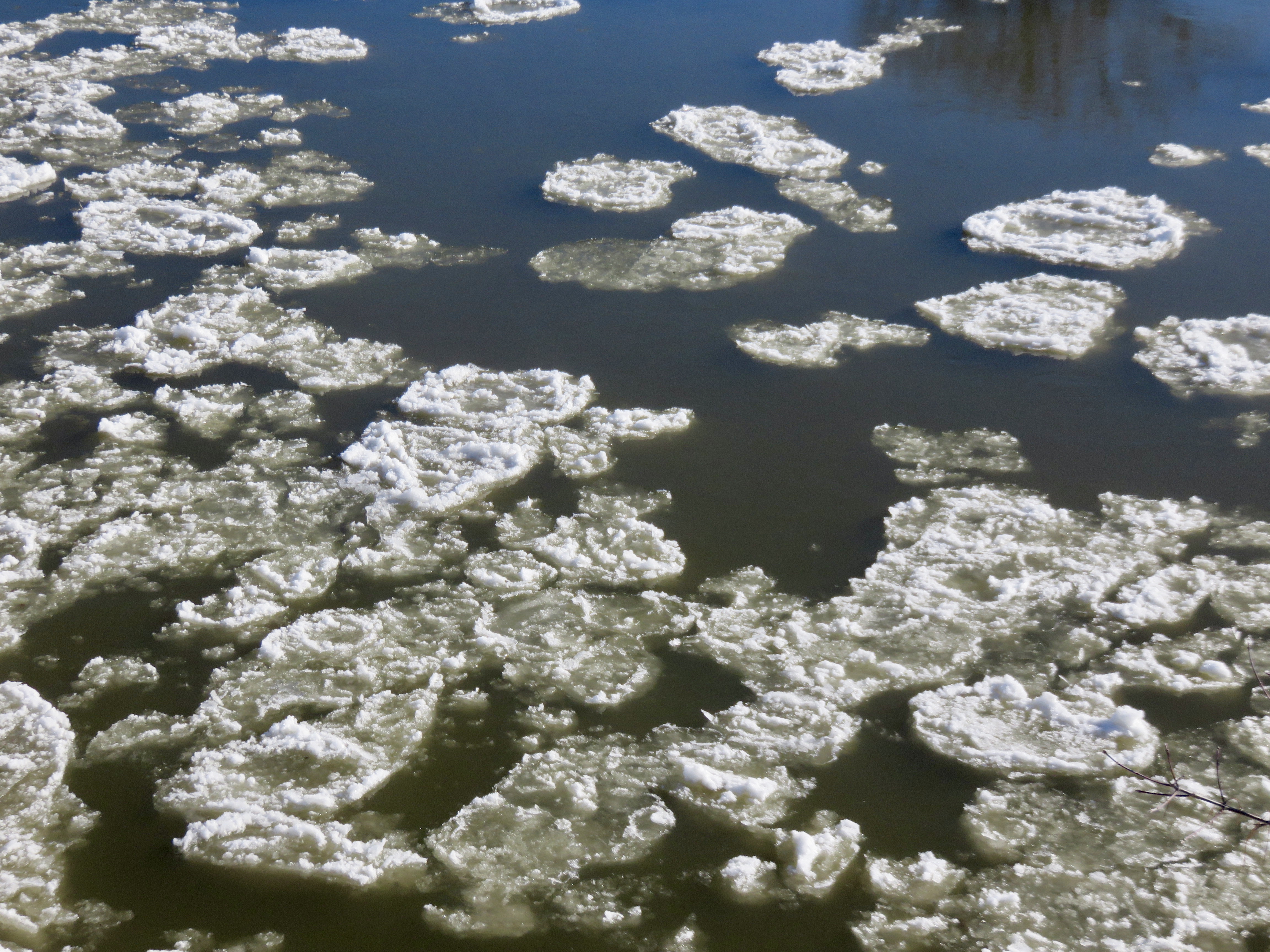
Richmond, from Beeken Rivershore Preserve
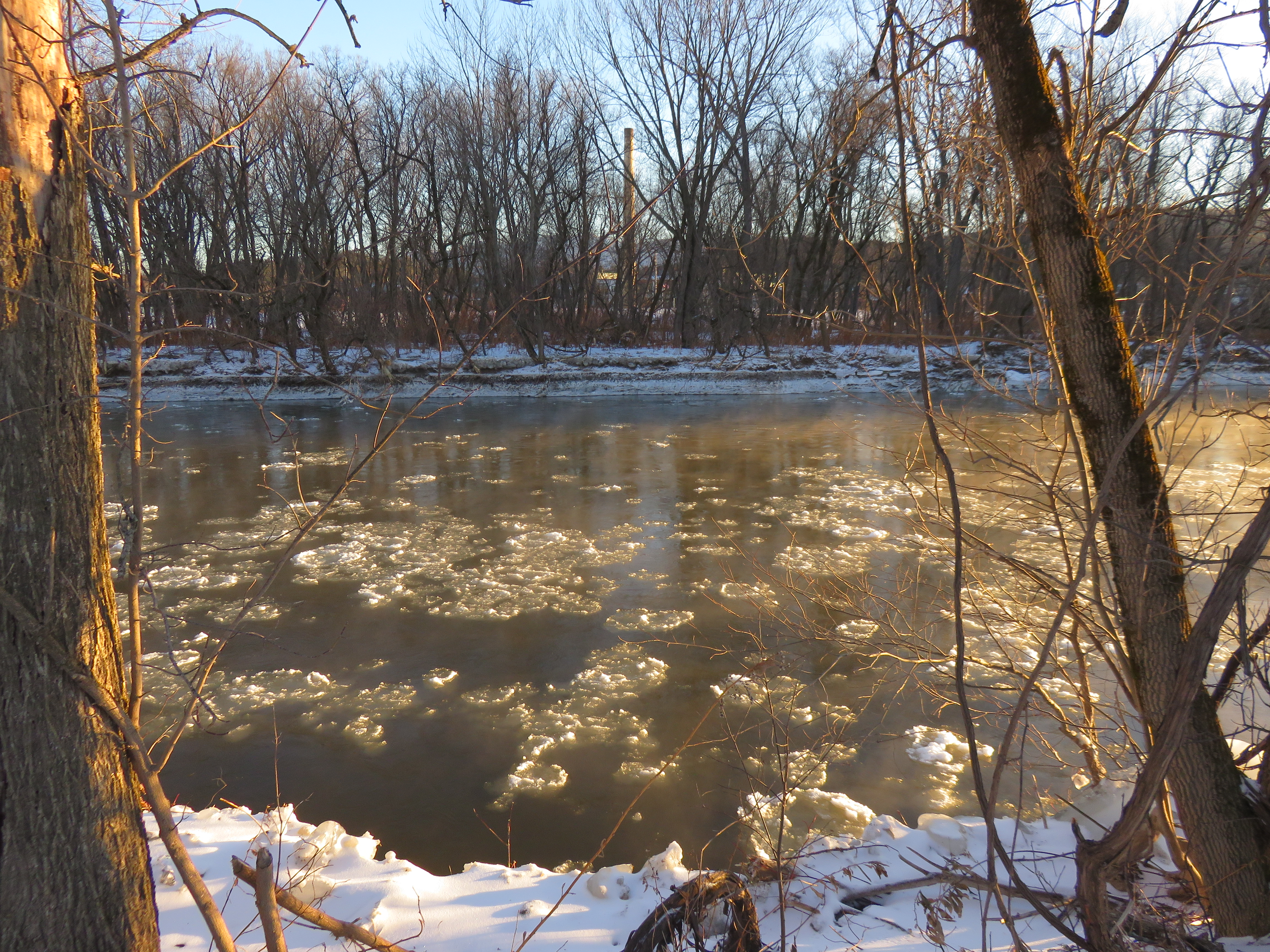
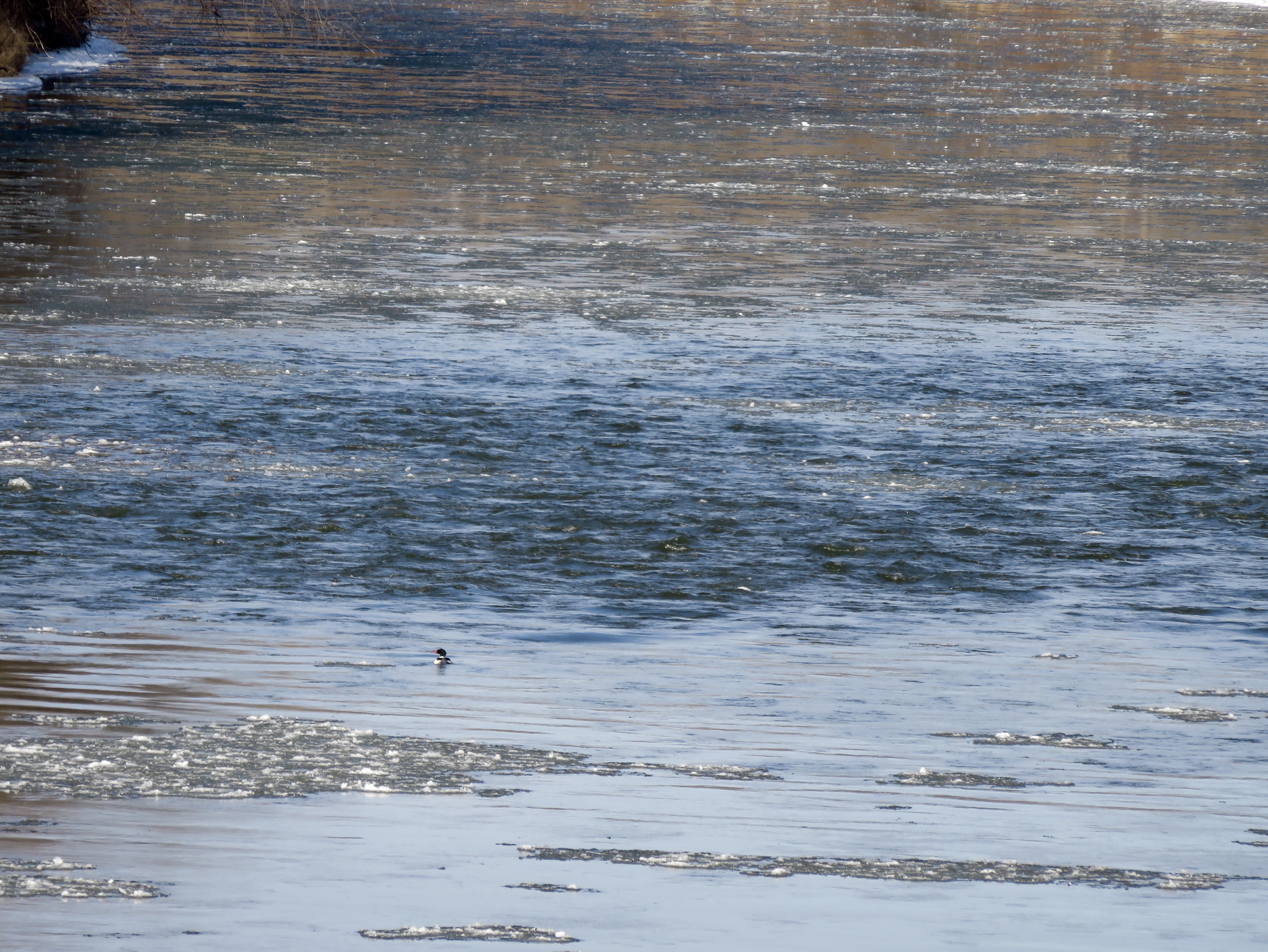
Richmond

Williston, North Williston Road Bridge

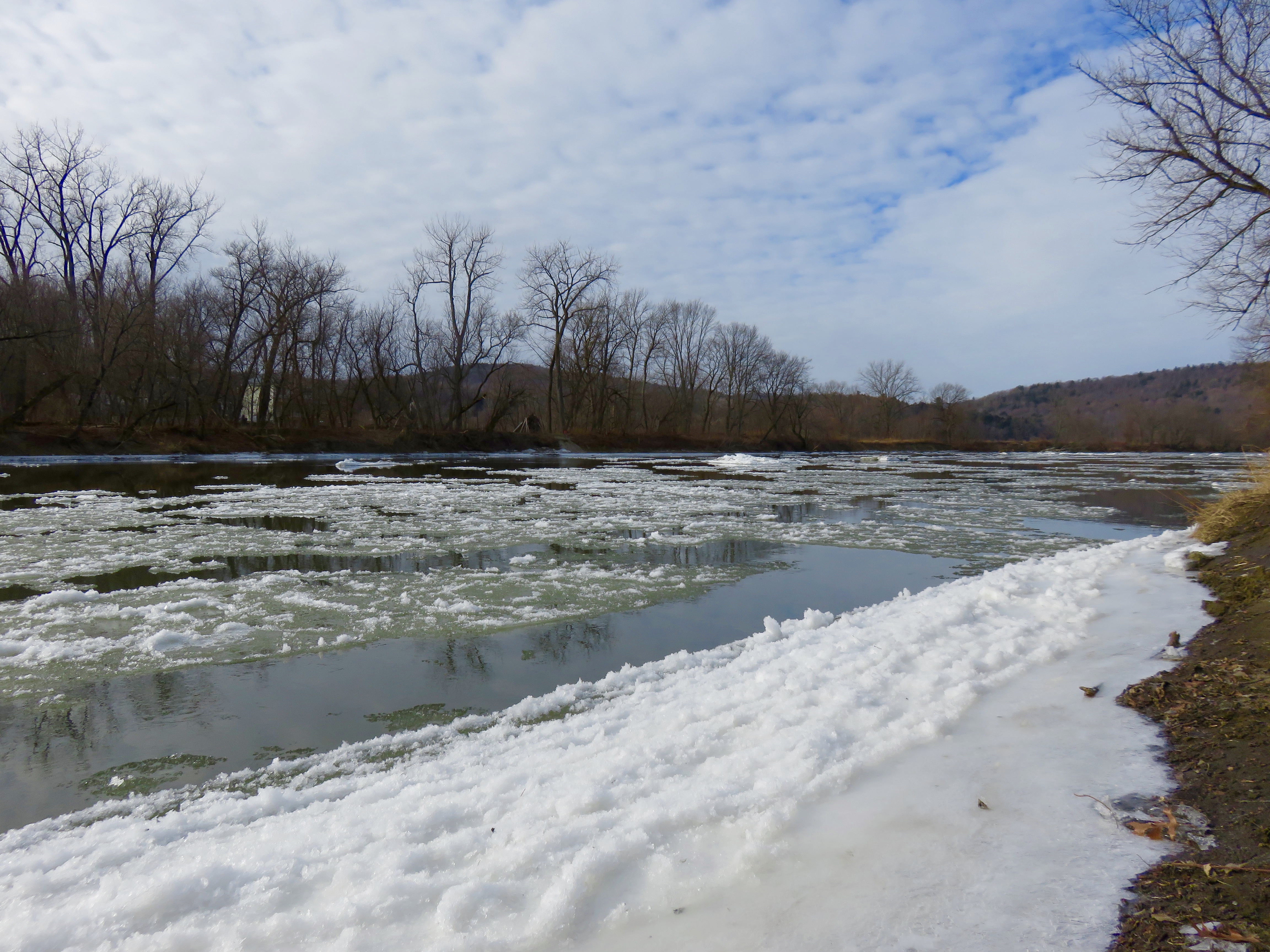
Essex, from Woodside Park

Colchester, from Burlington bike path

Winooski River flowing into Lake Champlain