
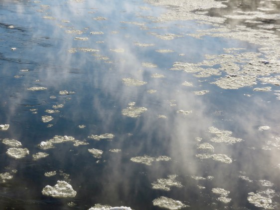
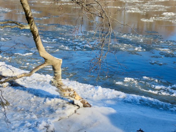
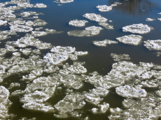
Yesterday I participated in the Winter Bald Eagle Survey. My route was the Winooski River, from Waterbury to Lake Champlain. While I did not see any eagles, I got to see the river in its winter splendor. It was cold. The day started at 3 below zero and got all the way up to 6 degrees. Here is the Winooski River as I saw it yesterday.

Just after sunrise in Waterbury

Winooski Street Bridge, Waterbury

Deforge Hyrdoelectric Dam. Note the ice after high water earlier in the week.

From the Long Trail access point, Duxbury
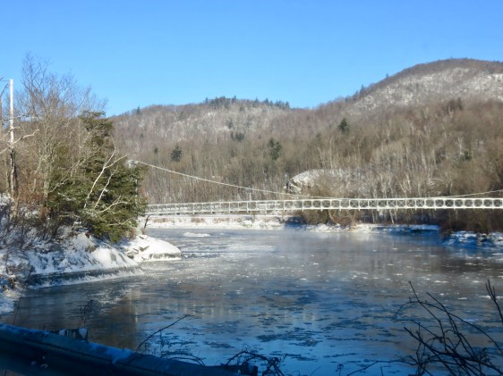
Long Trail footbridge
From Jonesville bridge
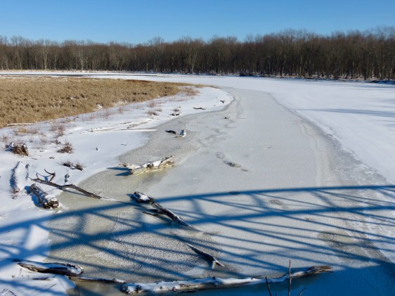
Warren and Ruth Beeken Rivershore Preserve

Town park, Richmond
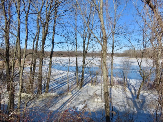
Near Fontaine Canoe Access, Williston

Overlook Park, Williston

Woodside Park, Colchester. The river is under all that ice.

Winooski River Walk, Winooski

Winooski, Vermont
Flooded fields at Ethan Allen Homestead
From the bike path bridge as the Winooski River ends at Lake Champlain

