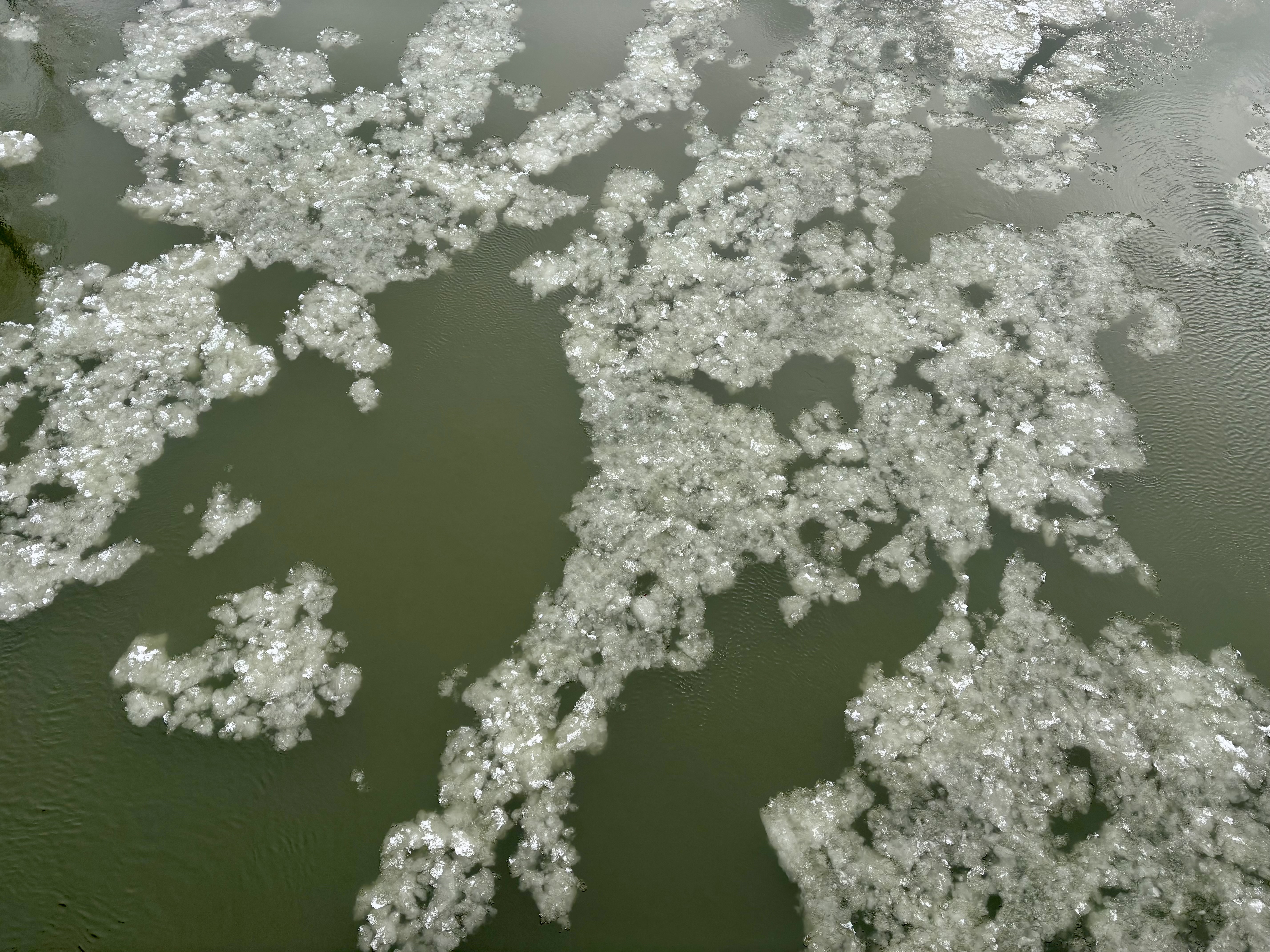
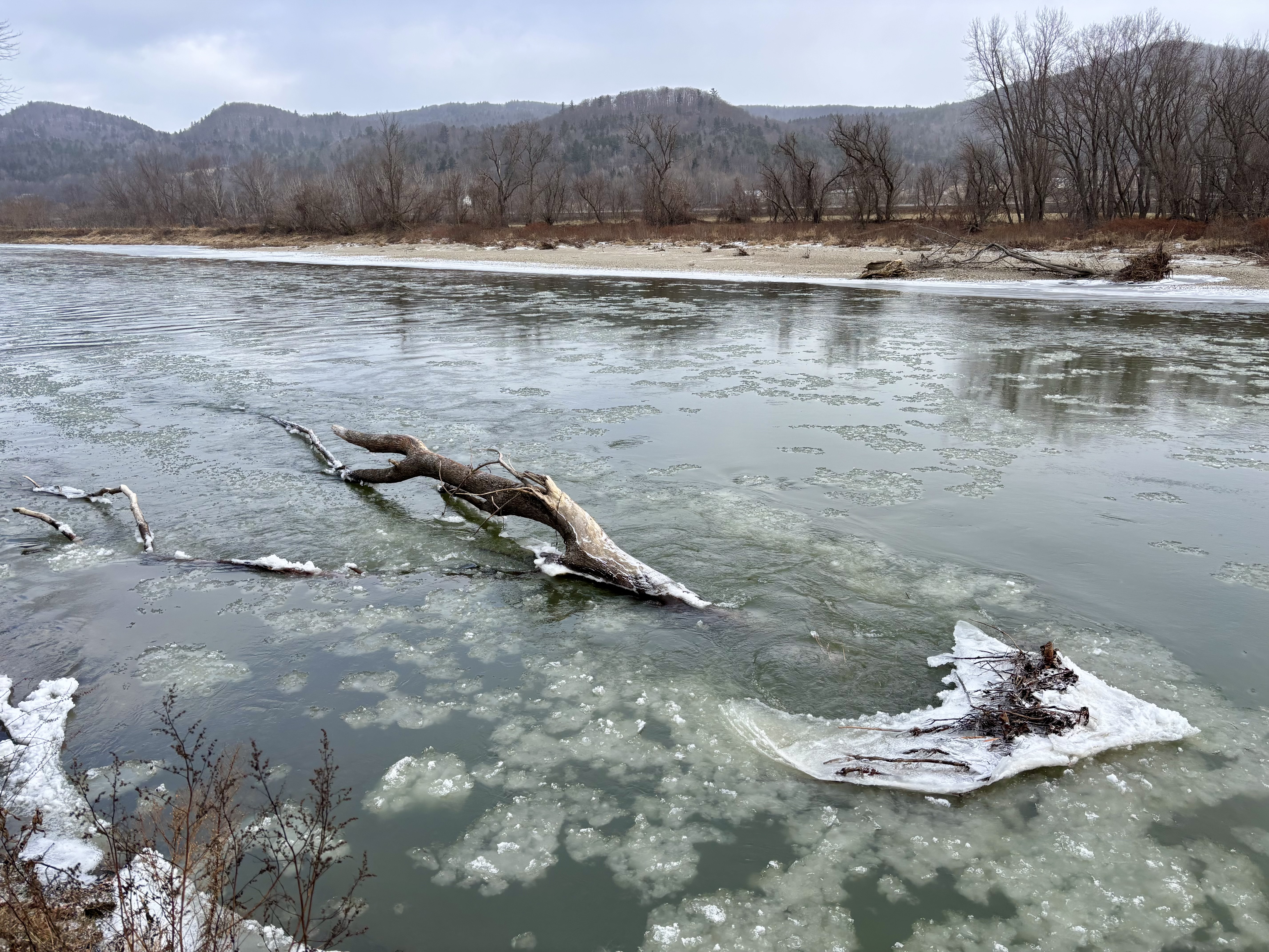
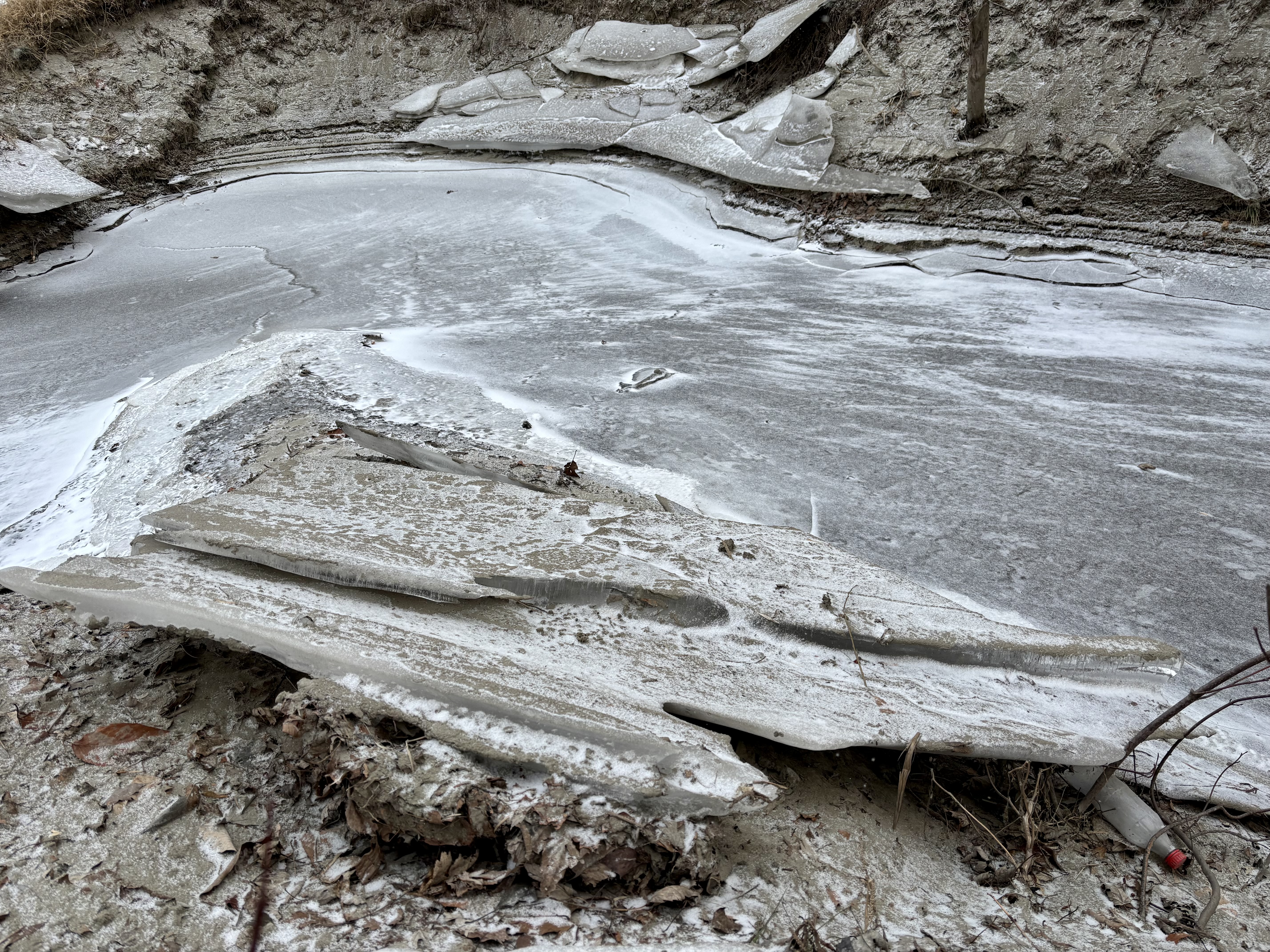
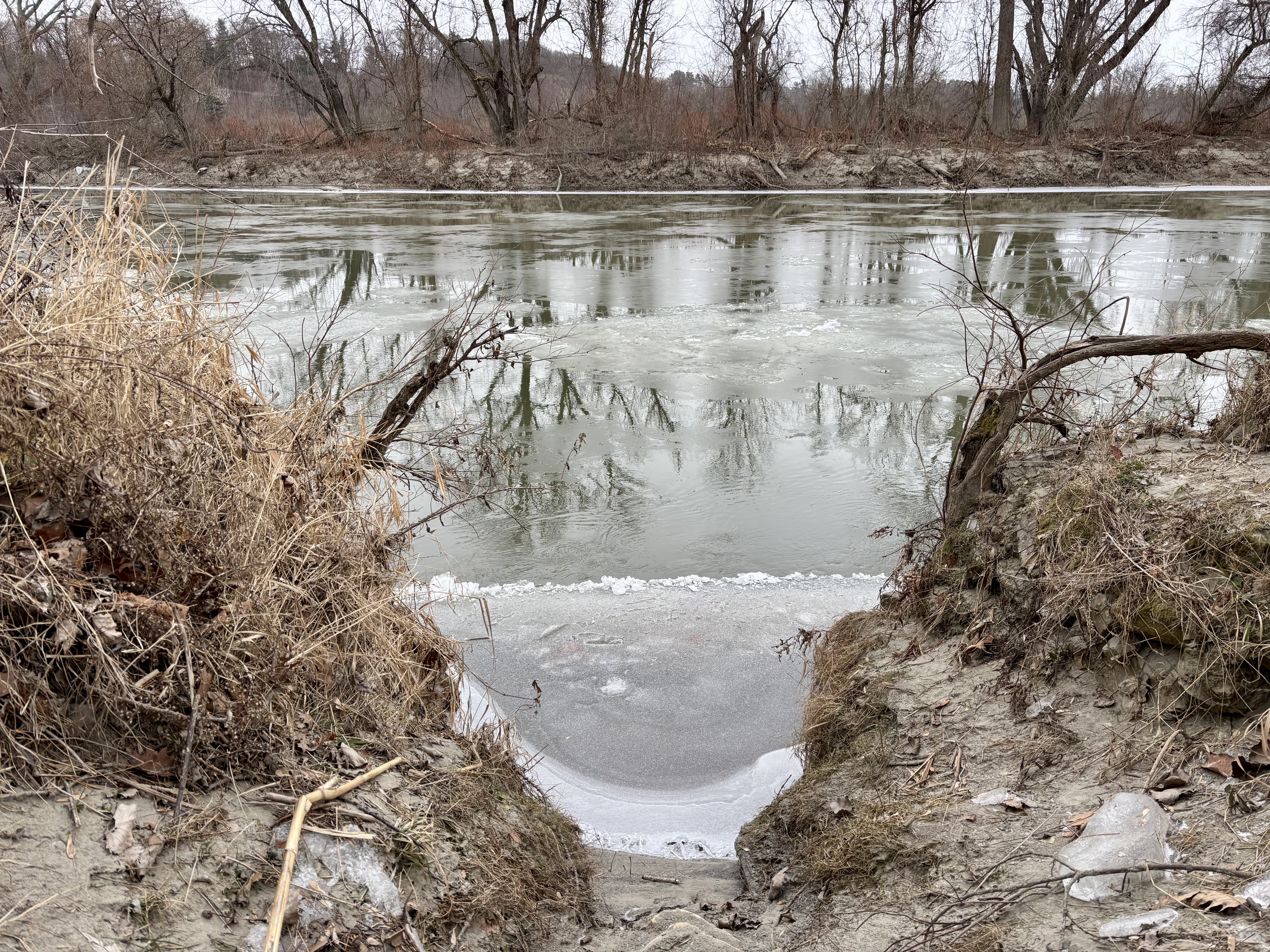
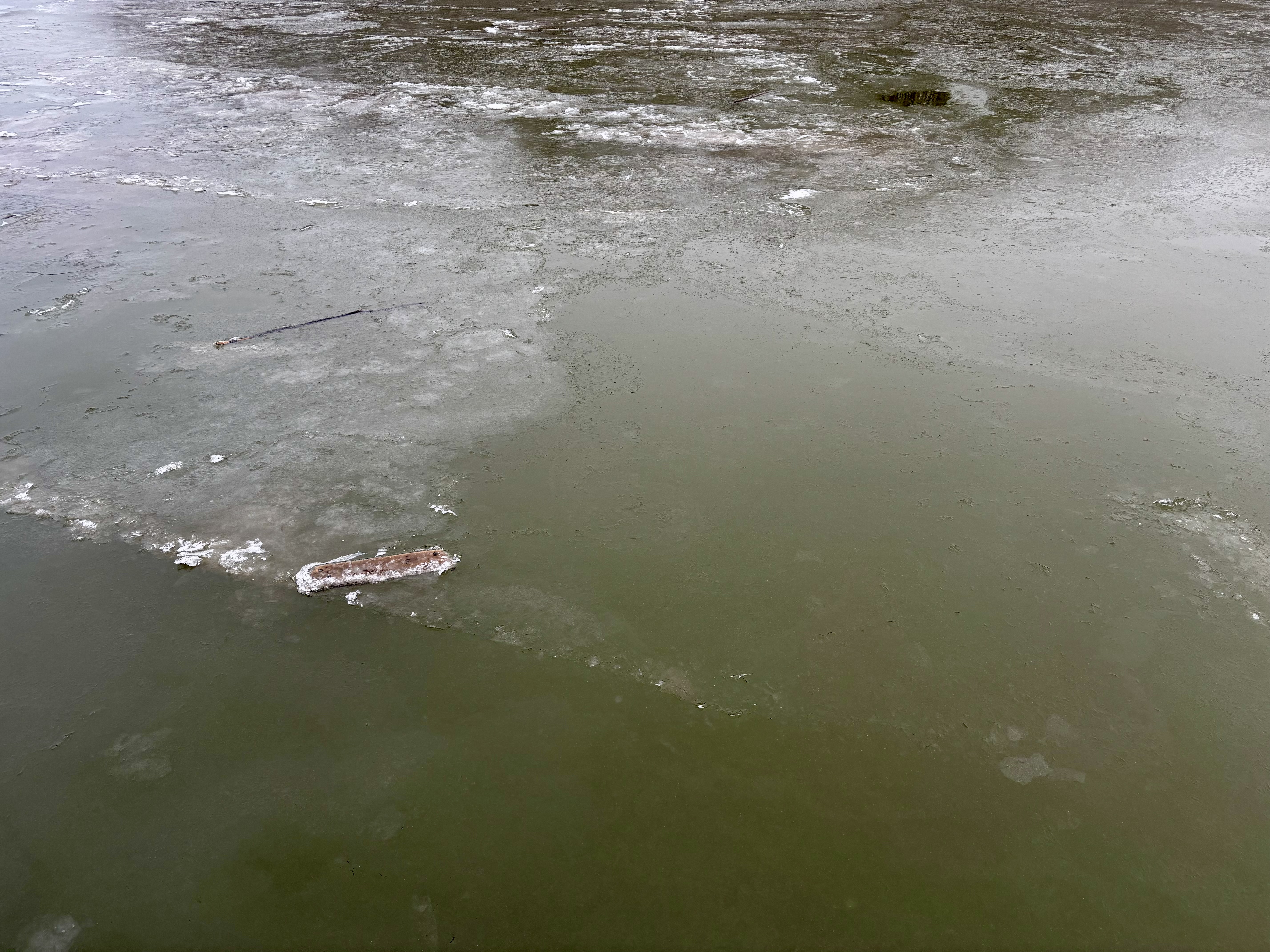
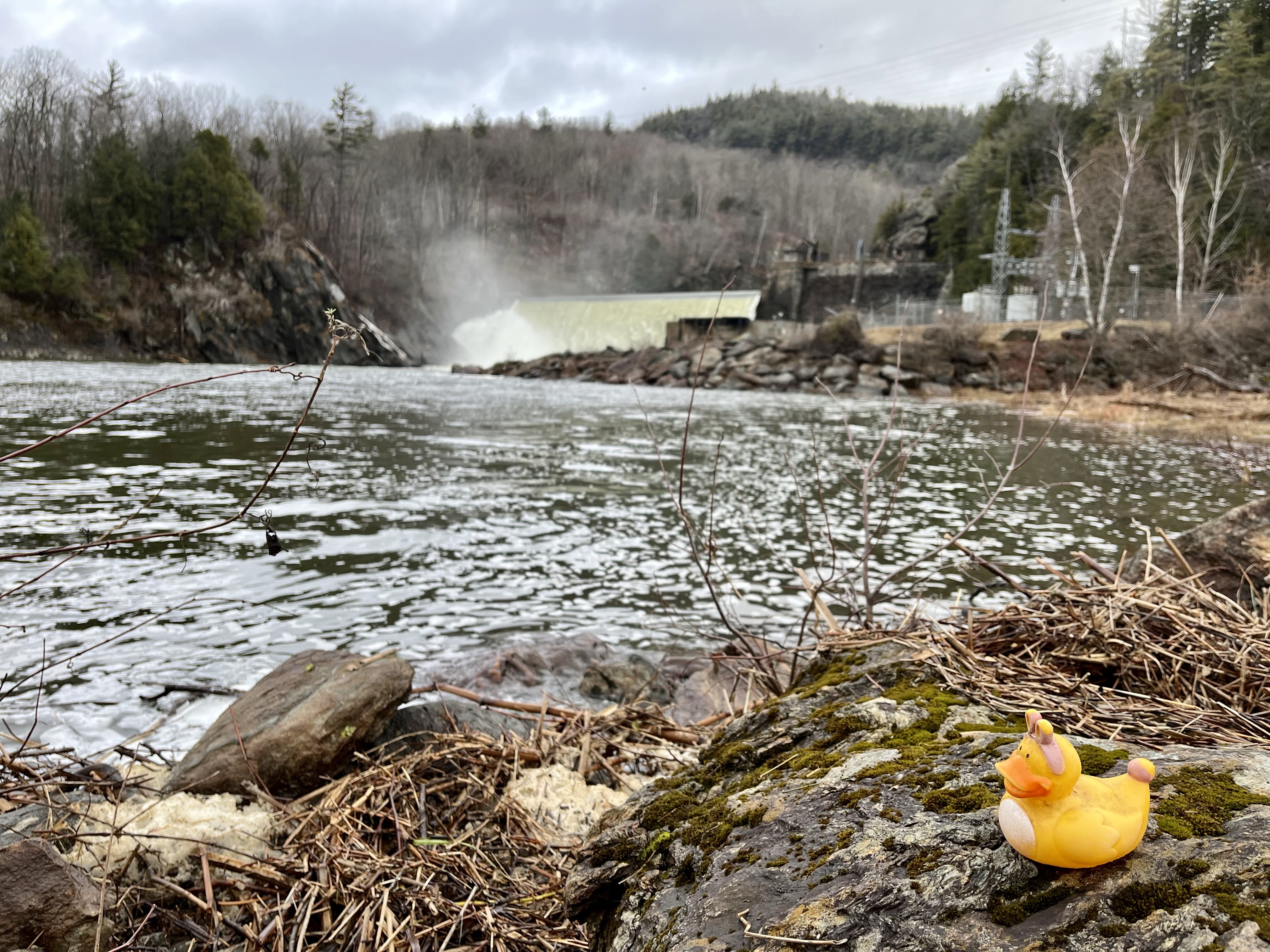
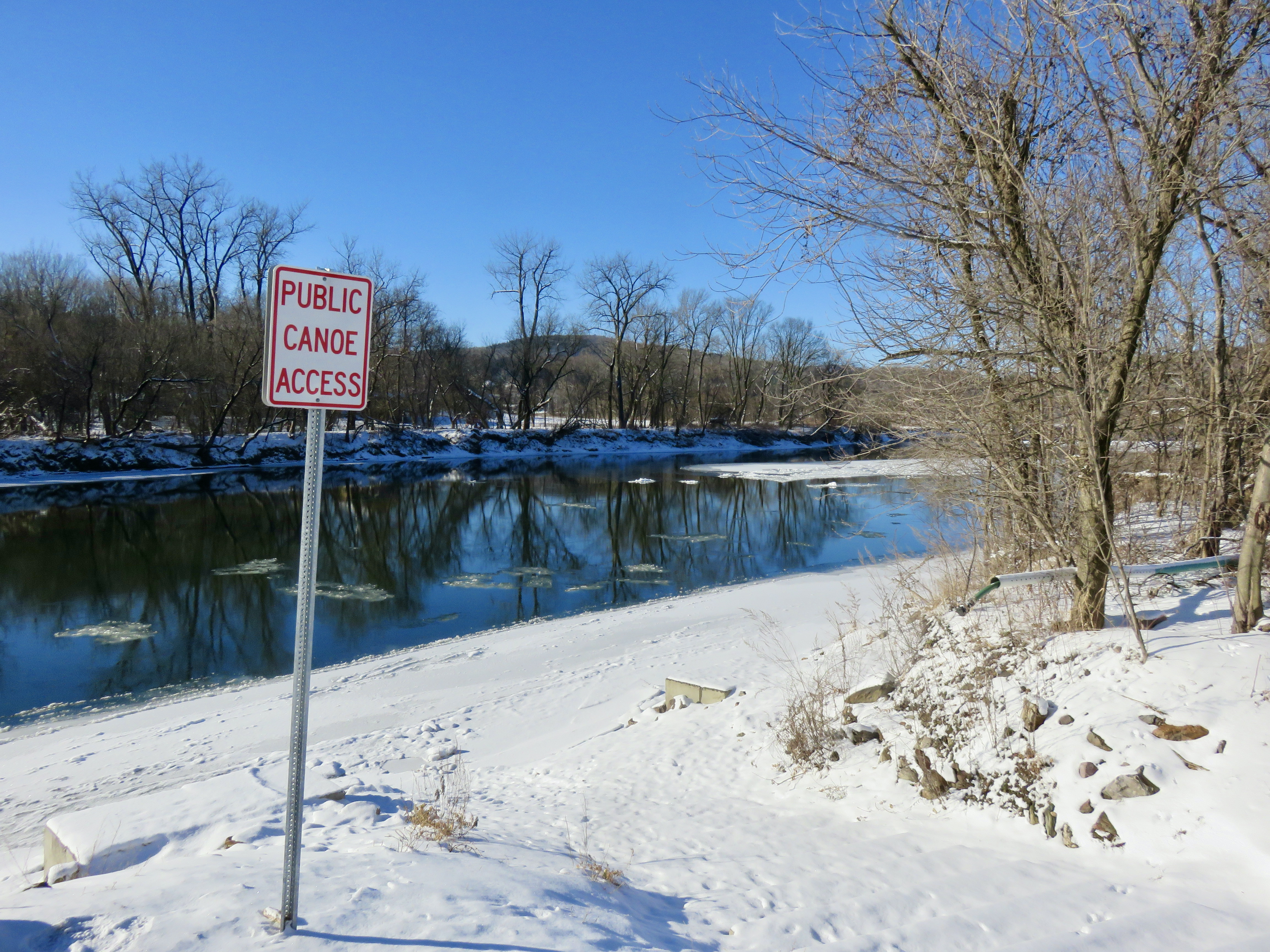
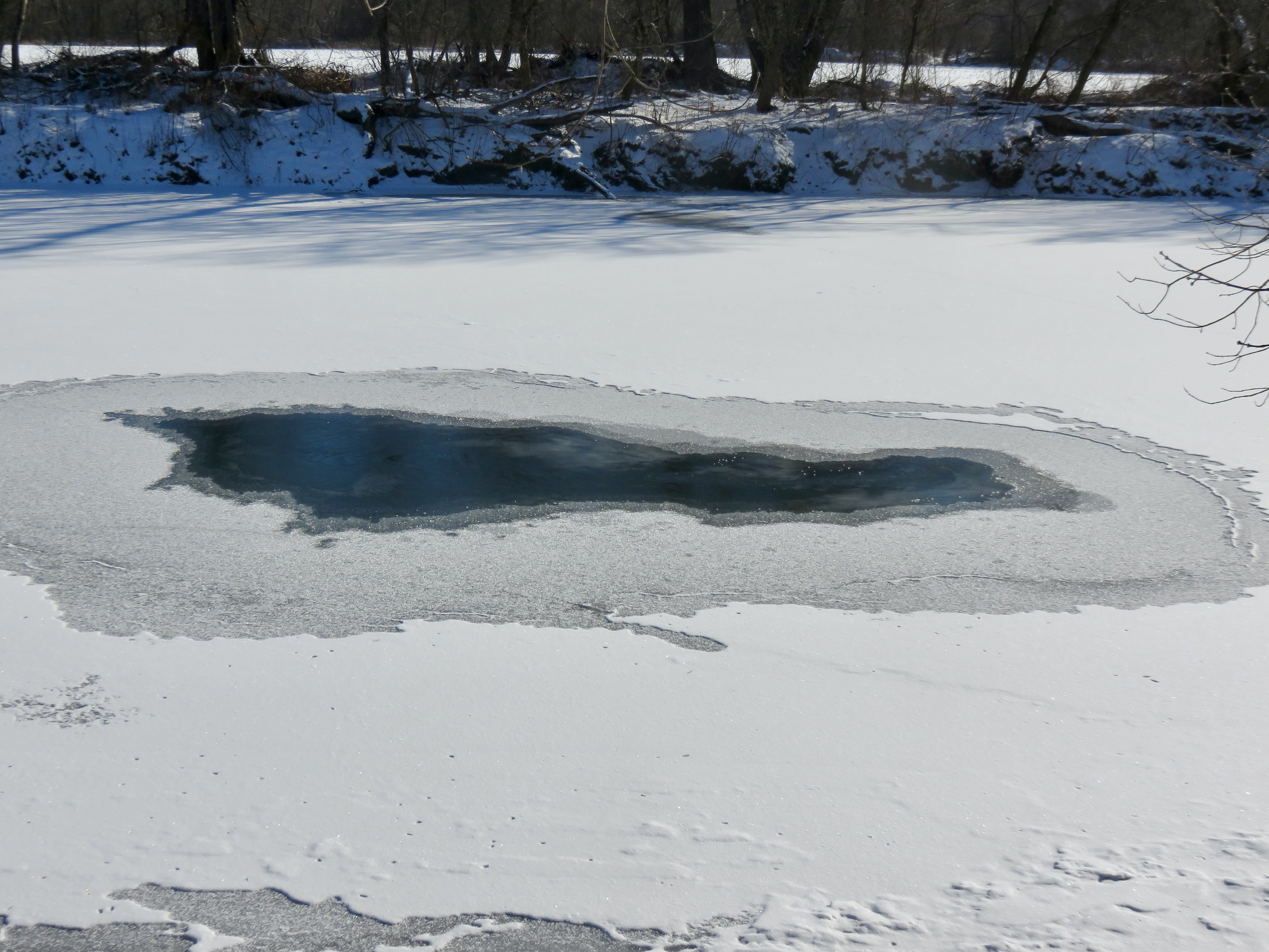
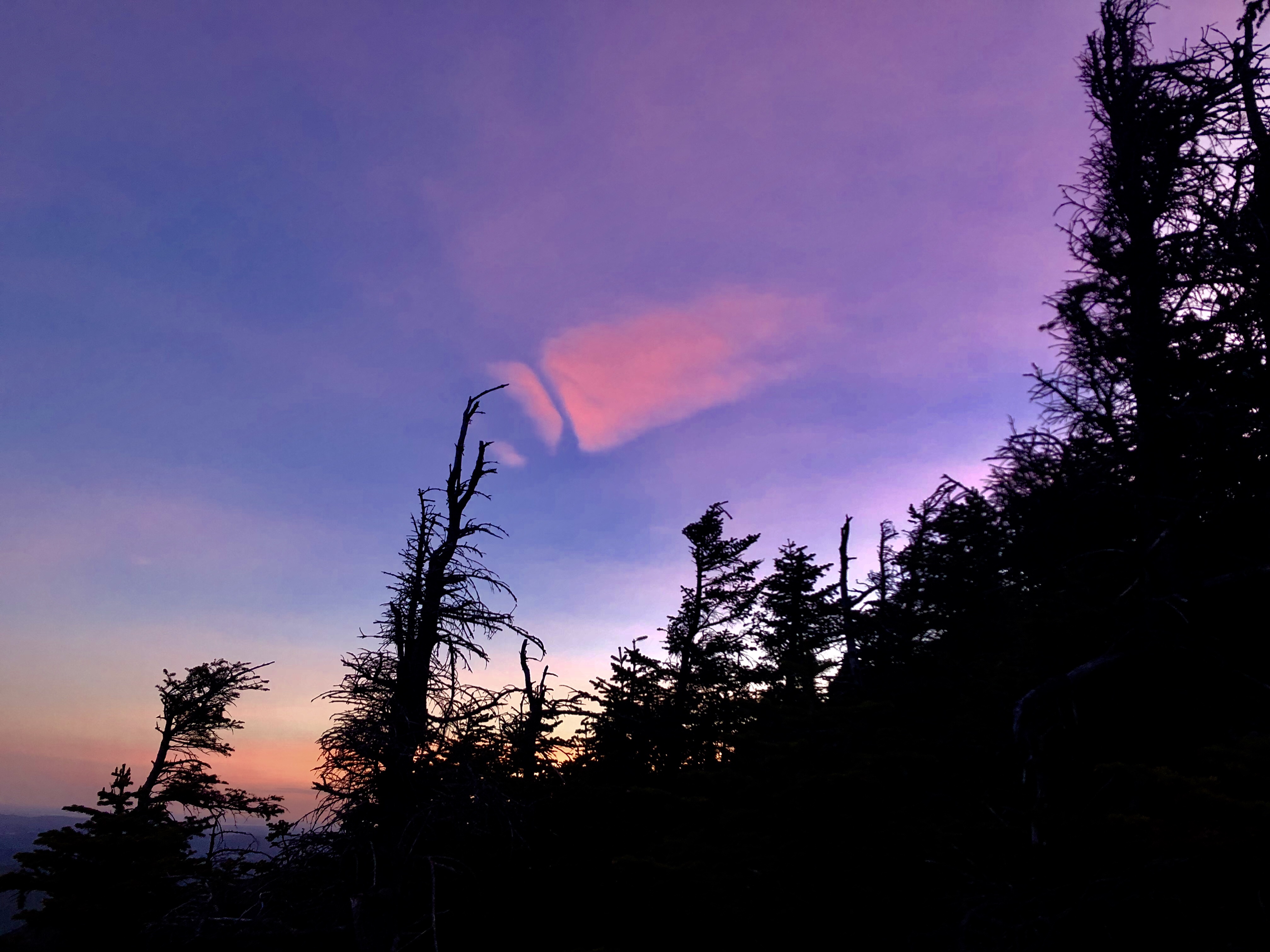
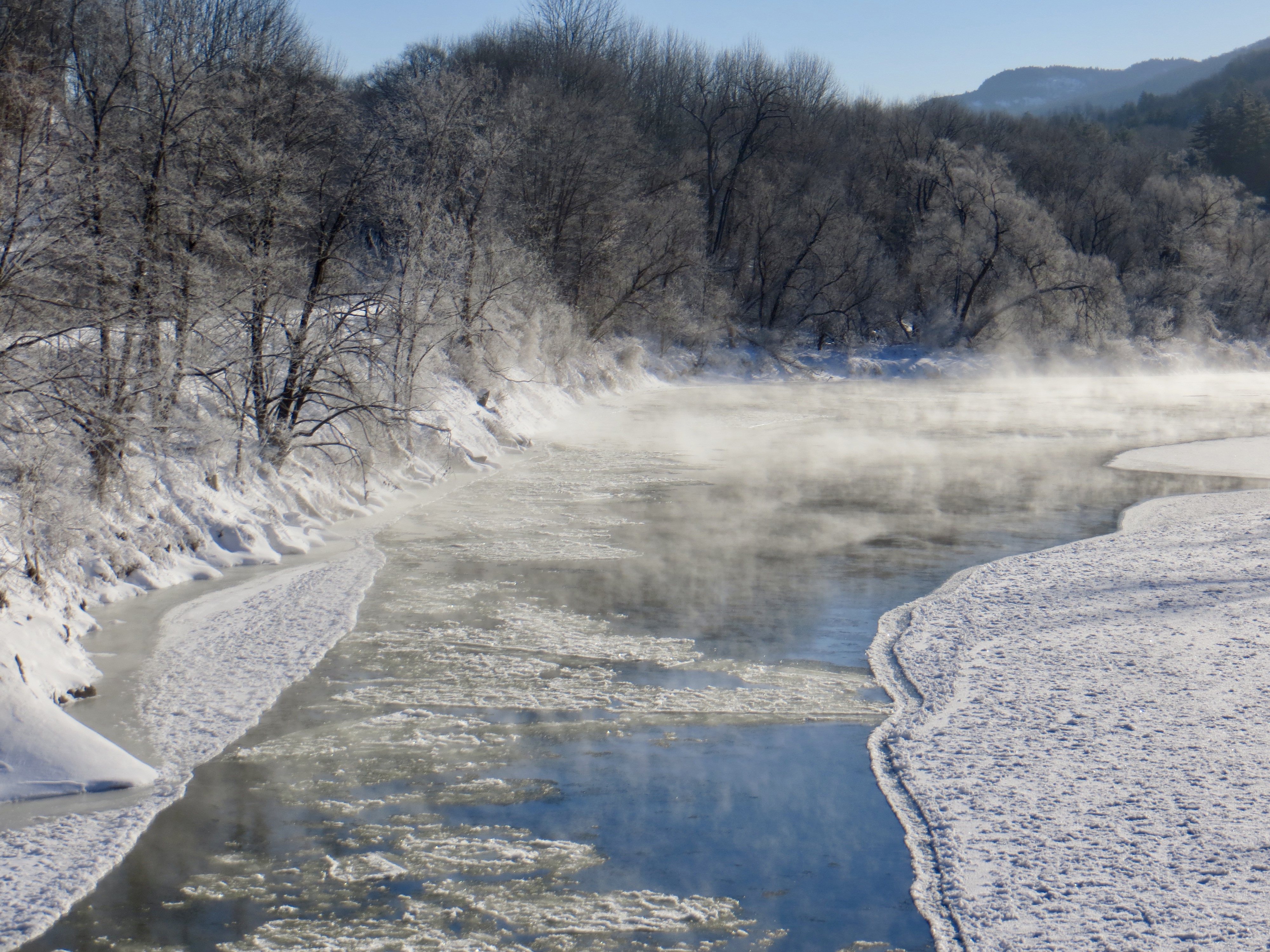
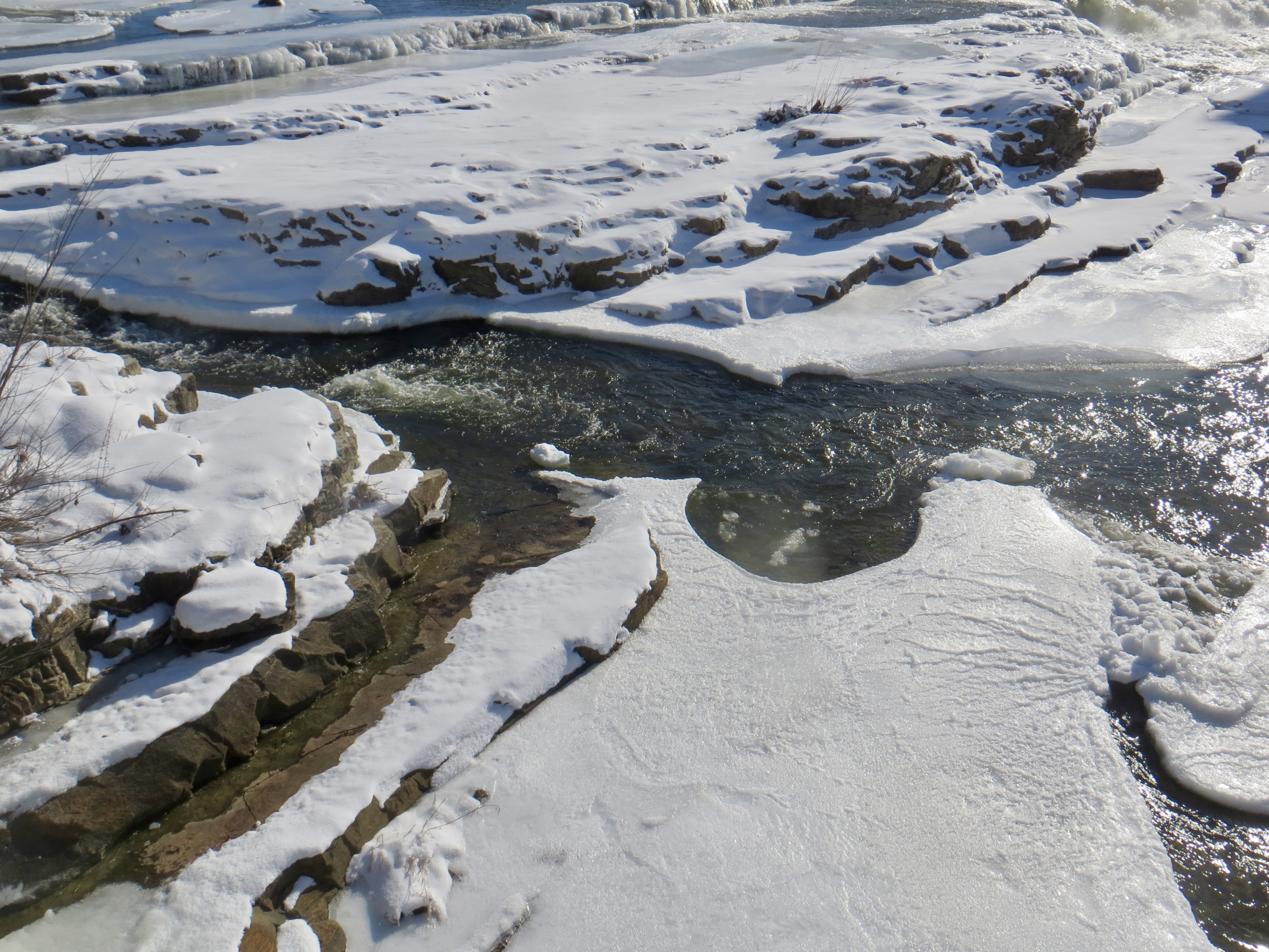
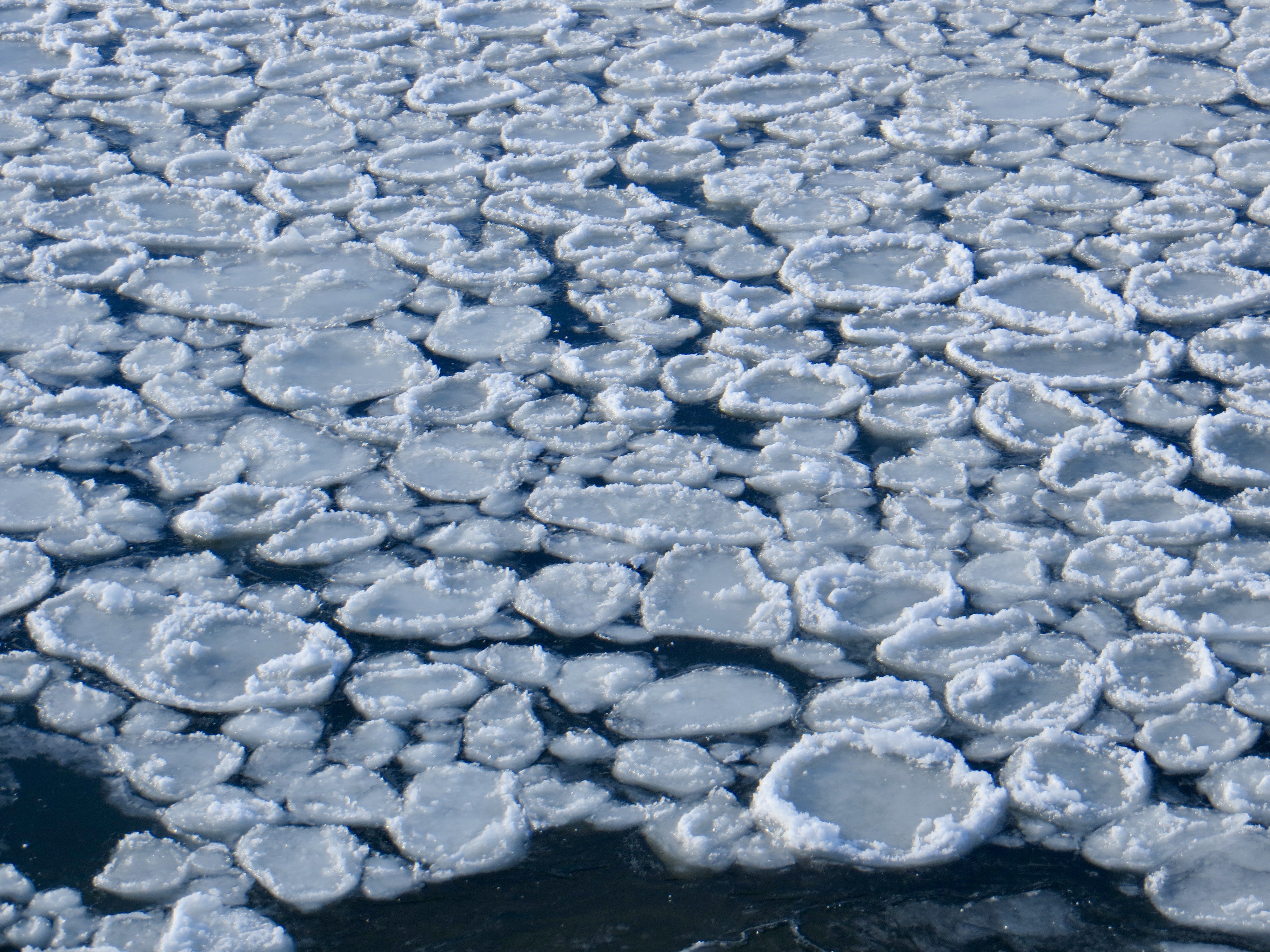
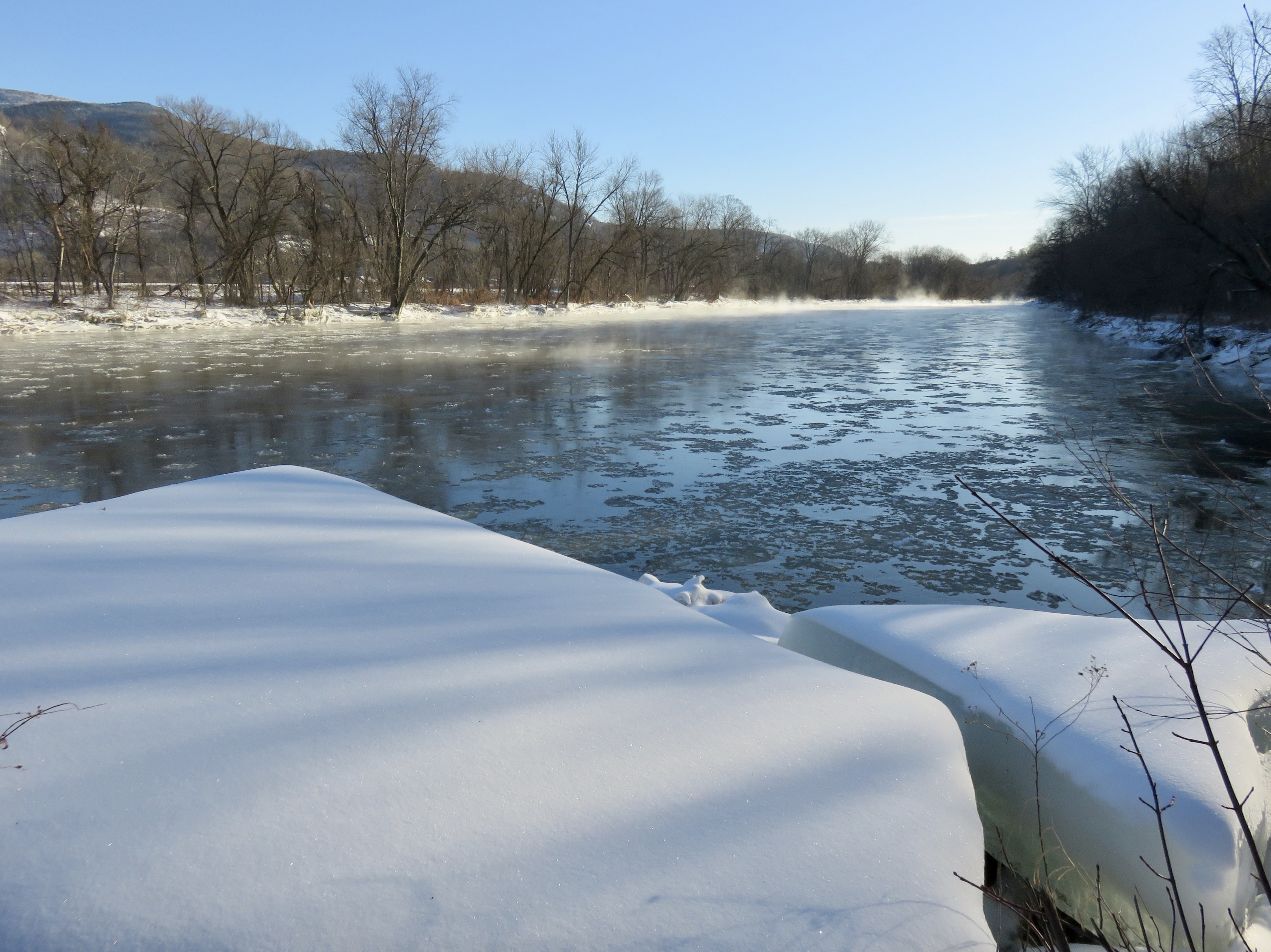
For several years now I have taken part in the midwinter bald eagle survey, hosted by Vermont Audubon. I have had the same route each time–the Winooski River from Waterbury to Lake Champlain. There are over a dozen spots along the river I can stop and scan for eagles, and of course I scan for them from the car when I can. I did see eagle this year, soaring over the river in Jonesville. Along the way I took photos of the river, so here is my 2025 Winooski River portrait.
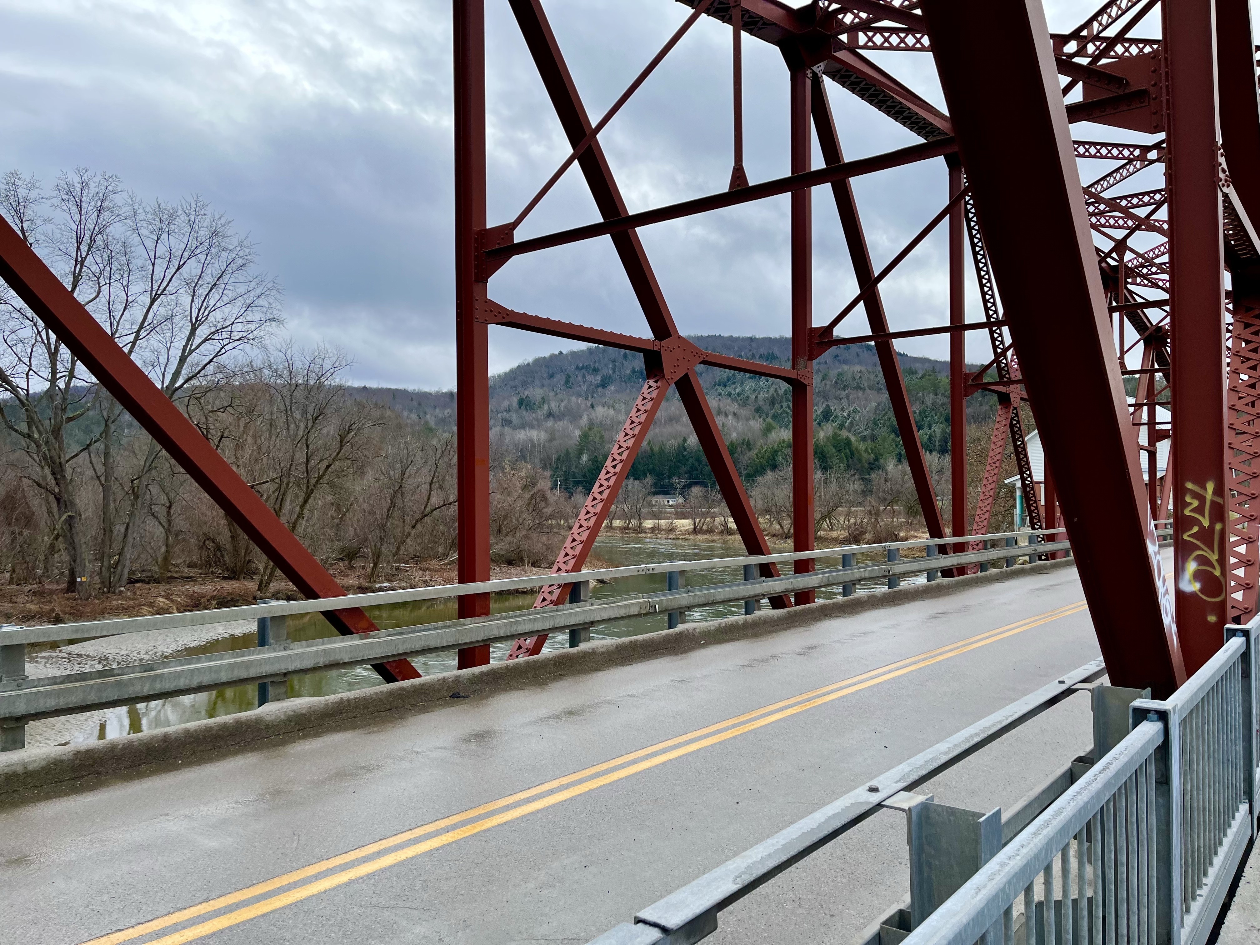
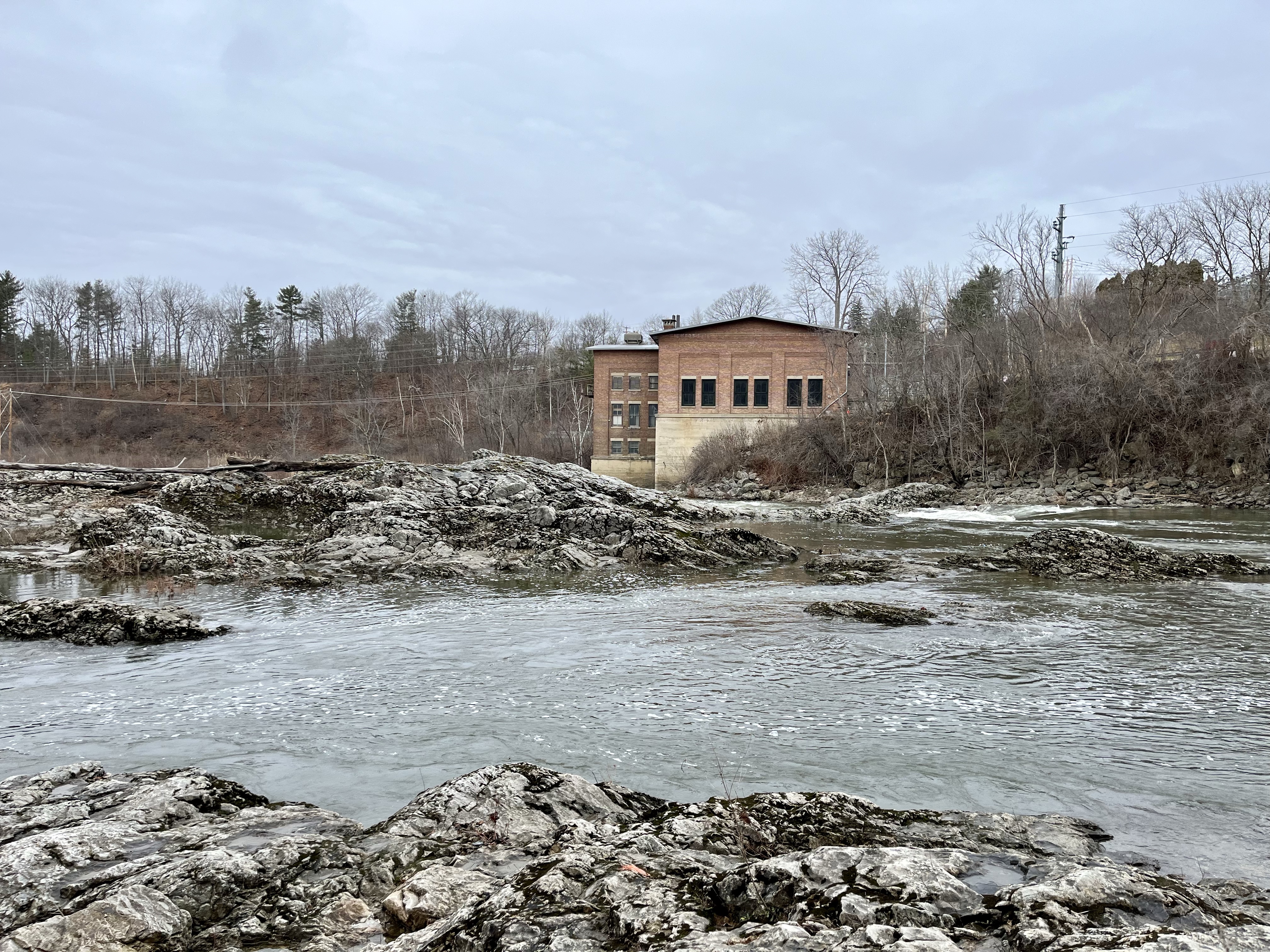
Along River Road, DuxburyOn bridge, WaterburyDeforge Hydroelectric Dam, BoltonLooking west from Deforge Hydorelectric Dam Recreation AreaRiver’s edge near Long Trail, DuxburyLooking east from Jonesville BridgeFrom Jonesville BridgeFrom Warren and Ruth Beeken Rivershore Preserve, RichmondVolunteer’s Green, RichmondCanoe access, WillistonFrom bridge near Overlook Park, WillistonWoodside Park, ColchesterRiver’s end, near Lake Champlain, Colchester
Last weekend I completed my latest high elevation bird survey for the Vermont Center for Ecostudies‘ Mountain Birdwatch program. Every June people head to the highest points of the northeast to search for bird species that hang out up there. I have been doing it since 2000, so this is my 25th year participating.
I heard about this program because the Green Mountain Club put it in a newsletter or an email. I had already been volunteering for the GMC as a corridor monitor, scoping out this big piece of land next to the Long Trail in Bolton. I enjoyed getting out in the woods for that, so why not one other opportunity to explore the mountains and to help out at the same time? At the time the survey was hosted by the Vermont Institute of Natural Science (VINS). I got in touch and signed up.
My spouse and I lived up the mountain in Bolton then and I was assigned to survey Ricker Peak, between Bolton Mountain and Camel’s Hump. It isn’t on the Long Trail, but there was an old access road that went most of the way there, used by Bolton Valley Resort and whoever maintained the cell tower up there. Because it was so close I could hike right from the house, starting on the alpine ski trails, to get to that access road. It meant getting up early, since that is when the birds are active, but that was not a problem. Have you been up in the mountains when the day wakes? It is magical.
Because these birds nest up high, and because vegetation there is so dense (spruce and fir, mostly), seeing the birds was a rare thing. Mostly it required hearing them. So the training for the survey meant learning bird songs and calls. That is when I learned that birds have songs and calls, and learning both would be helpful. The training required listening to recordings to memorize them. This was 2000, before smart phones, before iPods even, so I recevied a CD in the mail. Mostly I listened in the car until I knew all those bird sounds.
When the program started there were only five focal species, the ones to pay attention to and to mark on data sheets for the study. These were Bicknell’s Thrush, Swainson’s Thrush, Blackpol Warbler, Winter Wren and White-Throated Sparrow. Plus Red Squirrel. Since squirrels will eat bird eggs, bird populations can be affected when squirrel populations jump. I knew the sound of all those critters well. Of course, they were not the only birds I heard so, using other CDs of bird songs, I eventually learned more bird songs and calls. I was too curious not to learn them.
The thing about learning all those bird songs was that it expanded my world. If I went for a hike, or a walk anywhere, I could hear birds singing, often pretty far away. Instead of just the trail in front of me and the woods beside me, I experienced what was beyond what I could see. That Black-Throated Blue Warbler was way off in those maples. It made the woods bigger. And once you start hearing it, it is hard to turn off. The world grows beyond what you can see.
I had several routes over the years, all in Vermont. At one point, however, they decided it made sense to be consistent. Rather than survey any of the peaks that might have those high elevation species, especially Bicknell’s Thrush, the long-term reliability of the data depended on surveying the same places repeatedly. Now there are fewer routes but, if possible, all the peaks in the study get surveyed each year. Ricker Peak didn’t make the cut, so I ended up with a route in the Worcester Range, incredibly beautiful if a tough hike. Now, I have two routes, one on Mount Mansfield and one on Bolton Mountain.
Another change was the timing. At first it was acceptable to do the survey at dusk, since birds are active then as well. The preference was morning, and that was when I did it, but at least dusk was an option. And the morning survey had to be completed between 6:00 and 10:00. That shifted to a 4:00 am start time and eventually each route had a specific start time. When I surveyed the route on Ricker Peak, I would wake up, grab my stuff, and hike up in time to be at the first survey point at 6:00 am. Now when I survey the Bolton Mountain route, I have to hike in the day before and get up before 4:00 am to be at the first survey point by 4:20 am. I wrap things up by 8:00.
Due to some good luck I managed to get the route I just completed on Mount Mansfield. The first point is not far from the visitor center at the top of the toll road. Vermont Center for Ecostudies, who manages the survey, has permission to use the toll road off-hours. They do other bird studies up there as well– with mist nets and all that jazz. I benefit from access to the road. For this route I get up in the wee hours, drive to Stowe, pass through the gate and sign in, then drive up the road. I park in the visitor center lot and hike 15 minutes to the first survey point. This year I was there by 4:00 am just as it was getting light, and started soon after that.
There are some challenging points on the route, but the last three are on the ridge. This time the birds at those ridge points were much quieter than usual, but there is little better than being close to the highest point in the state as the sun comes up. The fog floats in the valleys, Lake Champlain shines, ravens soar over the hills, and it easy to forget all the garbage that is happening in the world. For the first time this year I saw several people by the time I hit my end time at the last survey point–a couple of hikers and several trail runners. Apparently I am not the only one who finds morning in the high peaks enjoyable.
So one more year in the books for this survey. I do wonder how many more years I will continue to do this. I have a couple of sweet routes so one of these days I should pass them on to someone else, someone who will enjoy it, I hope, I much as I do. I feel good about getting up on so many peaks for so many years to help out with this. Hearing a Bicknell’s Thrush sing, which you can only hear way up there, is magic every time. I hope they keep coming back for a long time, whether I am there to hear them or not.
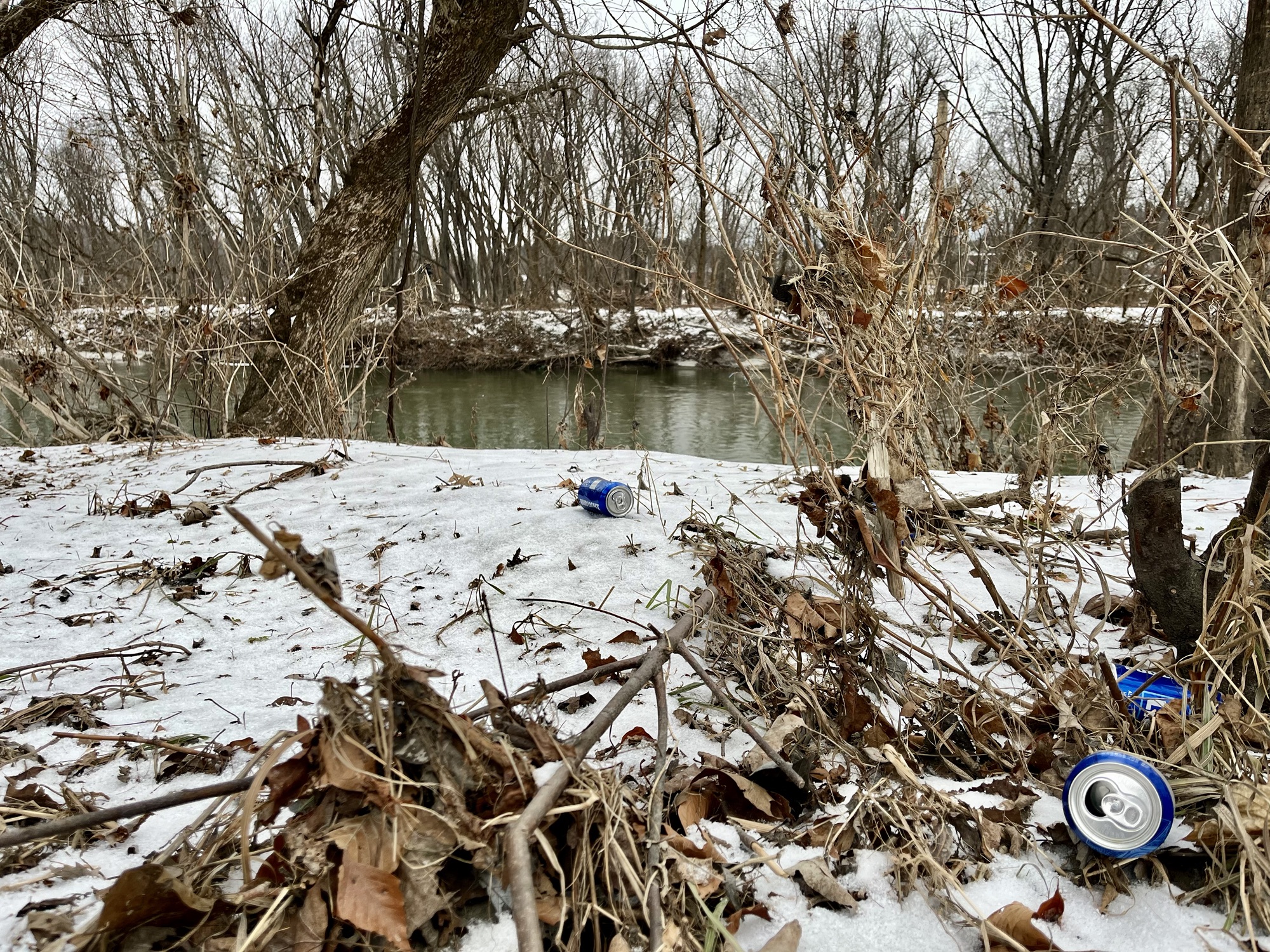
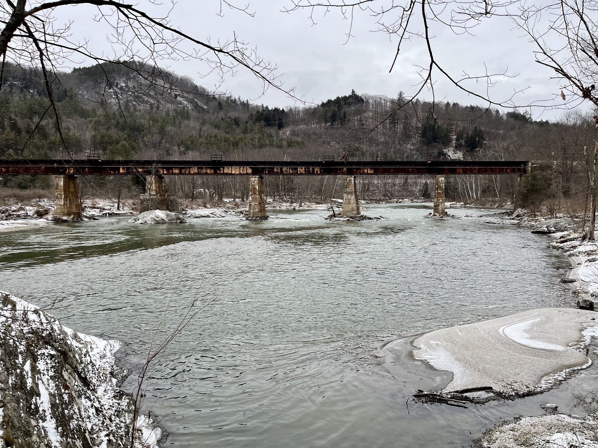
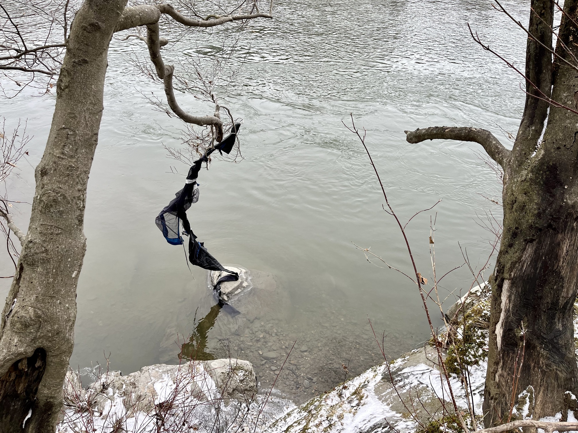
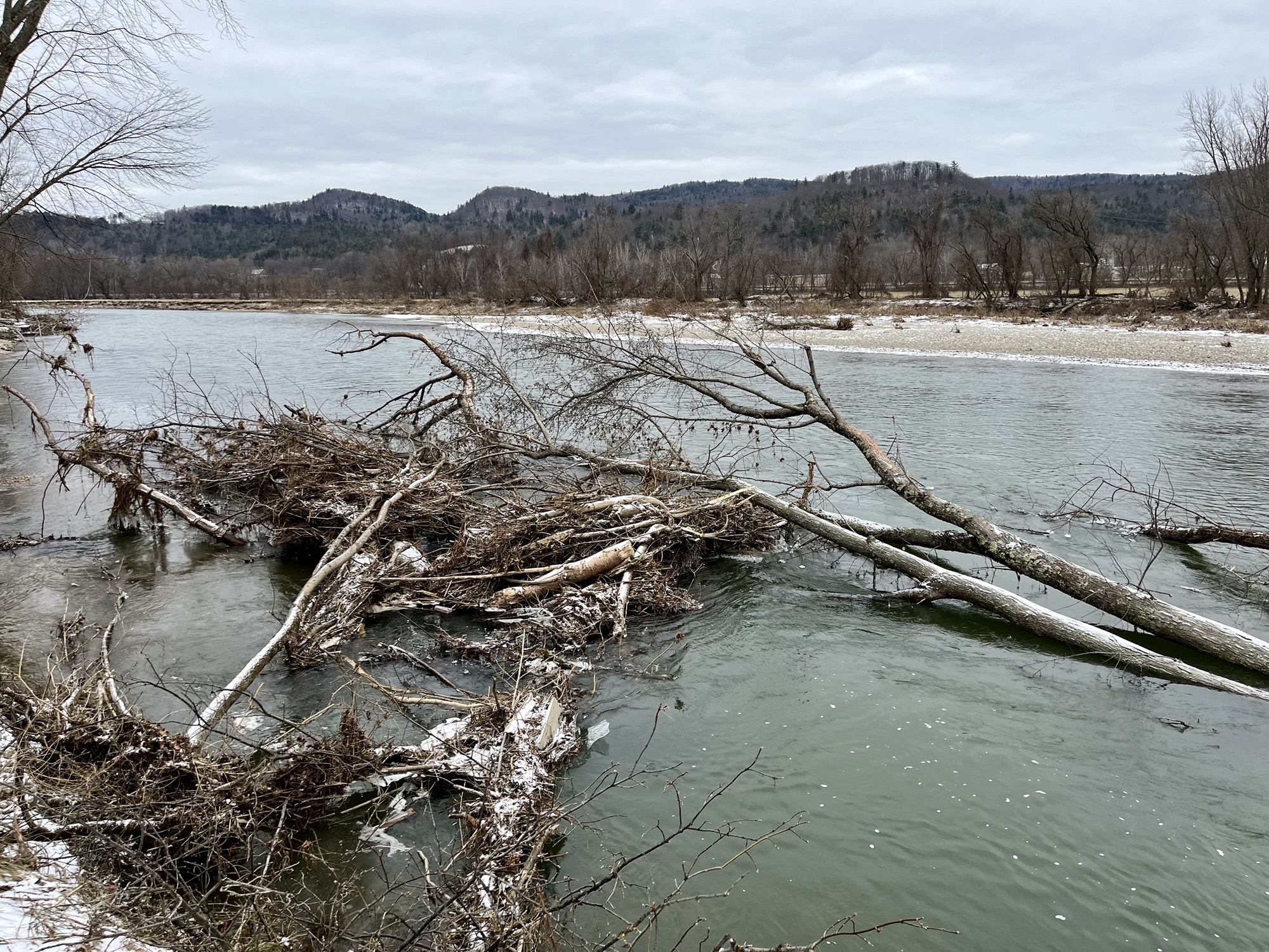
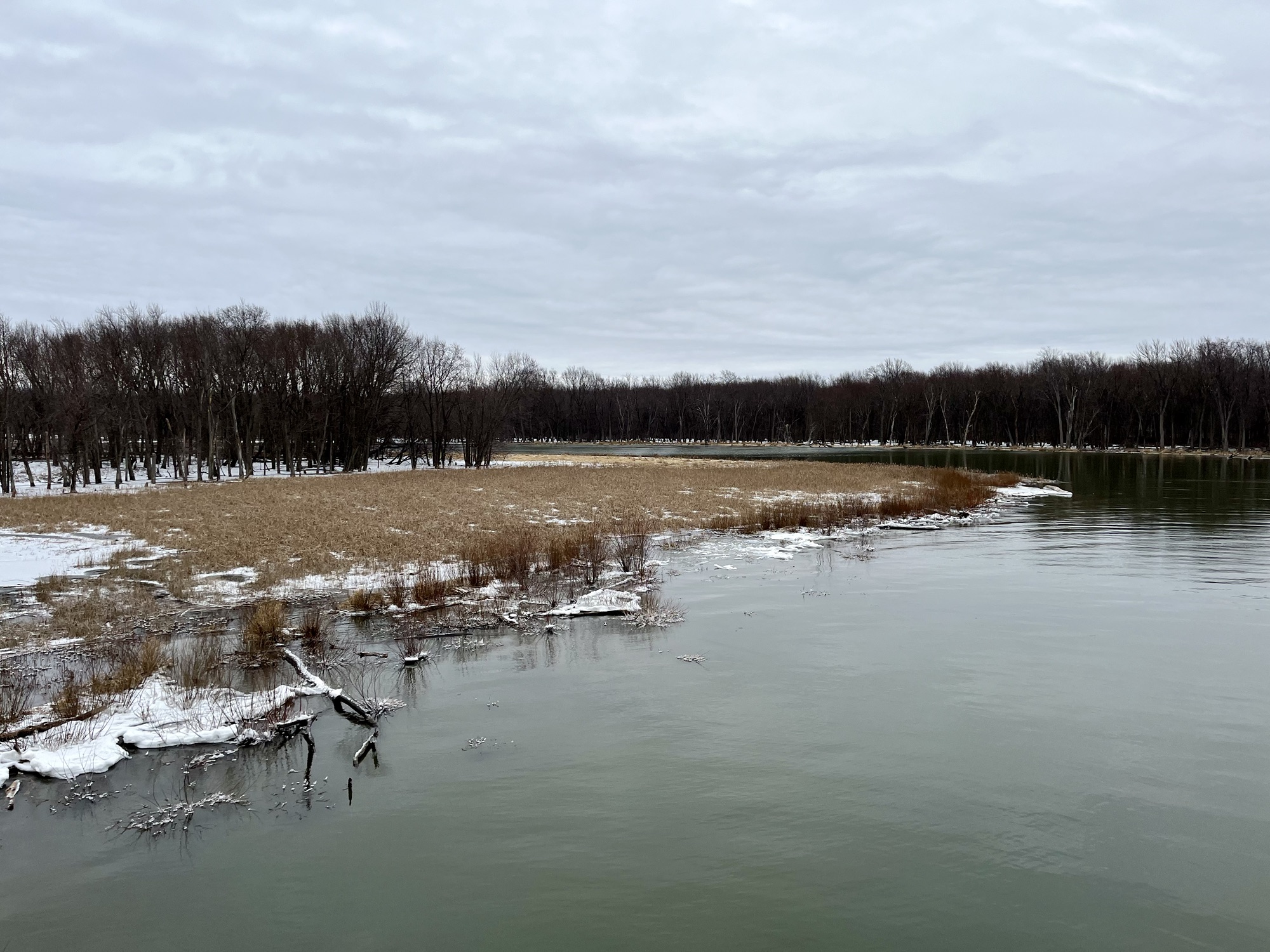
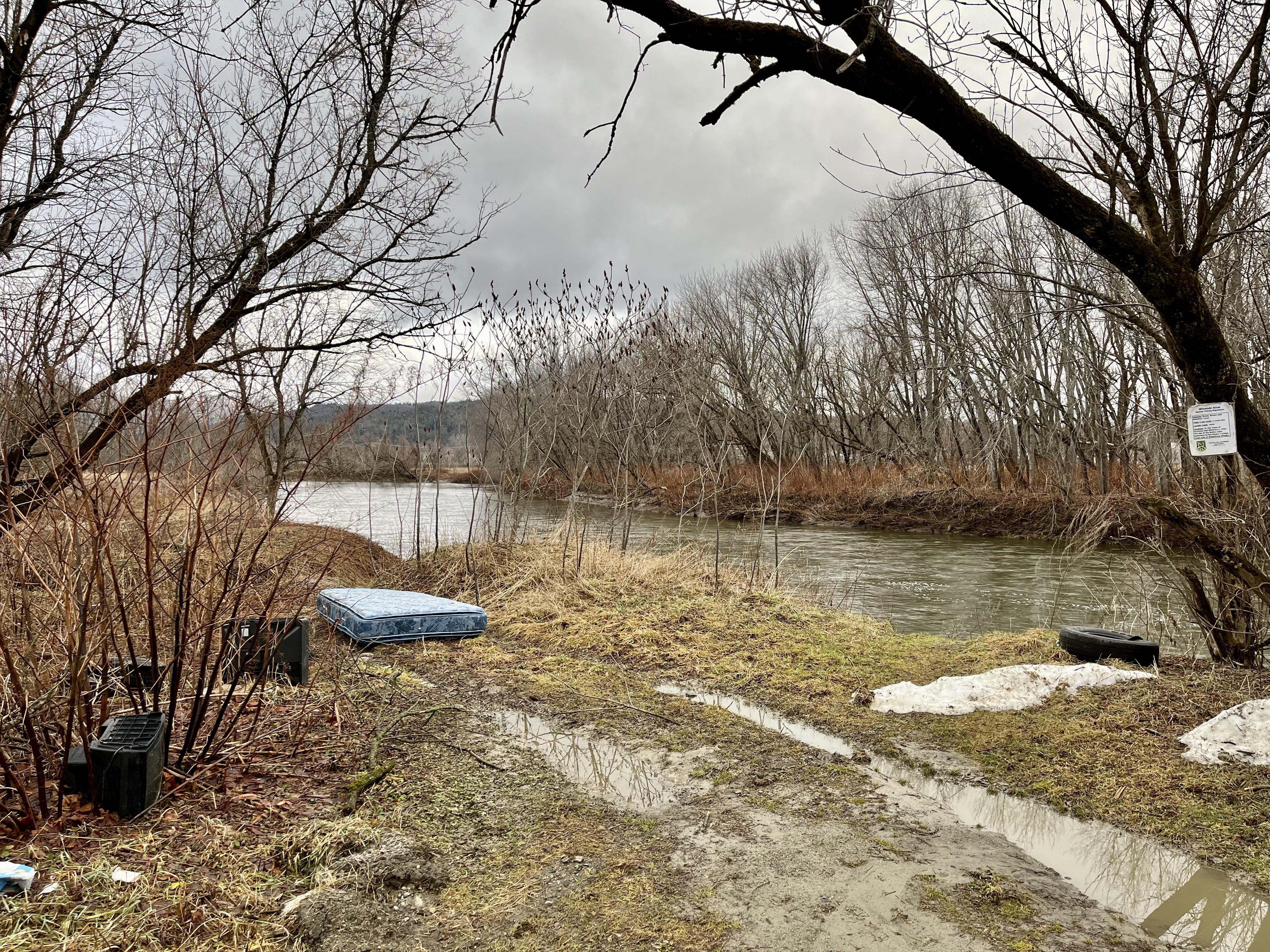
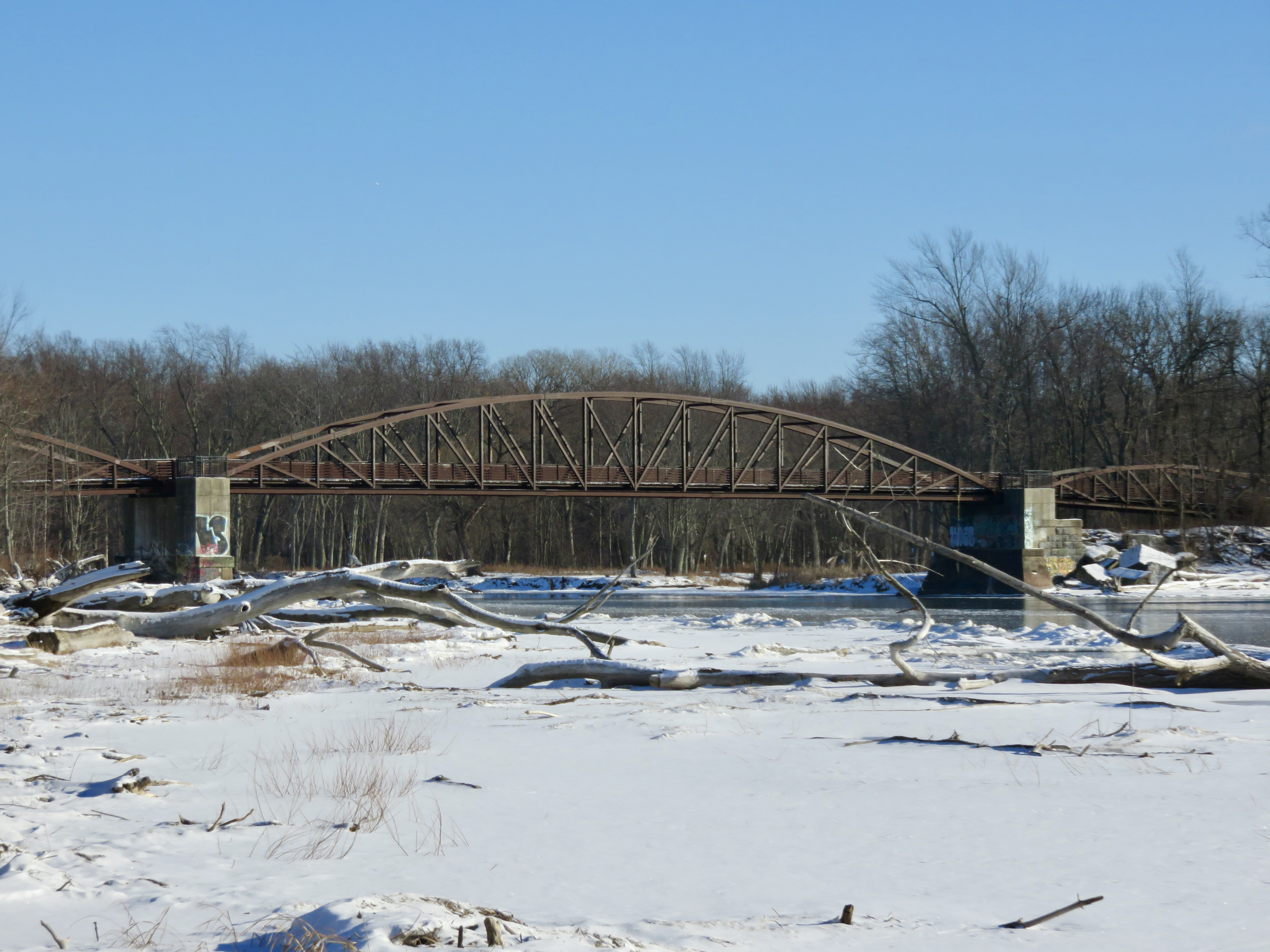
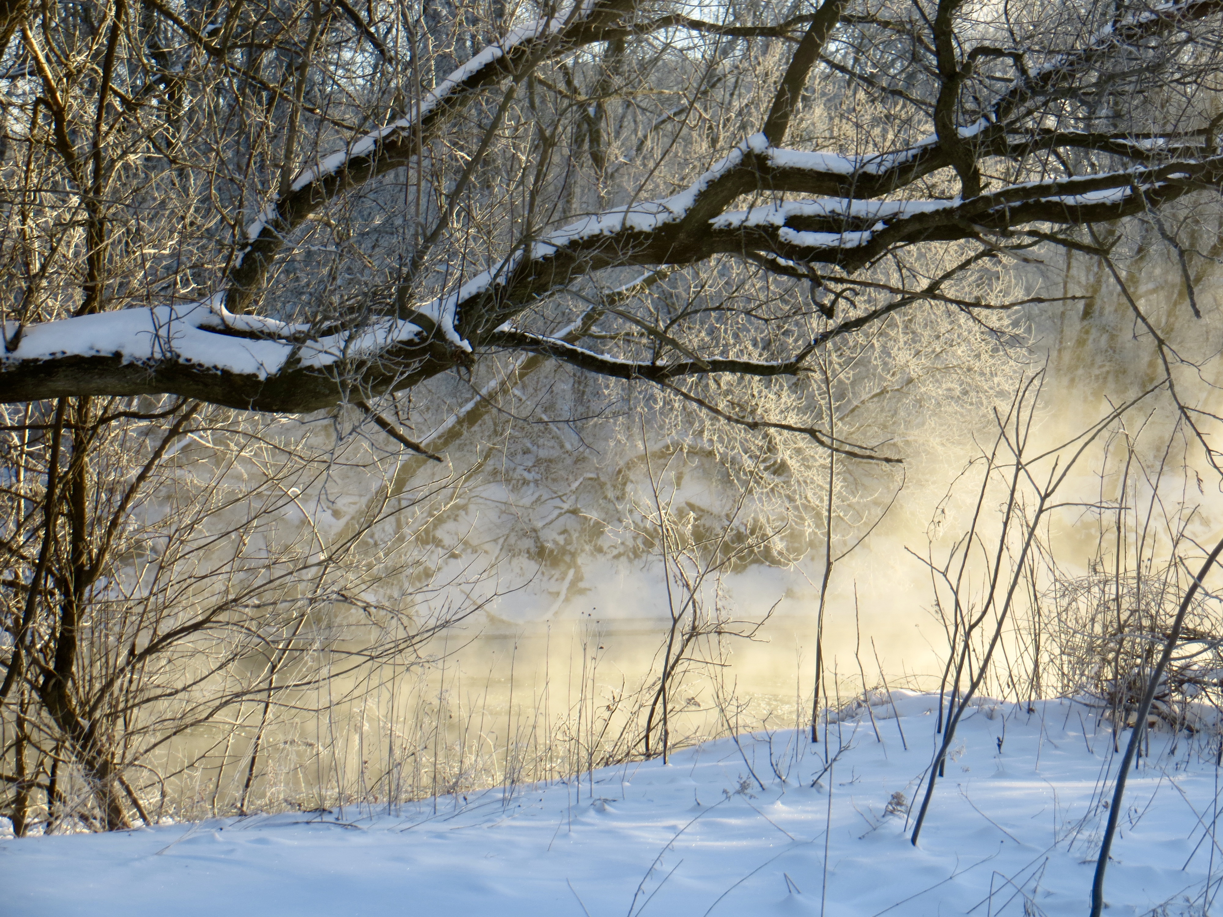
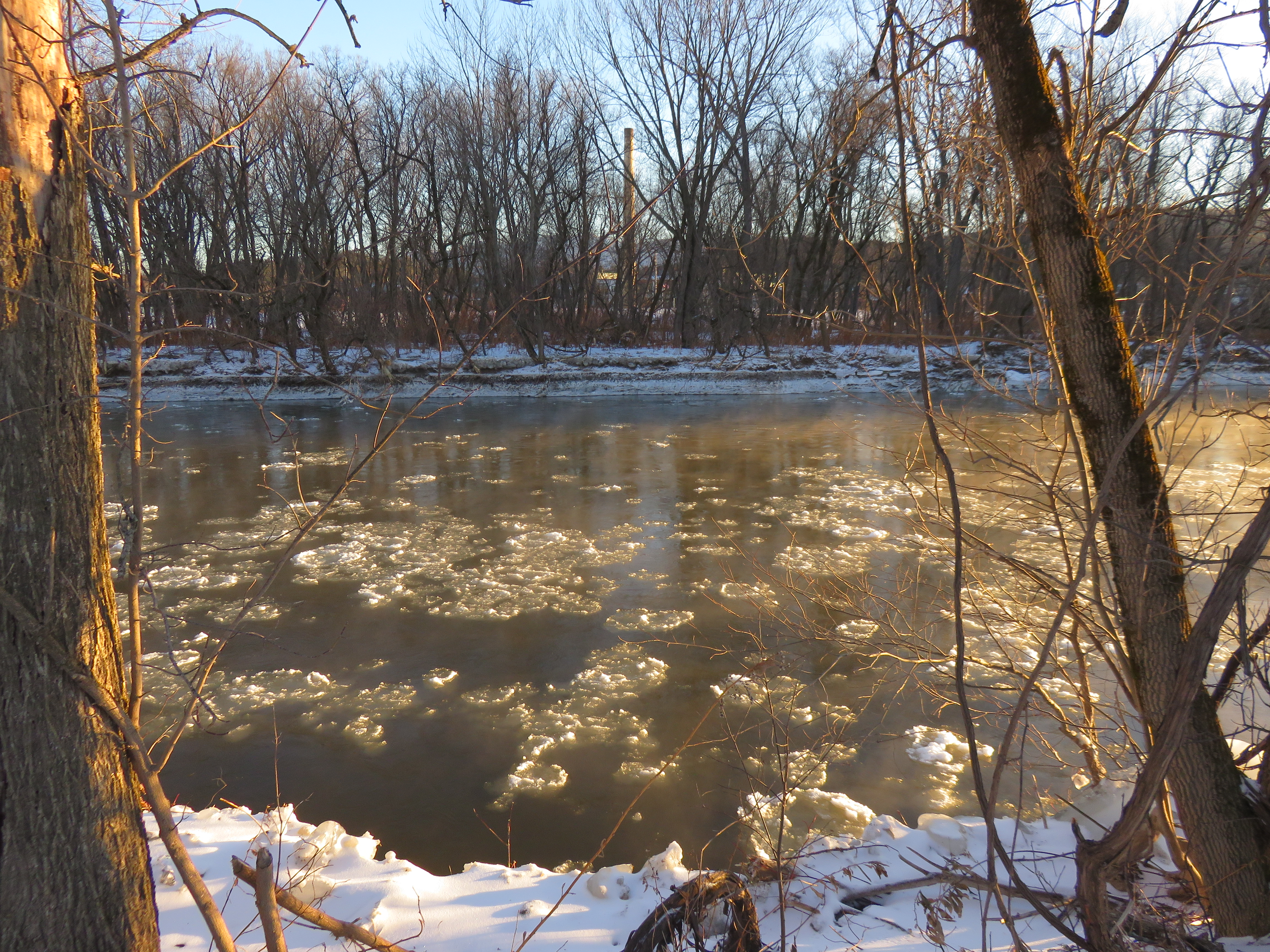
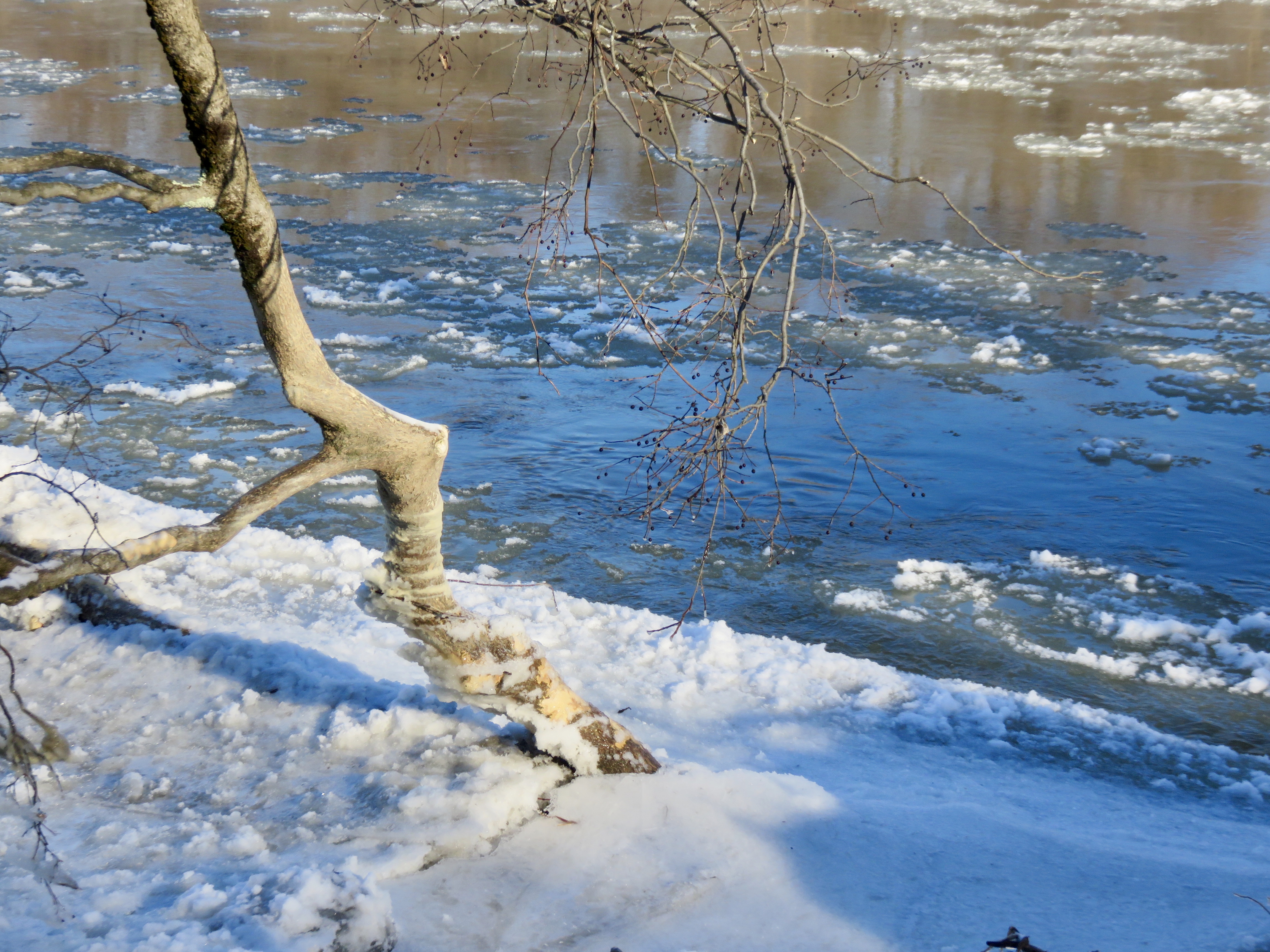
Yesterday I volunteered to look for eagles for Vermont Audubon’s annual eagle survey. My route is the Winooski River, from Waterbury to Lake Champlain. I did see two Bald Eagles, one immature in Williston and one fully mature in Essex. There have been years when I have seen none, so this was a success. It was cold, in the twenties, with a light wind, and a recent coating of snow. I saw some remnants of flooding this fall–plastic jugs half full of oil, lots of branches and leaves, even a complete futon frame. There were a couple of locations I could not go to, closed due to flooding damage, but mostly I had a full survey. Along the way I took a portrait of the river.
River’s edge in DuxburyBridge 31 from WaterburyRailroad bridge Bolton/North DuxburySnagged flood debris, RichmondNext to Jonesville bridgeTree uprooted into the river from recent flooding, RichmondVolunteers Green, RichmondLooking east from North Williston Road bridgeBelow dam on Route 2A, WillistonWoodside Park, EssexWinooski FallsWinooksi River mouth at Lake Champlain
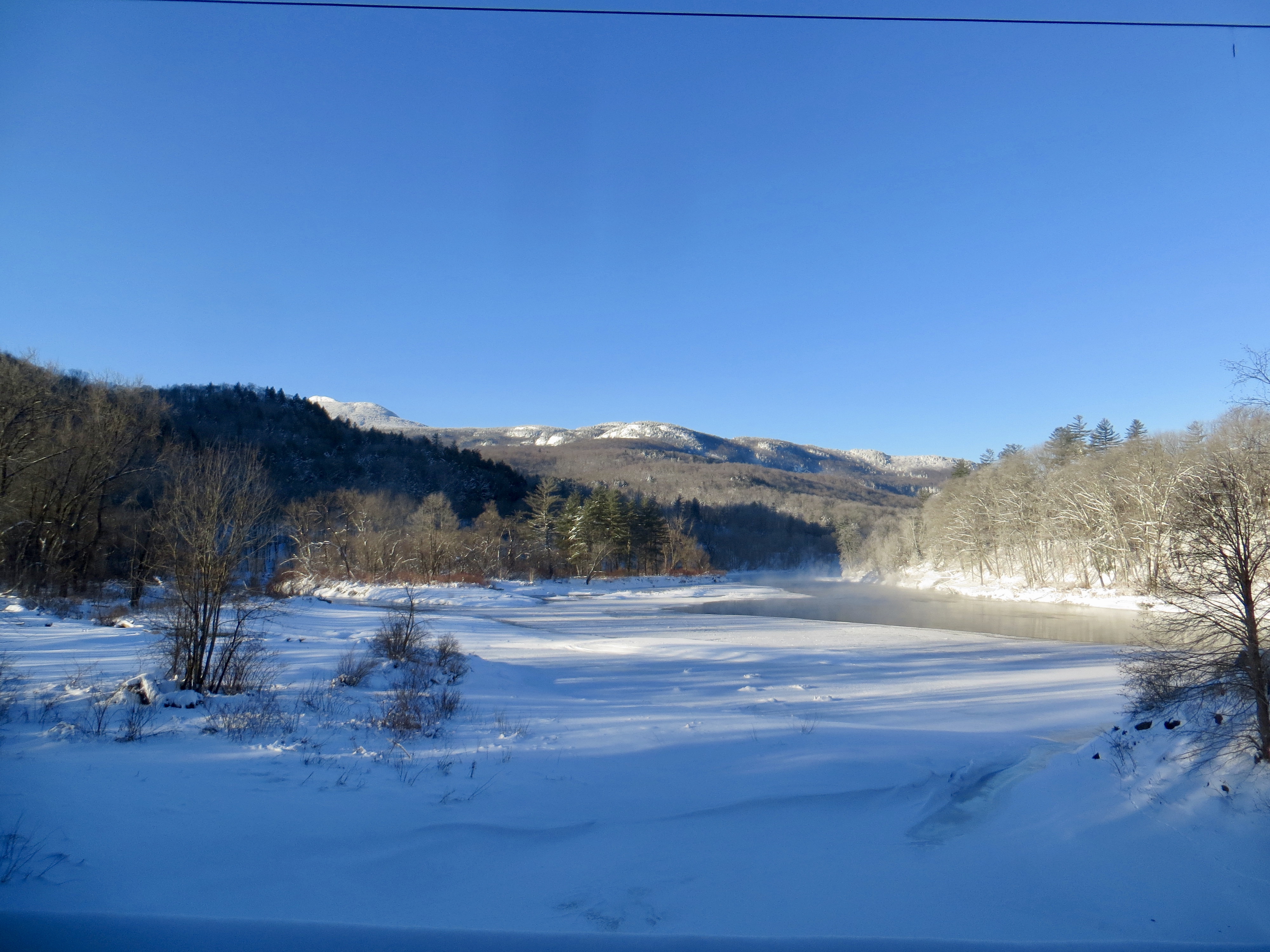
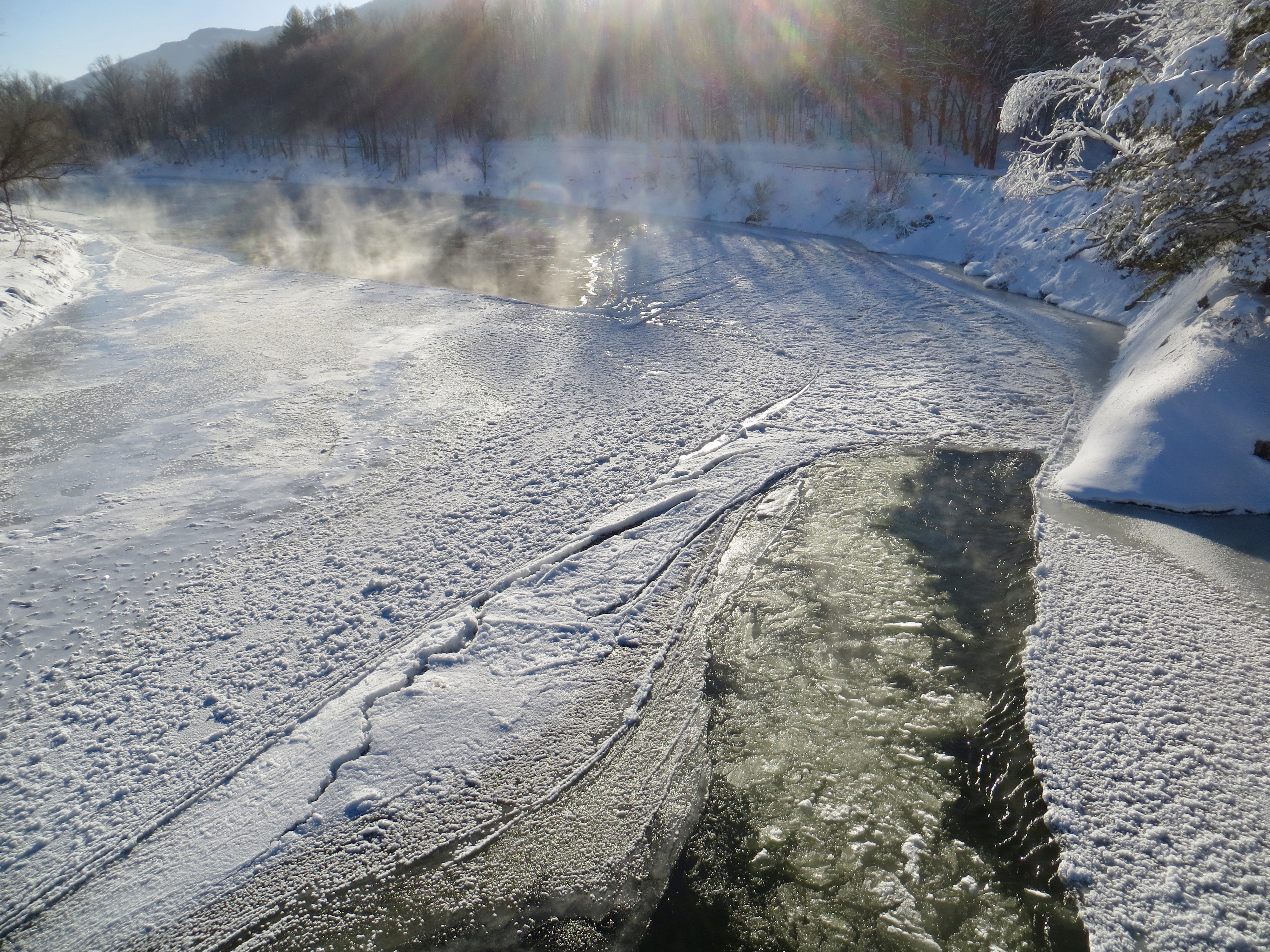
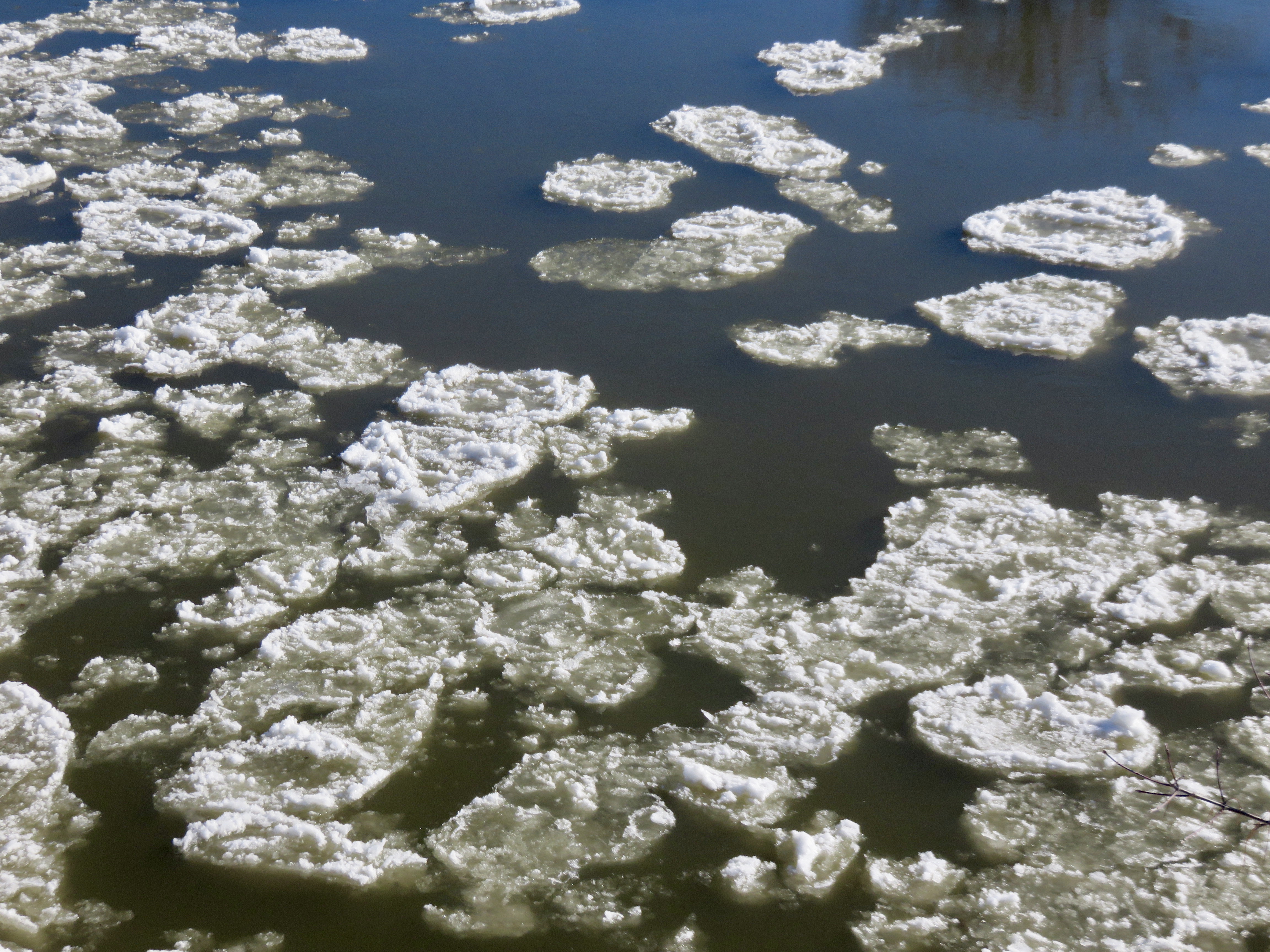
Yesterday I participated in Vermont’s annual Bald Eagle survey, as I have for several years now. My route is the Winooski River, from Waterbury to Lake Champlain. I drive along the river, stopping at several spots to watch carefully, and watch less carefully as I drive from point to point. I did see one eagle, in Williston, and otherwise had a day of it watching a beautiful river that gets forgotten or taken for granted or often just not thought about.
The day was warm, relatively, just above freezing. In some past years I have done the survey with temperatures below zero. There was no ice at all yesterday, although there was fresh snow in the hills. The water was high and powered over the dams and ledges, less tame than last year. Here is my most recent portrait of the river.
Main Street Pull-Off, Duxbury
Next to Winooski Street Bridge, Waterbury
DeForge Hydroelectric Dam, Bolton/Duxbury
Next to the Long Trail, Jonesville, with snow in the mountains
Warren and Ruth Beeken Rivershore Preserve, Richmond
Bridge Near Volunteers Green, Richmond
From Lafontaine Canoe Access, Williston
Overlook Park, Williston
Woodside Natural Area, Essex
River Walk, Winooski
Detritus from Beaver Activity at Ethan Allen Homestead, Burlington
Fishing Access at the End of the River, Colchester
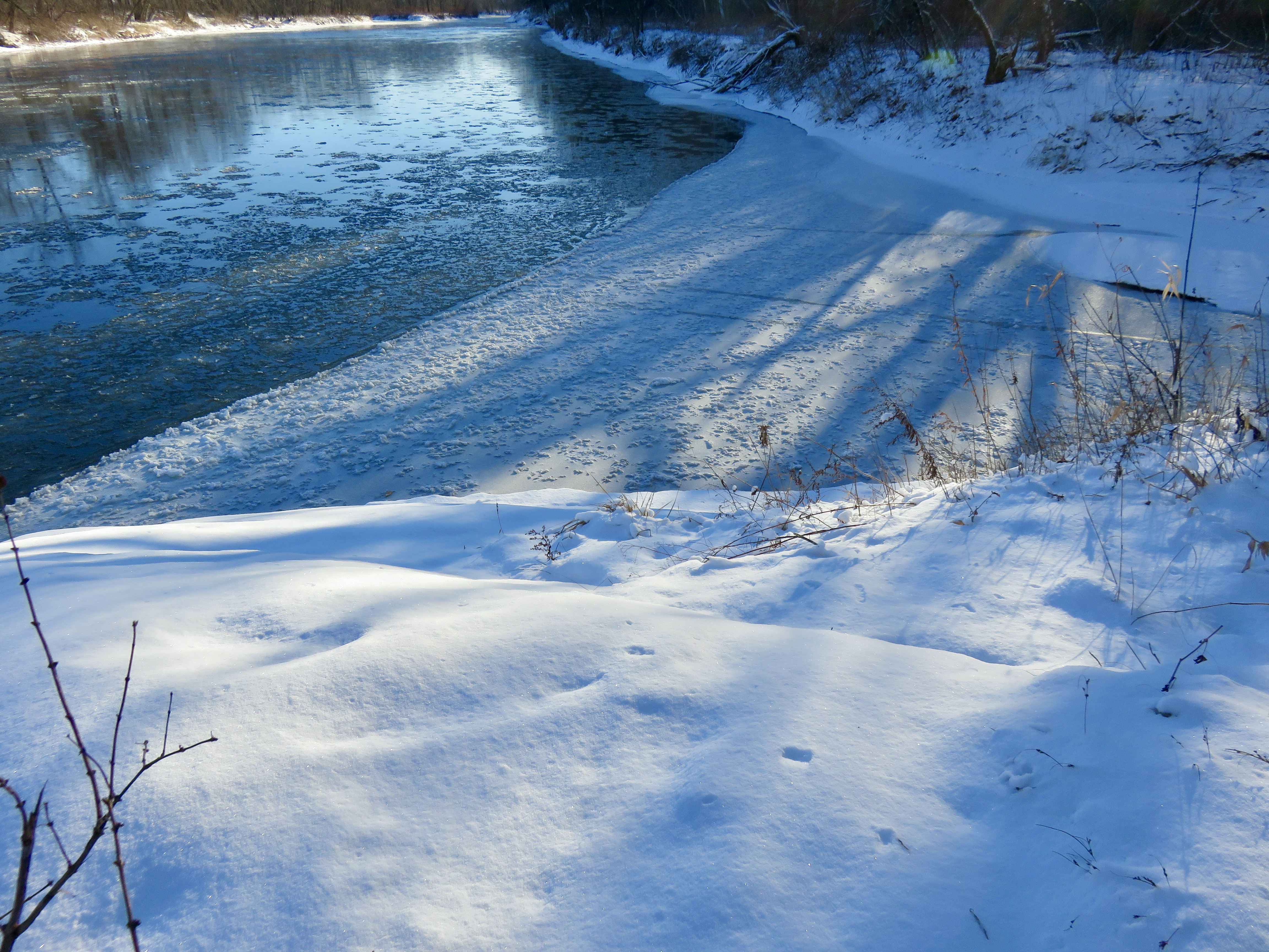
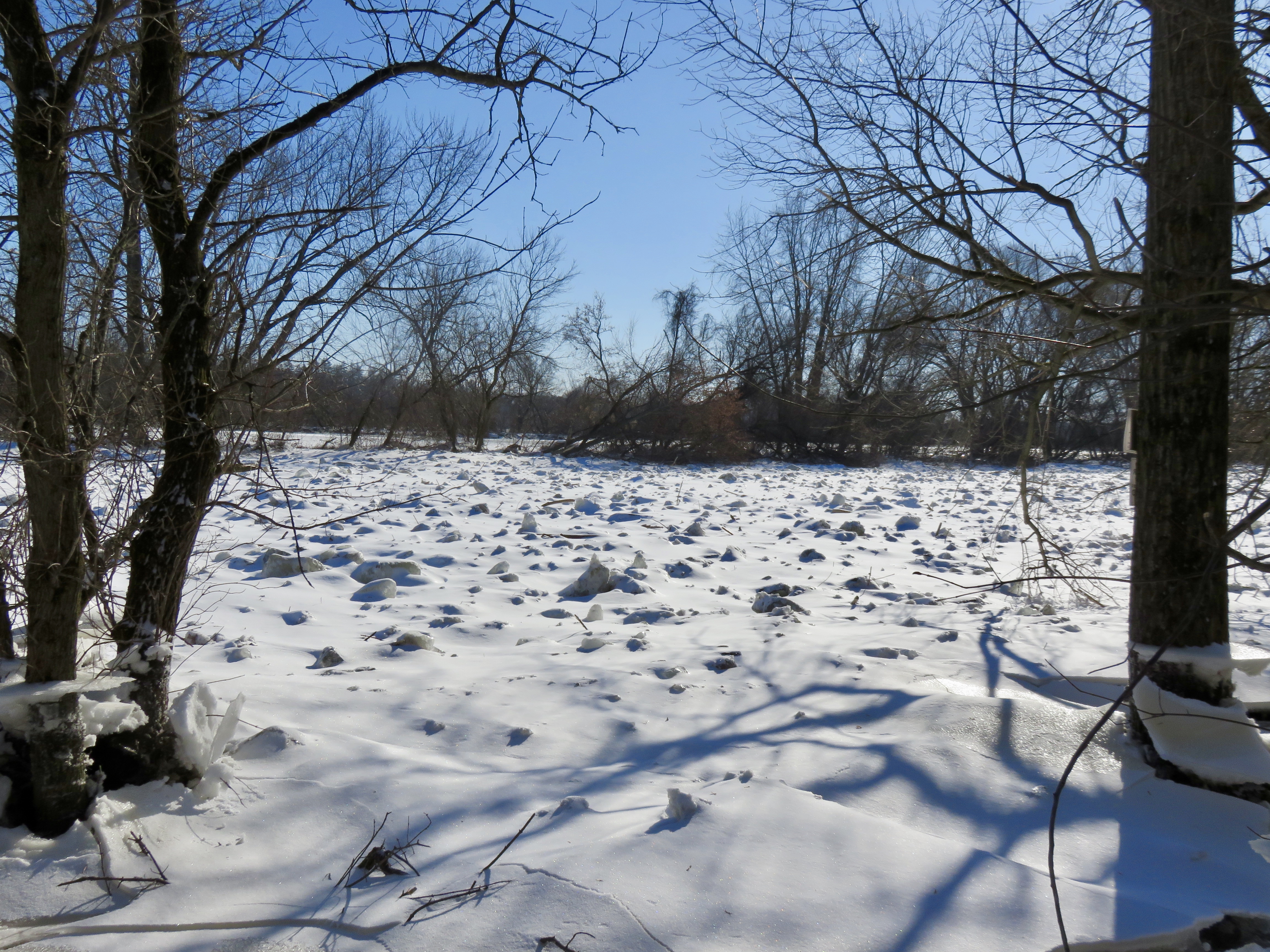
Yesterday I participated in the annual Midwinter Bald Eagle Survey. My route was the Winooski River, from Waterbury to Lake Champlain. I have surveyed this route several years now. While I did not see even one eagle, I did get to see the river in winter.
Last year the day was warm and there was much less ice. Yesterday I started with single-digit temperatures. By the time I was finished in the early afternoon the temperature was considering hitting 20, but had not yet decided.
Here is my portrait of the Winooski River for January 2022.
Close to shore, DuxburyUnder the Waterbury Winooski Street BridgeLooking west from DeForge Hydroelectric Dam, DuxburyNear Long Trail, RichmondLong Trail footbridge, RichmondFrom Jonesville BridgeAt Warren and Ruth Beeken Rivershore PreserveVolunteers Green, RichmondFrom Bridge near Fontaine Canoe Access, WillistonOverlook Park, WillistonWoodside Park, EssexWinooskiBike path bridge where Winooski River ends at Lake Champlain
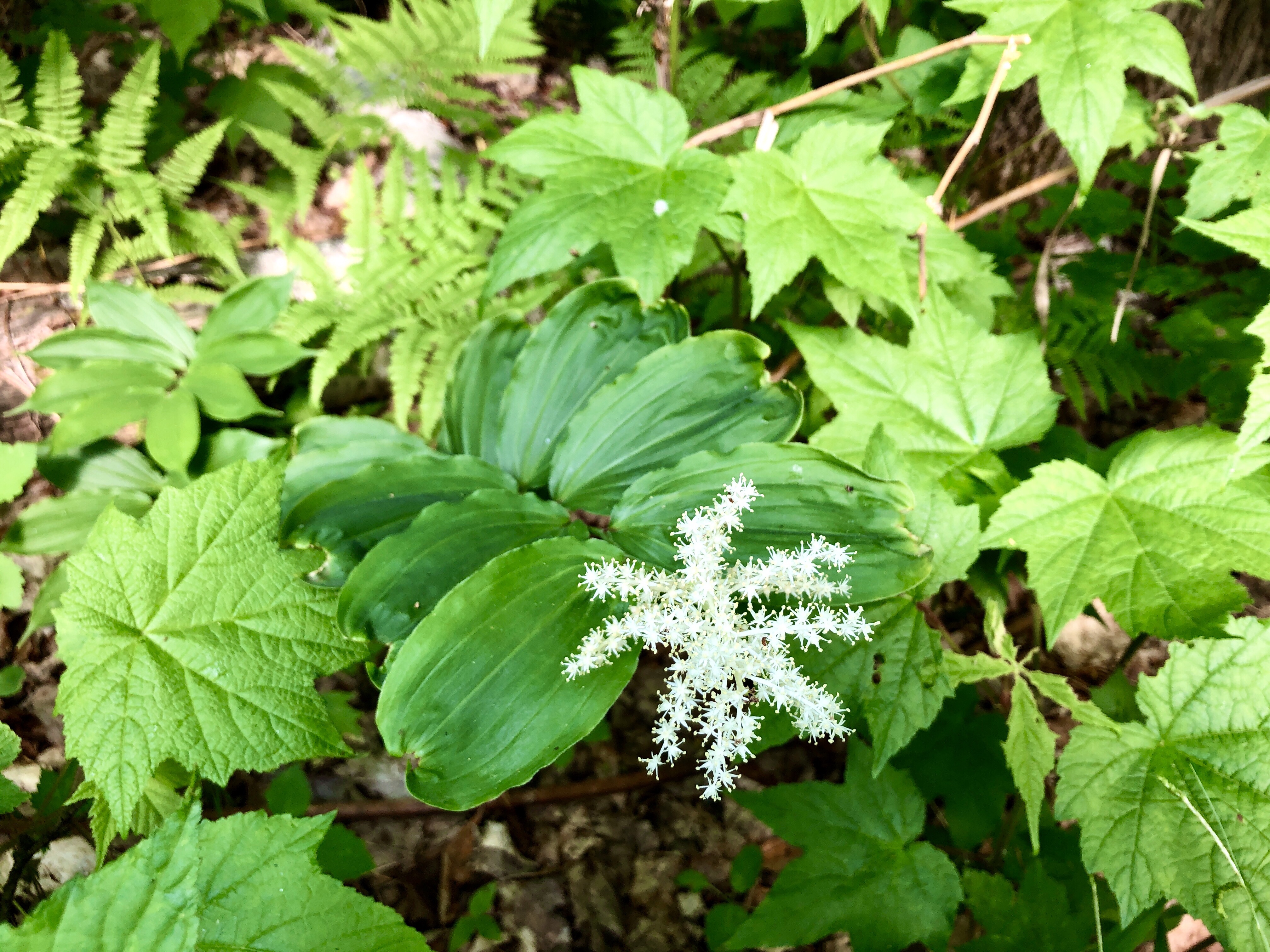
Flowers are out in the woods. I guess it must be spring. I have tried to pay attention to flowers this year. I am curious what I see. I want to know what lives in the world around me. What is that flower? How long will it bloom? Which flowers grow in the woods, or the edge of the woods, or out in the sun? I keep wondering.
Herb Robert
Last year a friend introduced me to iNaturalist. I downloaded the app and have used it a bunch this spring. It is pretty slick–take a photo, get some suggestions for what you see and select what you think you have found. Most of the time it works like a charm–the first suggestion in the list is usually a match. Others can see what you have posted and can confirm your identification or suggest a different one. It has been really helpful in identifying flowers, as well as moths, caterpillars, fungus. It can be used for anything that lives.
False Solomon’s Seal
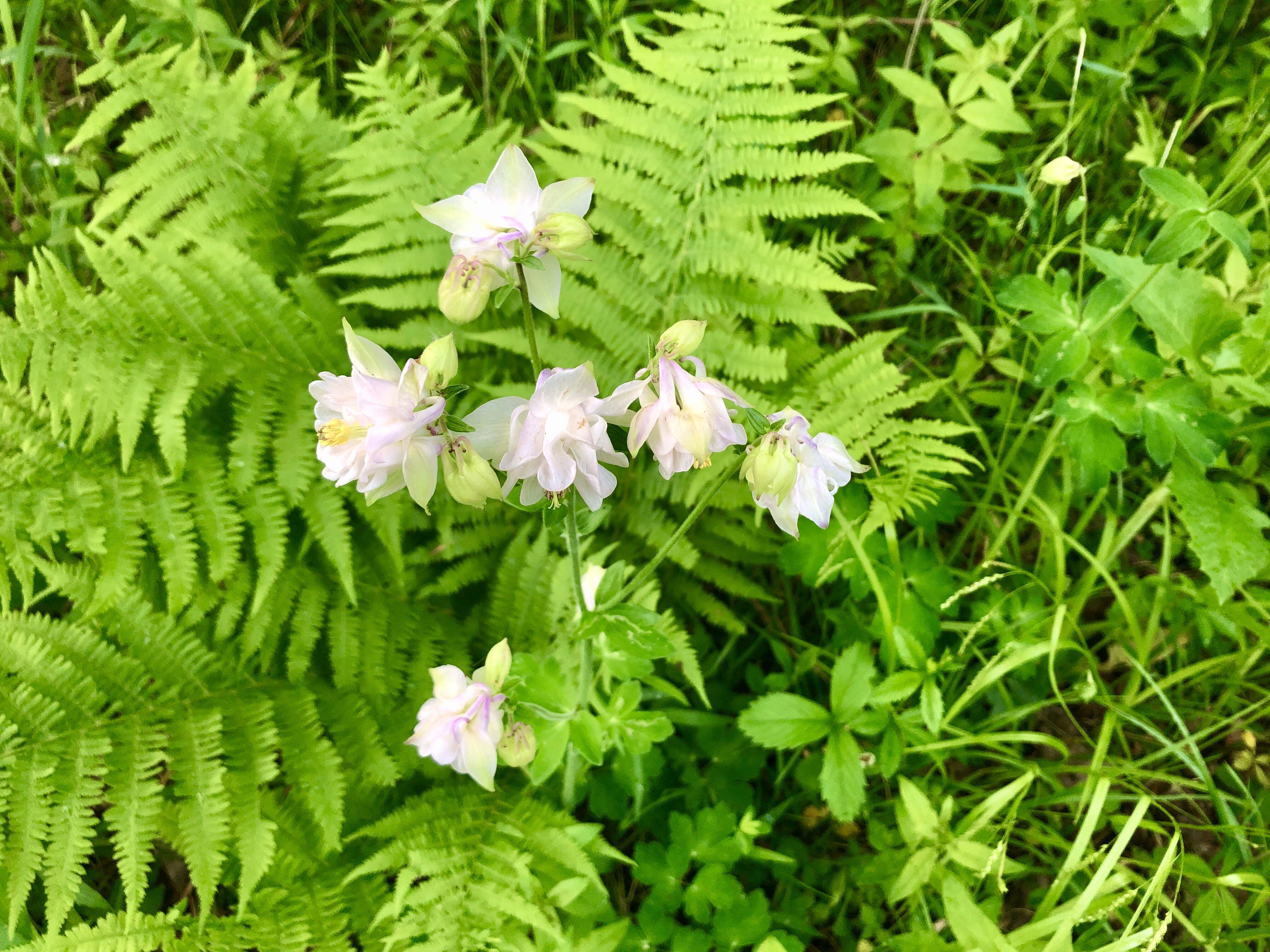
I have added it to my adventures when I go birding. This morning I got so engrossed in trying to identify some white flowers (they were Columbines but I did not realize they could be white as well as purple), that I found I was tuning out the sounds around me. I had stopped listening for birdsong. I had to bring myself back into the audio sphere in the trees once I walked away from the flowers on the ground.
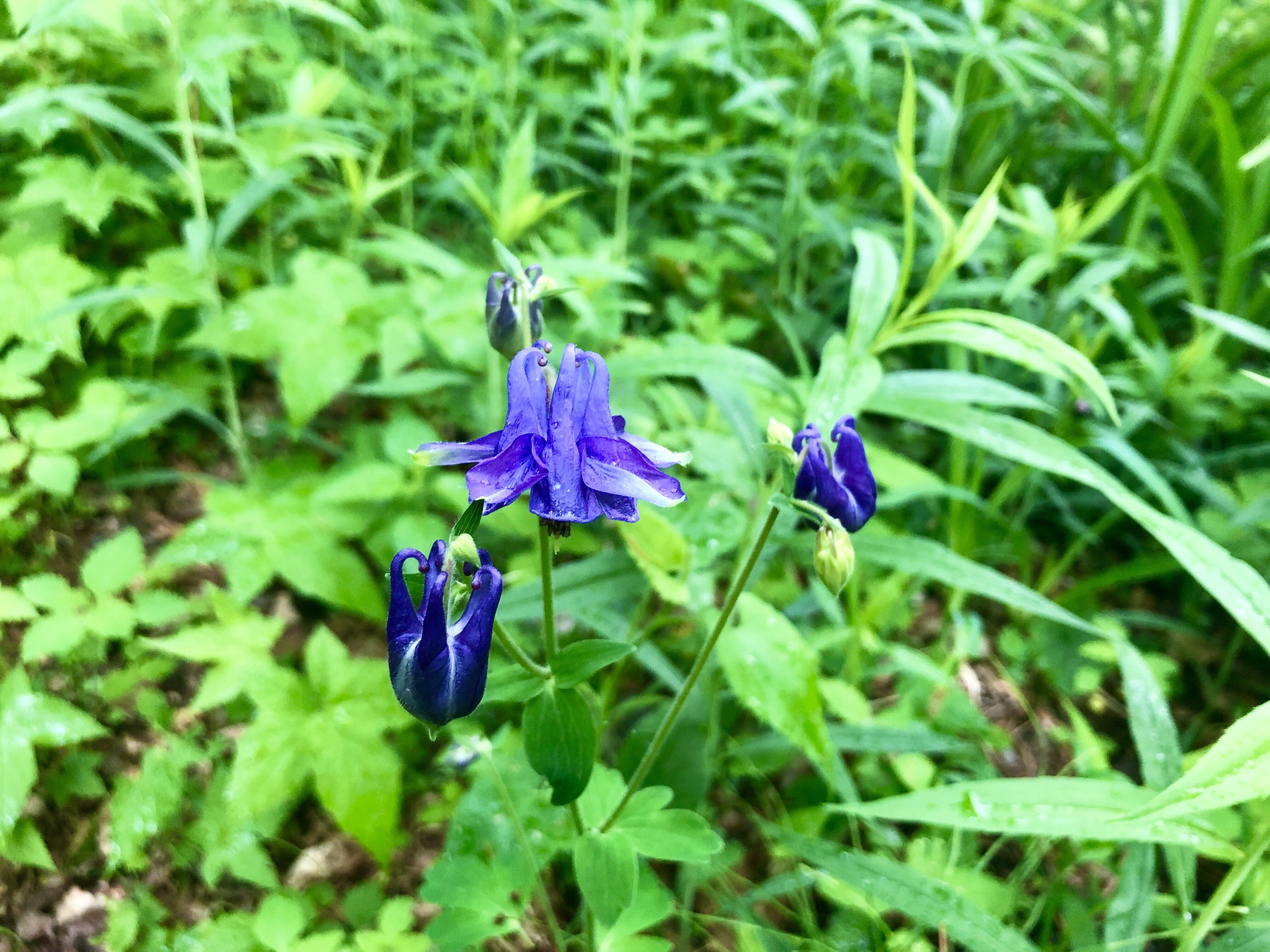
Common ColumbineCommon Columbine
Many of these flowers will be gone soon. They are ephemeral. Others will bloom, however, as the summer progresses. I will keep trying to identify them. Some day I may know when to expect them to bloom, and when the next flowers will appear. I am not there yet, of course, but I keep learning. I can’t keep my curiosity in check, so I will keep wondering. And I will keep trying to answer “What is that?”
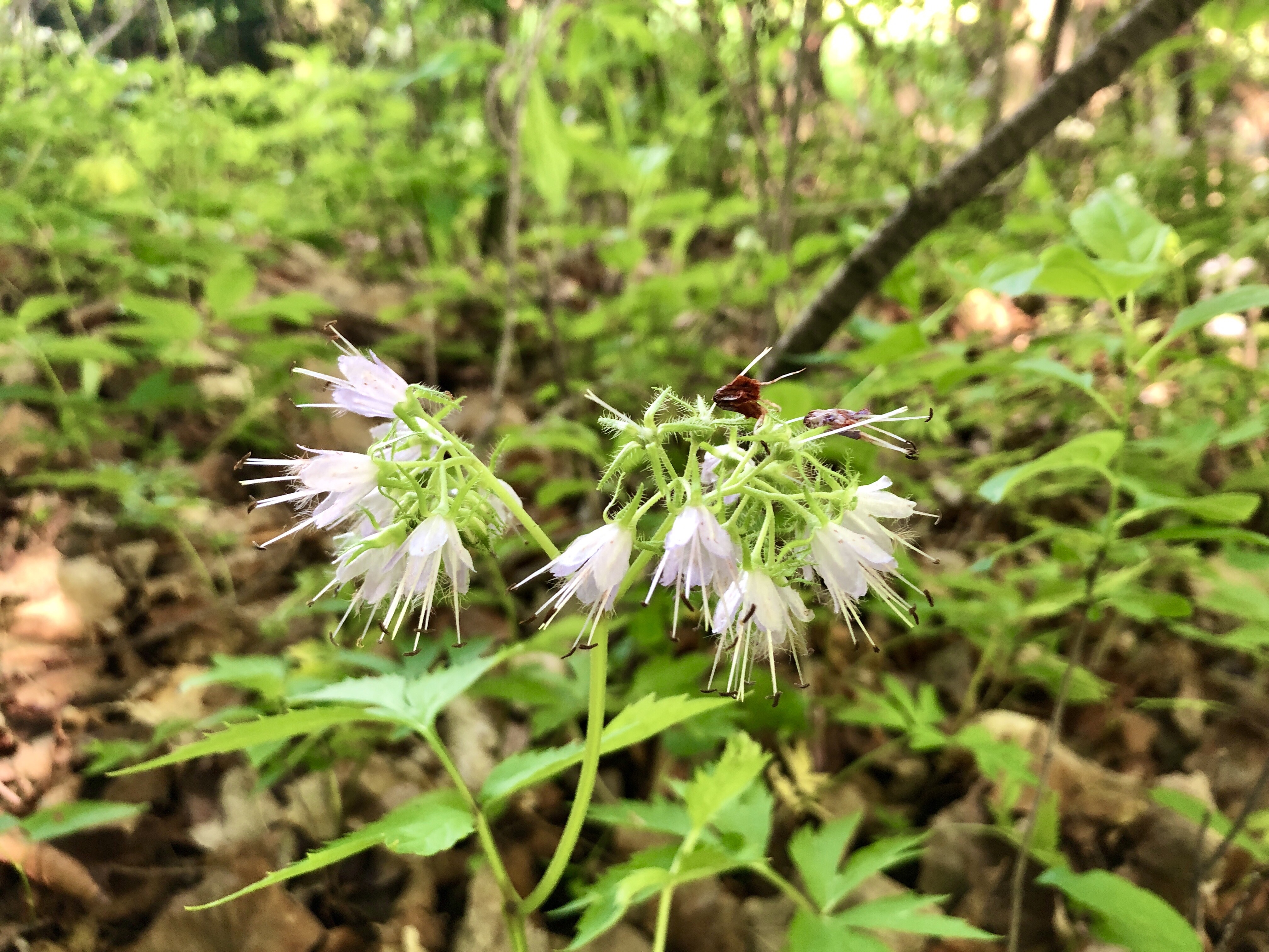
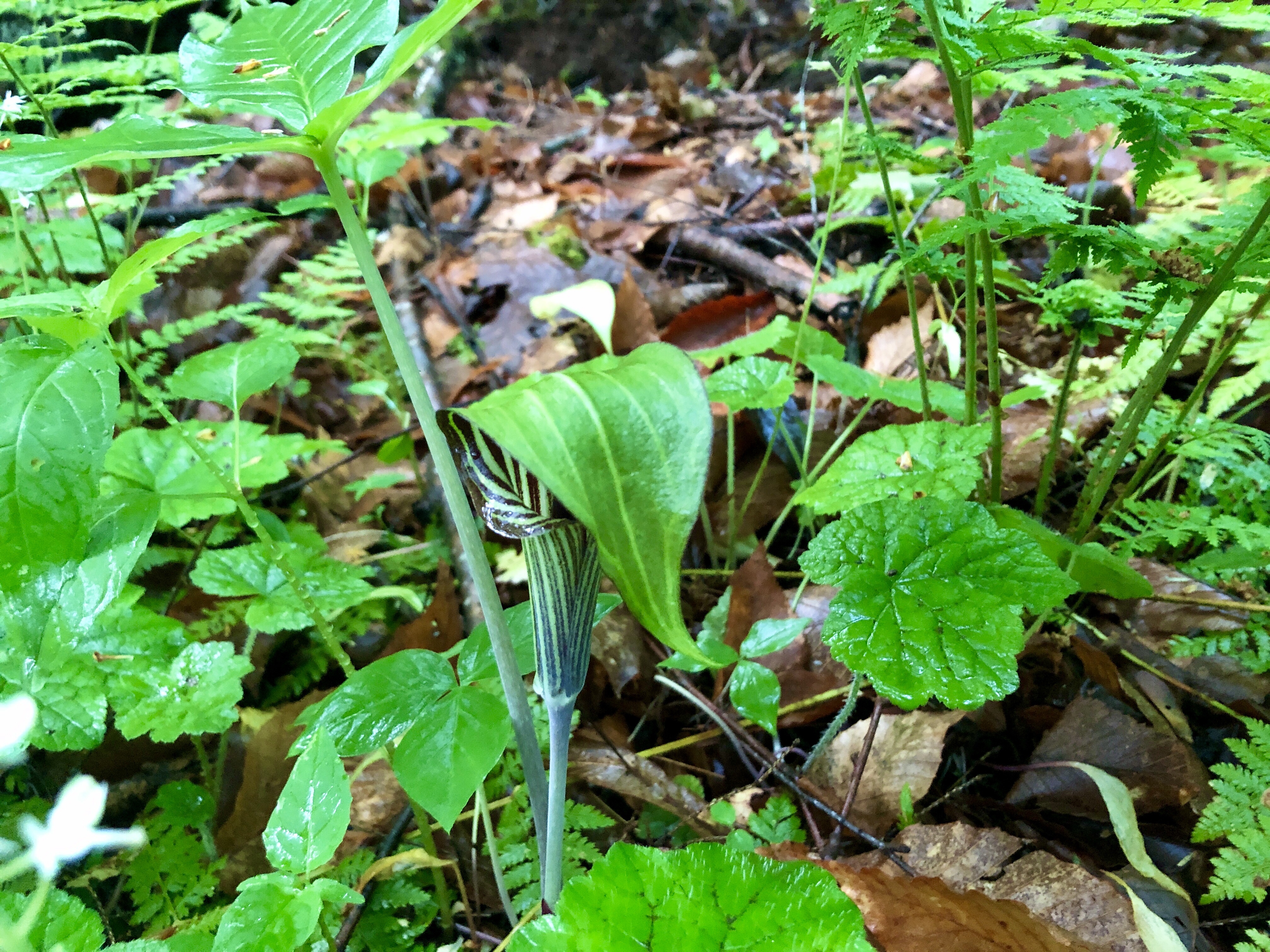
Golden AlexanderCanada MayflowerVirginia WaterleafJack-in-the-Pulpit
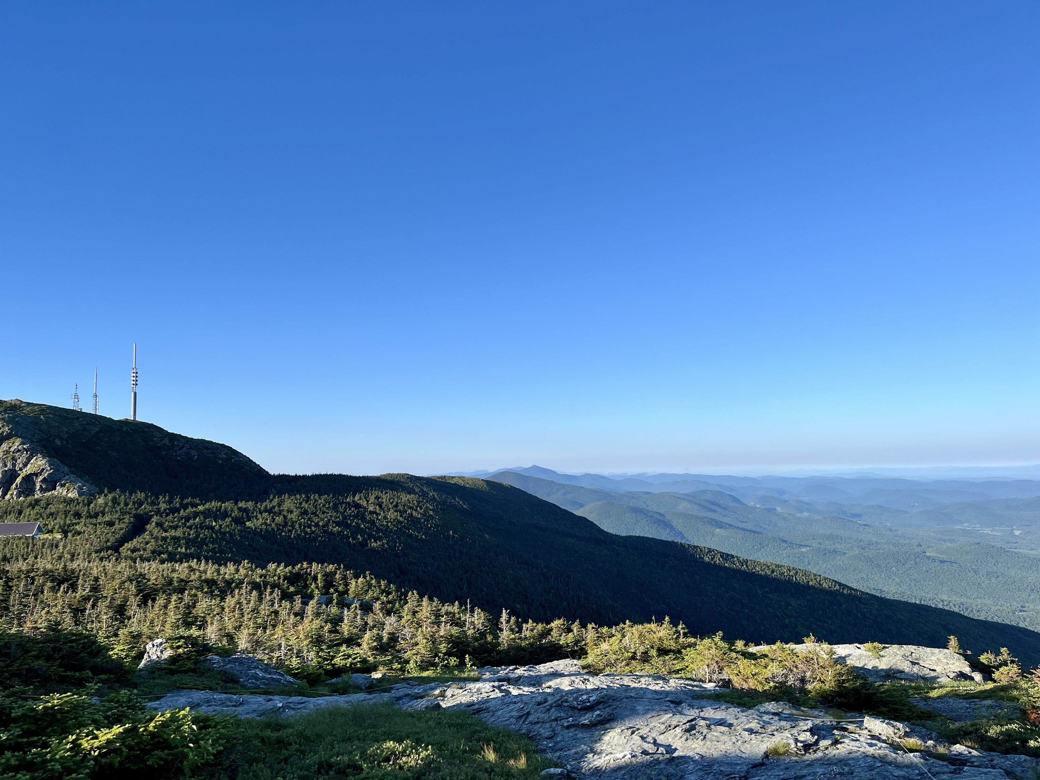
View from the Long Trail north of Bolton Mountain peak
I have been participating in Mountain Birdwatch for a couple decades now. I started with Ricker Peak, which is in Bolton. That worked out great, since we lived in Bolton and I could walk out the door and hike to the survey route. But the survey got a makeover about ten years ago and that route was eliminated. I took on a route on the Worcester Range after that, which had its own charms, but I switched it up this year and volunteered to survey Bolton Mountain instead.
This route was right in my old stomping grounds so the hike in was familiar. I hiked in mid-day and scouted the survey points along the route, in reverse order. I hiked up and over the peak, then down to Puffer Shelter on the Long Trail, just beyond the first survey point. There were two other hikers planning to spend the night there, but I sent up a tent nearby. It was pretty much a stellar day for a hike–sunny and warm with good views when I could get them.
Bunch berries were blooming along the trail
I didn’t exactly have a tent. I brought a bug shelter–really light and roomy enough to be comfortable, but not a solid shelter in rain or high winds. The thing was ideal. I had scouted the route and gotten to the shelter way early, so I had a few hours before I had to try to sleep, even though I was planning to hit the hay earlier than I usually do. There were black flies and lots of them, so I snacked and read in my handy shelter. I did hang out in the shelter for a little black-fly-swatting conversation (one guy hiked in just to spend the night there after seeing the shelter for the first time on a Long Trail through-hike last year, and the other had hiked north from West Virginia), but once out of the bugs I easily fell asleep.
I rose at 4:00 and, after packing up, walked with a headlamp to the first survey point. While I know the routine of this project well, I enjoy it every time. I heard Bicknell’s Thrush, which is just always a treat, and my first Yellow-Bellied Flycatcher of the year. Hearing those birds and, sitting in the shadows of spruces, thinking about the long journey they make to get to that spot, I am awed again and again.
I paid careful attention and wrote it all down, and reflected in between survey points, and overall had a pleasant day. I hiked all the way back to the car and was out of there in time for breakfast. Just at the trailhead I ran into a guy from Montreal (it was a national holiday weekend) who had come down with his family and was looking to hike up Bolton Mountain. I told him how to get there and he mentioned he and his wife had a baby in a backpack. While I admired that and remembered carrying our own kids that way, I also couldn’t help thinking of the black flies. They like babies. I tried to warn him but he did not seem to know what they were. I guess they don’t have those in the city. I hoped it worked out.
I stopped for coffee and a muffin at Sweet Simone’s in Richmond and made it home by late morning. It is hard not to be a little tired after rising before dawn, but I felt great. Being in the mountains does that for me. I did not do a whole lot the rest of that Sunday. I dried out the bug shelter and put away my supplies and entered my survey data. Later in the day, we all went out for a creemee. Perfect summer day if you ask me.
I definitely got one of the plum routes. Mount Mansfield is the highest mountain in Vermont and surveying the Mountain Birdwatch route up there means watching the sunrise with no one else around from the highest peak in the state. Pretty sweet. I went up there a few days ago. I had a fine experience.
Mountain Birdwatch is a program to study high elevation songbirds in the northeast with citizen science volunteers. It means hiking a specific route, about a mile long, with five or six specific points. It means stopping at those points and counting ten bird species, plus red squirrels, for 20 minutes. The hardest part is learning the bird songs and calls, since they hardly show themselves in the dense spruce/fir forest. This is my 19th year volunteering, so I’ve got those songs and calls down.
One of the reasons this is a plum route is that I get to drive up the toll road, which is open for paying customers during the day. Stowe Mountain Resort gives permission to Vermont Center for Ecostudies, which manages Mountain Birdwatch, to use the road for research. Scientists from VCE go up there a few times each year to catch and band birds. They were up there a few days before I was. They set up mist nets and check out the avian critters that get snagged. So I get to benefit from the perk of using the road. It makes for a much shorter hike and I can be home in time for a late breakfast.
Stowe even allows VCE staff to stay in the ski patrol hut up there so they can get up early and get to work. I have done that in the past but this year I just rose early (2:00!) and drove over there. After some serious finagling with the lock, which was a bit stuck, I got through the gate and slowly drove up the twisting gravel road. The speed limit is 15 and that is definitely the limit on this road. I parked in the small lot by the visitor center and hopped right onto the Long Trail.
I heard few birds, at least compared to previous years. I did hear Bicknell’s Thrush, which breeds only in that habitat, but no Yellow-Bellied Flycatcher or Swainson’s Thrush, which was just odd. I always hear those birds up there. Until this year. So it was a quiet morning. There was hardly even any wind.
I have found Blackpol Warblers in greater numbers down in the valley this year; I do sometimes hear them in the spring as they pass through on their way toward higher locations, but I have heard a lot of them down low this year. I am guessing that birds are just slow to head up the slopes this year. There was still quite a bit of snow up high, although not on the trails. That’s my theory.
I have another route to survey. I traded my usual route in the Worcester Range for one on Bolton Mountain. I will need to scout that one first so it will definitely take longer. I can’t drive most of the way up the mountain on that route, and I haven’t seen it before, so I will need to find the survey points ahead of time–I don’t want to be trying to find obscure spots along the trail in the dark. It will give me another chance to find the birds I missed on Mansfield. So here’s hoping the weather holds.
I took part in the mid-winter Bald Eagle survey today. Yesterday was the target day, but I have been out of commission with a cold for a week. I tried to go into work on Wednesday, but I left early. I felt like garbage. I stayed out the next two days. Today, finally, I felt OK. Yesterday I was on the mend but I am glad I rested.
I saw zero Bald Eagles. There were not a lot of birds out in general. The day started at -6º Fahrenheit. It got as low as -9º. It was 11:00 before I saw the thermometer rise into positive territory. Our high was 13º. I guess the eagles were not interested in the cold. As I have the past two years, I took photos along the way. Here is my Winooski River portrait for this cold day.
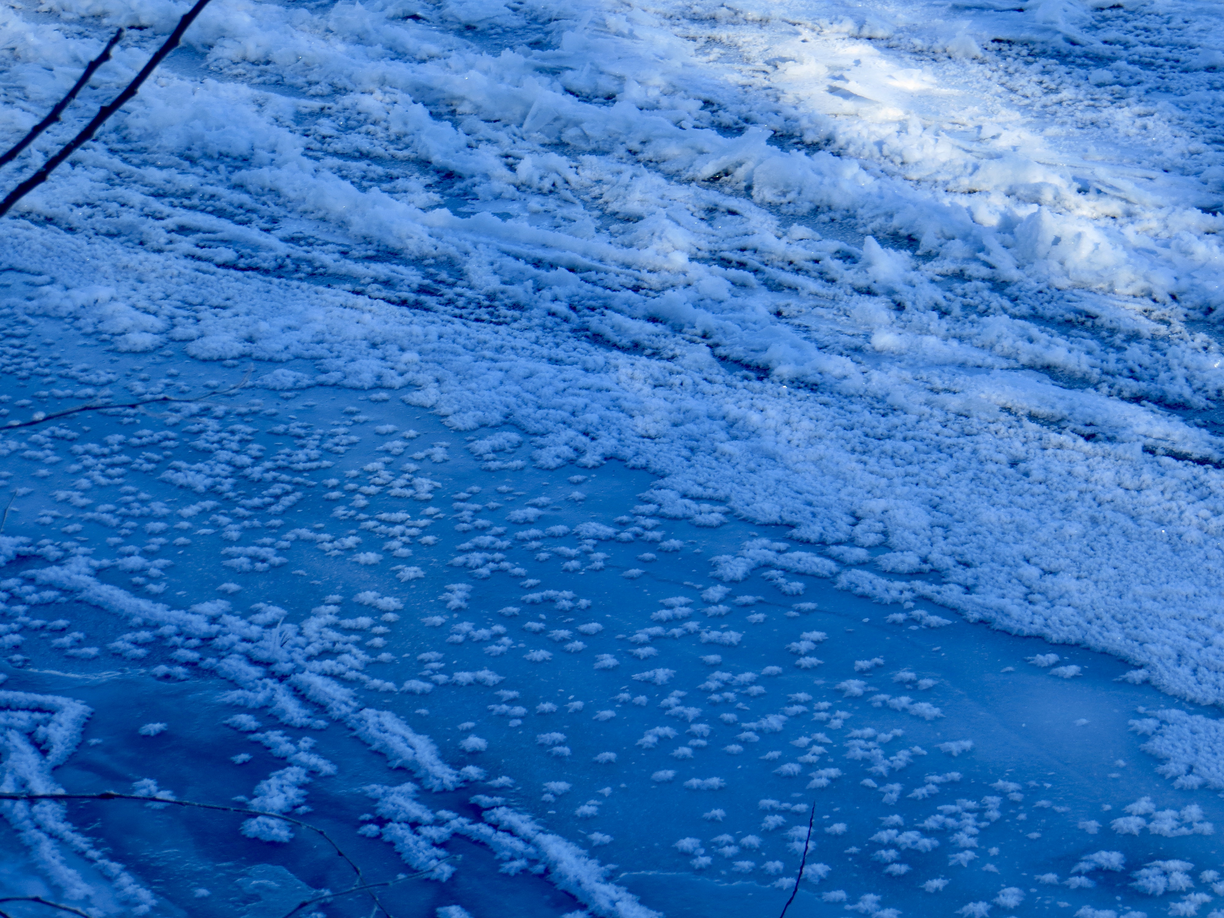
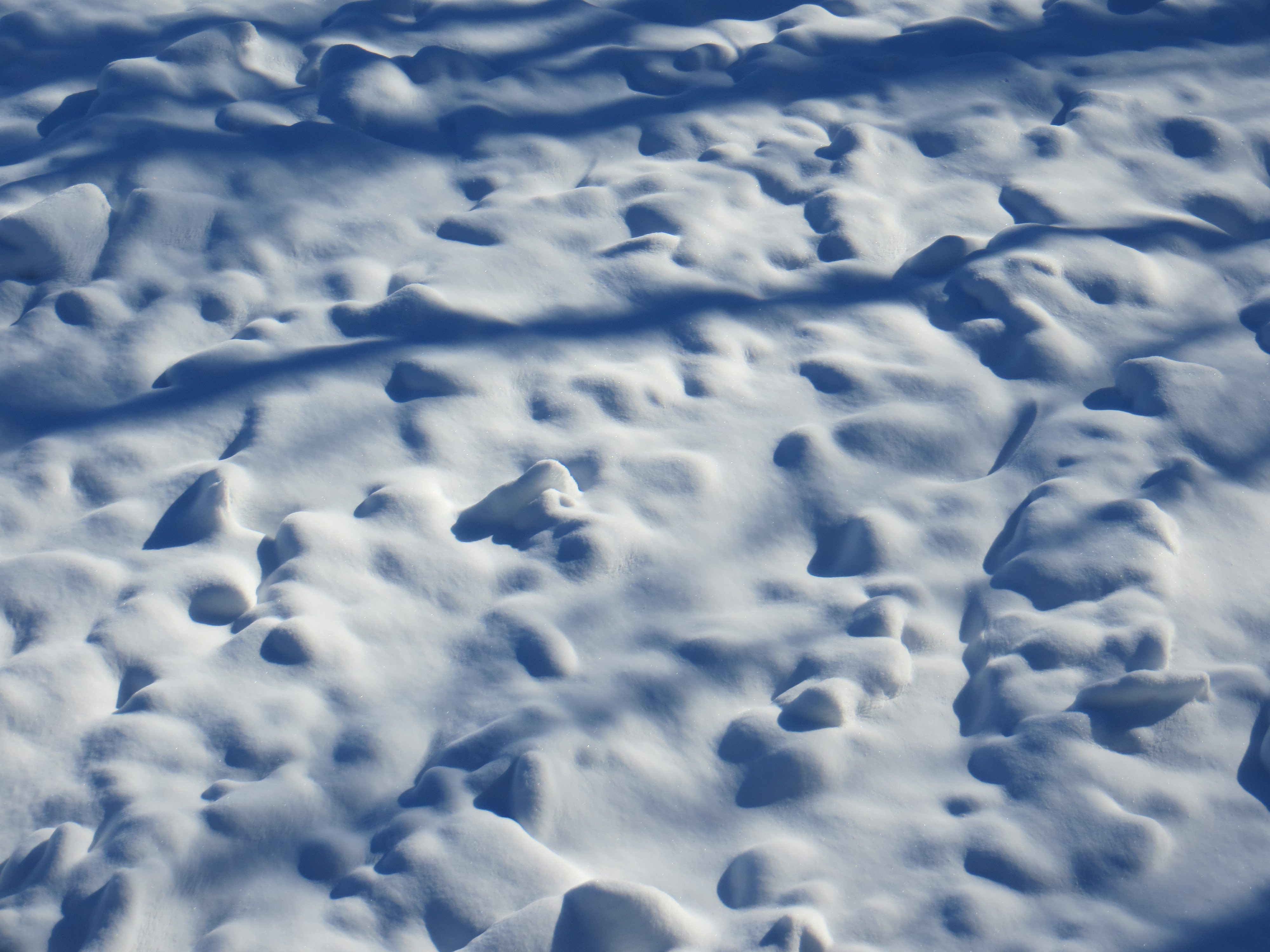
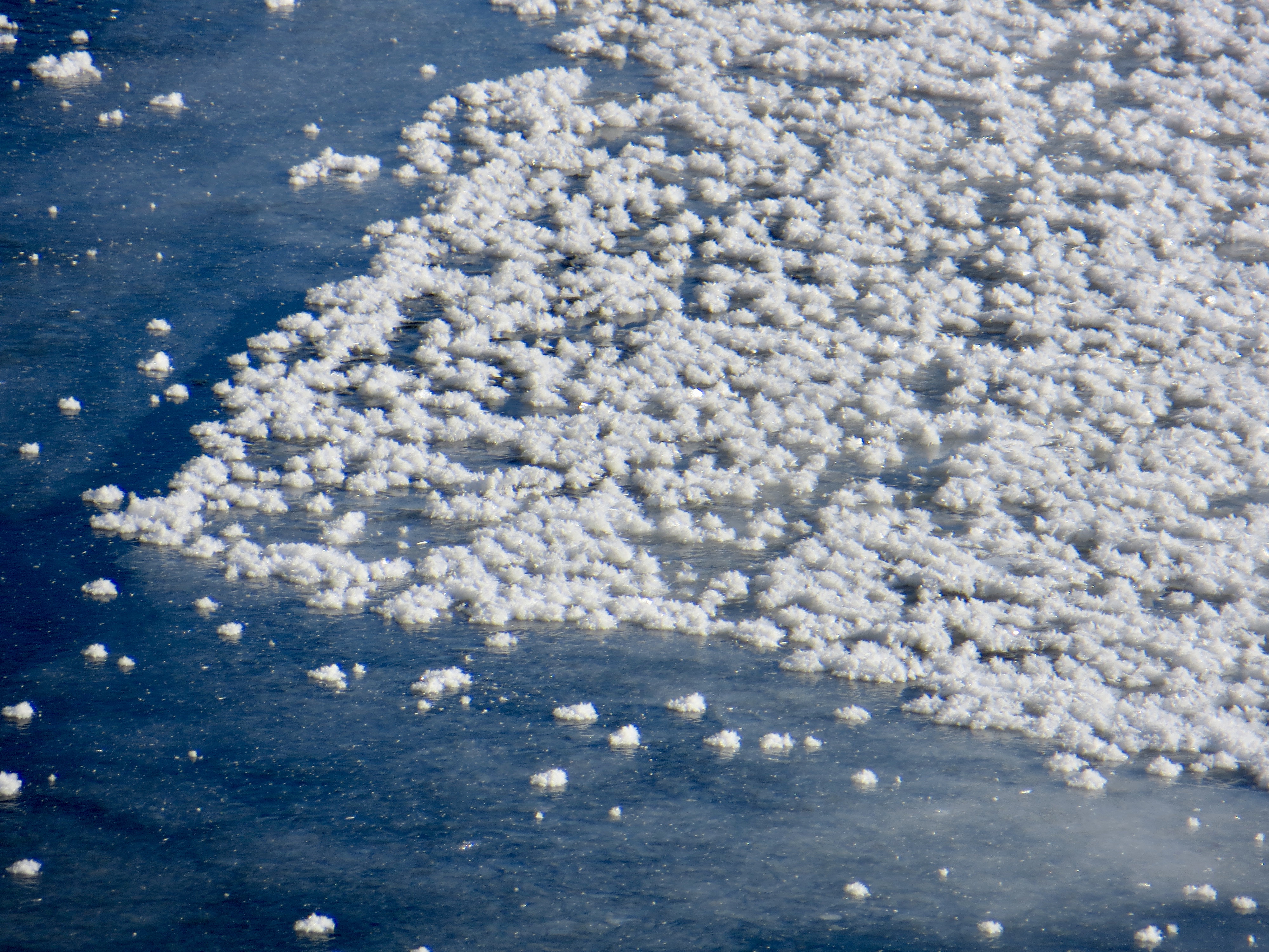
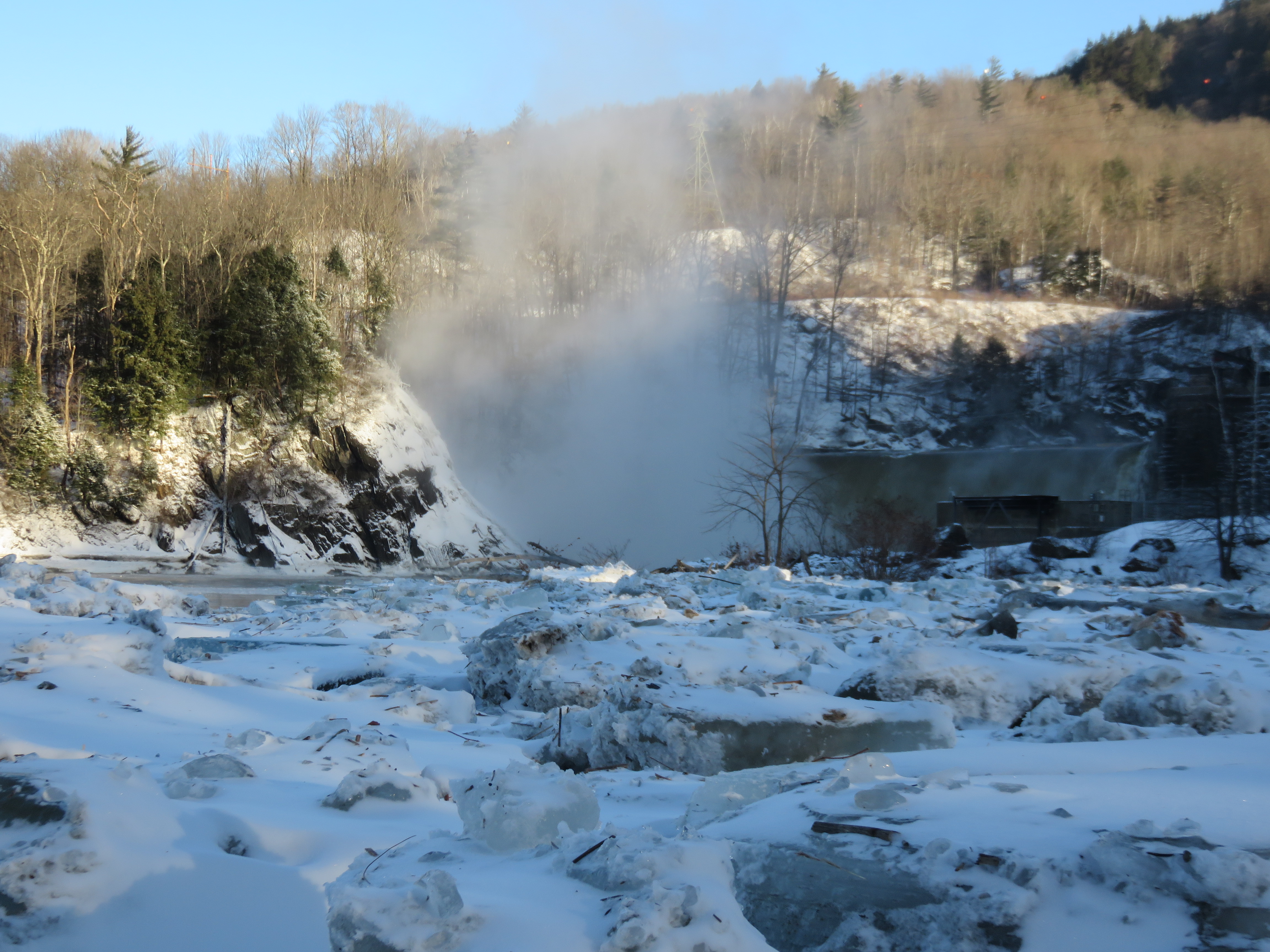
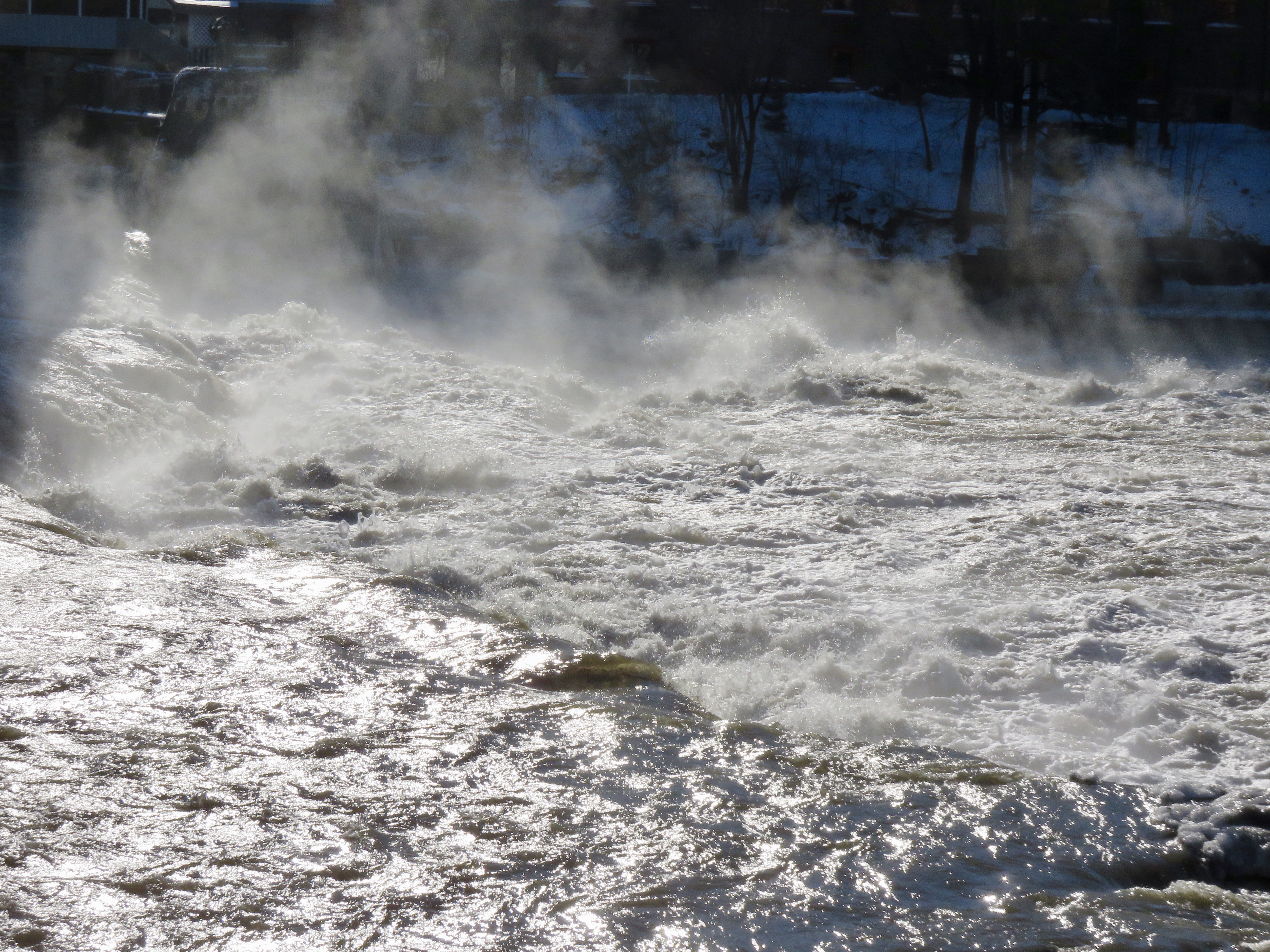
Mist over the river just after sunrise in Duxbury Looking north from the Winooski Street bridge in WaterburyIce on the Deforge hydroelectric damGreen Mountains from Deforge hydroelectric damOpen water under the Long Trail foot bridgeLooking north from the Jonesville bridgeRiver ice in shadow at Warren and Ruth Beeken Rivershore PreserveRichmond Town ParkSnow on ice in WillistonIce flowers in ColchesterEddy at Winooski FallsPancake ice at the Winooski River mouth in Colchester
Yesterday I participated in the Winter Bald Eagle Survey. My route was the Winooski River, from Waterbury to Lake Champlain. While I did not see any eagles, I got to see the river in its winter splendor. It was cold. The day started at 3 below zero and got all the way up to 6 degrees. Here is the Winooski River as I saw it yesterday.
Just after sunrise in Waterbury
Winooski Street Bridge, Waterbury
Deforge Hyrdoelectric Dam. Note the ice after high water earlier in the week.
From the Long Trail access point, Duxbury
Long Trail footbridge
From Jonesville bridge
Warren and Ruth Beeken Rivershore Preserve
Town park, Richmond
Near Fontaine Canoe Access, Williston
Overlook Park, Williston
Woodside Park, Colchester. The river is under all that ice.
Winooski River Walk, Winooski
Winooski, Vermont
Flooded fields at Ethan Allen Homestead
From the bike path bridge as the Winooski River ends at Lake Champlain